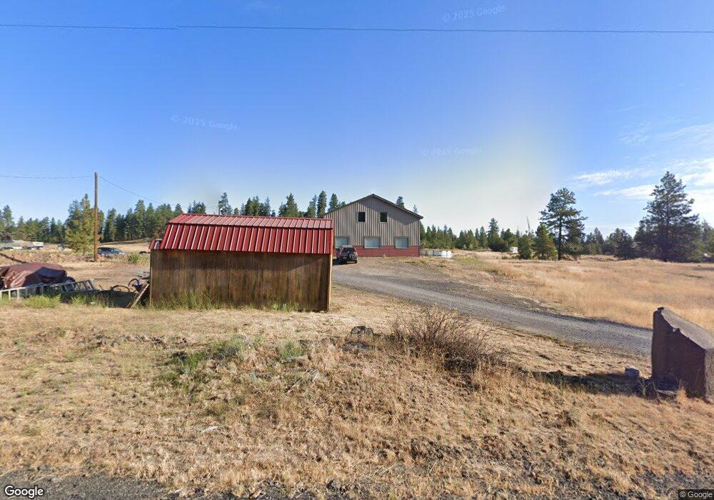
5424 W 5th Ave Spokane, WA 99224
West Spokane NeighborhoodEstimated Value: $512,000 - $581,516
2
Beds
2
Baths
2,160
Sq Ft
$258/Sq Ft
Est. Value
About This Home
This home is located at 5424 W 5th Ave, Spokane, WA 99224 and is currently estimated at $557,839, approximately $258 per square foot. 5424 W 5th Ave is a home with nearby schools including Hutton Elementary School, Sacajawea Middle School, and Lewis & Clark High School.
Ownership History
Date
Name
Owned For
Owner Type
Purchase Details
Closed on
Oct 2, 1997
Sold by
Riordan Rita E
Bought by
Jones Ross Wendy R
Current Estimated Value
Home Financials for this Owner
Home Financials are based on the most recent Mortgage that was taken out on this home.
Original Mortgage
$12,800
Outstanding Balance
$2,073
Interest Rate
7.54%
Mortgage Type
Seller Take Back
Estimated Equity
$555,766
Create a Home Valuation Report for This Property
The Home Valuation Report is an in-depth analysis detailing your home's value as well as a comparison with similar homes in the area
Home Values in the Area
Average Home Value in this Area
Purchase History
| Date | Buyer | Sale Price | Title Company |
|---|---|---|---|
| Jones Ross Wendy R | -- | Pioneer Title Company |
Source: Public Records
Mortgage History
| Date | Status | Borrower | Loan Amount |
|---|---|---|---|
| Open | Jones Ross Wendy R | $12,800 |
Source: Public Records
Tax History Compared to Growth
Tax History
| Year | Tax Paid | Tax Assessment Tax Assessment Total Assessment is a certain percentage of the fair market value that is determined by local assessors to be the total taxable value of land and additions on the property. | Land | Improvement |
|---|---|---|---|---|
| 2025 | $4,544 | $477,940 | $120,840 | $357,100 |
| 2024 | $4,544 | $453,140 | $95,840 | $357,300 |
| 2023 | $4,348 | $458,940 | $95,840 | $363,100 |
| 2022 | $4,093 | $458,940 | $95,840 | $363,100 |
| 2021 | $3,705 | $309,520 | $45,420 | $264,100 |
| 2020 | $490 | $37,850 | $37,850 | $0 |
| 2019 | $472 | $37,850 | $37,850 | $0 |
| 2018 | $548 | $37,850 | $37,850 | $0 |
| 2017 | $535 | $37,850 | $37,850 | $0 |
| 2016 | $543 | $37,850 | $37,850 | $0 |
| 2015 | $554 | $37,850 | $37,850 | $0 |
| 2014 | -- | $37,850 | $37,850 | $0 |
| 2013 | -- | $0 | $0 | $0 |
Source: Public Records
Map
Nearby Homes
- 728 S Basalt St
- 5819 W Greenwood Rd
- 604 S Grove Rd
- 1 N Grove Rd
- 5314 W Sunset Hwy Unit 10
- 0 Unassigned Address St Unit SAR202523258
- 821 S Azalea Dr
- 3803 W Greenwood Rd Unit 17-C
- 61XX W Deno Rd
- 1035 S Primrose Ln
- 3660 W Rosamond Ave
- 3504 W 2nd Ave
- 7xxx W Deno Rd
- 3611 W Rosamond Ave
- 9596 N Peaceful Pine Ln
- 3603 W Rosamond Ave
- 3328 W 4th Ave
- 7527 W Greenwood Rd
- 3317 W 7th Ave
- 3222 W 4th Ave
- 5616 W 5th Ave
- 322 S Basalt St
- 5515 W 5th Ave
- 5621 W 5th Ave
- 5517 W Greenwood Rd
- 5517 W 5th Ave
- 5820 W 5th Ave
- 602 S Rimrock Dr
- 602 S Rimrock Dr
- 5378 W Greenwood Rd
- xx Greenwood Rd
- 59xx W Greenwood Rd
- 5304 W Greenwood Rd
- 5803 W Greenwood Rd
- 5402 W Greenwood Rd
- 5426 W Greenwood Rd
- 5624 W Greenwood Rd
- 727 S Basalt St
- 702 S Rimrock Dr
- 311 S Grove Rd