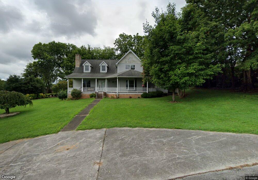
543 5th St Newport, TN 37821
Estimated Value: $321,855 - $418,000
--
Bed
2
Baths
3,216
Sq Ft
$117/Sq Ft
Est. Value
About This Home
This home is located at 543 5th St, Newport, TN 37821 and is currently estimated at $375,214, approximately $116 per square foot. 543 5th St is a home located in Cocke County with nearby schools including Newport Grammar School, Grace Christian School, and Calvary Baptist Tabernacle School.
Ownership History
Date
Name
Owned For
Owner Type
Purchase Details
Closed on
Feb 24, 2016
Sold by
Bacon Linda
Bought by
Bowden Trent and Bowden Jennifer
Current Estimated Value
Home Financials for this Owner
Home Financials are based on the most recent Mortgage that was taken out on this home.
Original Mortgage
$72,000
Outstanding Balance
$57,251
Interest Rate
3.79%
Mortgage Type
New Conventional
Estimated Equity
$317,963
Purchase Details
Closed on
Oct 30, 2006
Sold by
Masters James P
Bought by
Bacon Linda
Purchase Details
Closed on
Mar 16, 1988
Bought by
Masters James P
Create a Home Valuation Report for This Property
The Home Valuation Report is an in-depth analysis detailing your home's value as well as a comparison with similar homes in the area
Home Values in the Area
Average Home Value in this Area
Purchase History
| Date | Buyer | Sale Price | Title Company |
|---|---|---|---|
| Bowden Trent | $159,000 | -- | |
| Bacon Linda | $150,000 | -- | |
| Masters James P | $23,000 | -- |
Source: Public Records
Mortgage History
| Date | Status | Borrower | Loan Amount |
|---|---|---|---|
| Open | Bowden Trent | $72,000 |
Source: Public Records
Tax History Compared to Growth
Tax History
| Year | Tax Paid | Tax Assessment Tax Assessment Total Assessment is a certain percentage of the fair market value that is determined by local assessors to be the total taxable value of land and additions on the property. | Land | Improvement |
|---|---|---|---|---|
| 2024 | $2,336 | $46,975 | $7,175 | $39,800 |
| 2023 | $2,336 | $46,975 | $7,175 | $39,800 |
| 2022 | $2,338 | $46,975 | $7,175 | $39,800 |
| 2021 | $2,338 | $46,975 | $7,175 | $39,800 |
| 2020 | $2,338 | $46,975 | $7,175 | $39,800 |
| 2019 | $2,265 | $41,425 | $7,175 | $34,250 |
| 2018 | $2,265 | $41,425 | $7,175 | $34,250 |
| 2017 | $2,398 | $41,425 | $7,175 | $34,250 |
| 2016 | $2,269 | $41,425 | $7,175 | $34,250 |
| 2015 | $1,848 | $41,425 | $7,175 | $34,250 |
| 2014 | $1,848 | $41,425 | $7,175 | $34,250 |
| 2013 | $1,848 | $44,575 | $6,975 | $37,600 |
Source: Public Records
Map
Nearby Homes
- 228 Washington Ave
- 631 6th St
- 405 7th St
- 286 Belton Ave
- 208 Mims Ave
- 356 Woodlawn Ave
- 771 Commanche Dr
- 338 Jefferson Ave
- 525 Freeman Ave
- 560 Rack Ln
- 532 Woodlawn Ave
- 241 & 245 White Oak Ave
- 240 Clifton Heights Rd
- 294 Clifton Heights Rd
- 582 Cindy jo Rd
- 581 Summit Ridge Dr
- 000 Cindy jo Rd
- 380 Clifton Heights Rd
- 300 Harvest St
- 278 Harvest St
- 276 Washington Ave
- 540 6th St
- 546 6th St
- 273 Lincoln Ave
- 285 Lincoln Ave
- 548 5th St
- 542 5th St
- 281 Lincoln Ave
- 288 Washington Ave
- 536 5th St
- 291 Lincoln Ave
- 267 Lincoln Ave
- 262 Washington Ave
- 275 Washington Ave
- 281 Washington Ave
- 549 6th St
- 259 Lincoln Ave
- 274-276 N Lincoln Ave
- 274-276 Lincoln Ave
- 545 6th St