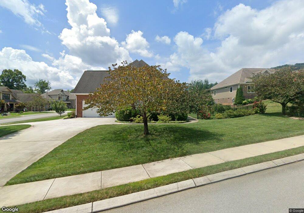
543 Canyon Edge Ln Unit 178 Hixson, TN 37343
Falling Water NeighborhoodEstimated Value: $645,700 - $710,000
--
Bed
--
Bath
2,395
Sq Ft
$282/Sq Ft
Est. Value
About This Home
This home is located at 543 Canyon Edge Ln Unit 178, Hixson, TN 37343 and is currently estimated at $676,175, approximately $282 per square foot. 543 Canyon Edge Ln Unit 178 is a home located in Hamilton County with nearby schools including Ganns Middle Valley Elementary School, Red Bank Middle School, and Red Bank High School.
Ownership History
Date
Name
Owned For
Owner Type
Purchase Details
Closed on
May 22, 2015
Sold by
Rowlett Ronald E and Rowlett Cheryl A
Bought by
Mahoney James H and Mahoney Brenda M
Current Estimated Value
Home Financials for this Owner
Home Financials are based on the most recent Mortgage that was taken out on this home.
Original Mortgage
$268,000
Outstanding Balance
$100,073
Interest Rate
3.77%
Mortgage Type
New Conventional
Estimated Equity
$576,102
Purchase Details
Closed on
May 28, 2013
Sold by
Stager Mark and Stager Irene L
Bought by
Rowlett Ronald E and Rowlette Cheryl A
Purchase Details
Closed on
Mar 12, 2010
Sold by
Barnetts Construction Inc
Bought by
Stager Mark and Stager Irene L
Home Financials for this Owner
Home Financials are based on the most recent Mortgage that was taken out on this home.
Original Mortgage
$283,080
Interest Rate
5.01%
Mortgage Type
New Conventional
Create a Home Valuation Report for This Property
The Home Valuation Report is an in-depth analysis detailing your home's value as well as a comparison with similar homes in the area
Home Values in the Area
Average Home Value in this Area
Purchase History
| Date | Buyer | Sale Price | Title Company |
|---|---|---|---|
| Mahoney James H | $335,000 | None Available | |
| Rowlett Ronald E | $363,000 | None Available | |
| Stager Mark | $353,851 | Century Title & Escrow Inc |
Source: Public Records
Mortgage History
| Date | Status | Borrower | Loan Amount |
|---|---|---|---|
| Open | Mahoney James H | $268,000 | |
| Previous Owner | Stager Mark | $283,080 |
Source: Public Records
Tax History Compared to Growth
Tax History
| Year | Tax Paid | Tax Assessment Tax Assessment Total Assessment is a certain percentage of the fair market value that is determined by local assessors to be the total taxable value of land and additions on the property. | Land | Improvement |
|---|---|---|---|---|
| 2024 | $1,972 | $88,125 | $0 | $0 |
| 2023 | $1,981 | $88,125 | $0 | $0 |
| 2022 | $1,981 | $88,125 | $0 | $0 |
| 2021 | $1,981 | $88,125 | $0 | $0 |
| 2020 | $2,447 | $88,175 | $0 | $0 |
| 2019 | $2,447 | $88,175 | $0 | $0 |
| 2018 | $2,447 | $88,175 | $0 | $0 |
| 2017 | $2,447 | $88,175 | $0 | $0 |
| 2016 | $2,401 | $0 | $0 | $0 |
| 2015 | $2,401 | $86,500 | $0 | $0 |
| 2014 | -- | $0 | $0 | $0 |
Source: Public Records
Map
Nearby Homes
- 5940 Sunset Canyon Dr
- 598 Blue Canyon Ln
- 595 Deer Valley Dr
- 805 Pickett Gulf Rd
- 733 Ray Ln
- 792 Sawmill Trail
- 6016&6014 Browntown Rd
- 0 Dayton Blvd Unit RTC2802699
- 0 Dayton Blvd Unit 1508885
- 311 Roberts Mill Rd
- 101 La Porte Dr
- 5977 Crestview Dr
- 1000 Sawyer Cemetery Rd
- 311 Branch Dr
- 0 Rocky Ledge Rd Unit 1514267
- 855 Split Rock Trail
- 5839 Dayton Blvd
- 100 Pine Cone Ln
- 434 Stoneridge Dr
- 107 Pine Forest Ln
- 543 Canyon Edge Ln
- 529 Canyon Edge Ln
- 5974 Sunset Canyon Dr
- 5974 Sunset Canyon Dr
- 5991 Sunset Canyon Dr
- 5991 Sunset Canyon St
- 536 Canyon Edge Ln
- 5973 Sunset Canyon Dr
- 5973 Sunset Canyon St
- 548 Canyon Edge Ln
- 5958 Sunset Canyon St
- 515 Canyon Edge Ln
- 515 Canyon Edge Ln Unit 197
- 556 Canyon Edge Ln
- 619 Clear Canyon Dr
- 619 Clear Canyon Dr Unit LOT 196
- 5955 Sunset Canyon Dr
- 5955 Sunset Canyon St
- 568 Canyon Edge Ln
- 568 Canyon Edge Ln