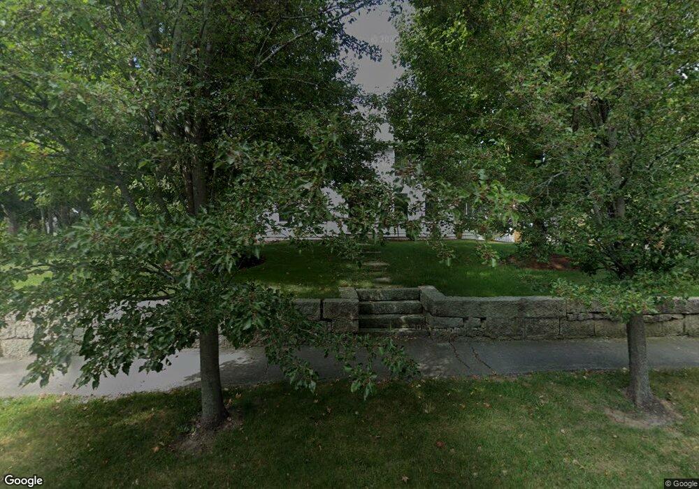
543 Country Way Scituate, MA 02066
Estimated Value: $1,524,000 - $2,169,000
4
Beds
4
Baths
4,239
Sq Ft
$449/Sq Ft
Est. Value
About This Home
This home is located at 543 Country Way, Scituate, MA 02066 and is currently estimated at $1,903,301, approximately $448 per square foot. 543 Country Way is a home located in Plymouth County with nearby schools including Cushing Elementary School, Lester J. Gates Middle School, and Scituate High School.
Ownership History
Date
Name
Owned For
Owner Type
Purchase Details
Closed on
Sep 29, 2020
Sold by
Pryor Stephen B and Pryor Leslie
Bought by
Tobin Paige L
Current Estimated Value
Home Financials for this Owner
Home Financials are based on the most recent Mortgage that was taken out on this home.
Original Mortgage
$300,000
Outstanding Balance
$266,834
Interest Rate
2.9%
Mortgage Type
New Conventional
Estimated Equity
$1,636,467
Purchase Details
Closed on
May 31, 2017
Sold by
Snow Frank R
Bought by
Pryor Stephen B and Pryor Leslie
Home Financials for this Owner
Home Financials are based on the most recent Mortgage that was taken out on this home.
Original Mortgage
$213,000
Interest Rate
3.97%
Mortgage Type
New Conventional
Create a Home Valuation Report for This Property
The Home Valuation Report is an in-depth analysis detailing your home's value as well as a comparison with similar homes in the area
Home Values in the Area
Average Home Value in this Area
Purchase History
| Date | Buyer | Sale Price | Title Company |
|---|---|---|---|
| Tobin Paige L | $1,270,000 | None Available | |
| Pryor Stephen B | $1,065,000 | -- |
Source: Public Records
Mortgage History
| Date | Status | Borrower | Loan Amount |
|---|---|---|---|
| Open | Tobin Paige L | $300,000 | |
| Previous Owner | Pryor Stephen B | $213,000 |
Source: Public Records
Tax History Compared to Growth
Tax History
| Year | Tax Paid | Tax Assessment Tax Assessment Total Assessment is a certain percentage of the fair market value that is determined by local assessors to be the total taxable value of land and additions on the property. | Land | Improvement |
|---|---|---|---|---|
| 2025 | $19,390 | $1,940,900 | $374,300 | $1,566,600 |
| 2024 | $17,027 | $1,643,500 | $340,300 | $1,303,200 |
| 2023 | $15,123 | $1,403,200 | $326,600 | $1,076,600 |
| 2022 | $15,123 | $1,198,300 | $295,300 | $903,000 |
| 2021 | $14,192 | $1,064,700 | $281,200 | $783,500 |
| 2020 | $13,472 | $997,900 | $270,400 | $727,500 |
| 2019 | $13,075 | $951,600 | $265,100 | $686,500 |
| 2018 | $11,758 | $842,900 | $254,200 | $588,700 |
| 2017 | $11,318 | $803,300 | $243,100 | $560,200 |
| 2016 | $10,753 | $760,500 | $221,000 | $539,500 |
| 2015 | $3,855 | $294,300 | $221,000 | $73,300 |
Source: Public Records
Map
Nearby Homes
- 14 Aberdeen Dr
- 59 Captain Peirce Rd
- 112 Hollett St
- 13 Hornbeam Rd
- 1 Hillside Rd
- 54 Woodland Rd
- 9 Kyle Path
- 16 3 Ring Rd
- 11 Forest Ln
- 9 Forest Ln Unit 9
- 2 Windward Ln
- 22 Kings Way
- 26 Mordecai Lincoln Rd
- 378 Tilden Rd
- 46 Marys Ln
- 290 Beaver Dam Rd
- 84 Booth Hill Rd
- 8 Trudys Ln
- 355 Tilden Rd
- 56 Sylvester Rd
- 545 Country Way
- 543R Country Way
- 543 rear Country Way
- 535 Country Way
- 543A Country Way
- 161 Captain Peirce Rd
- 541 Country Way
- 546 Country Way
- 157 Captain Pierce Rd
- 60 Captain Pierce Rd
- 167 Captain Peirce Rd
- 167 Captain Peirce Rd
- 536 Country Way
- 537 Country Way
- 533 Country Way
- 158 Captain Pierce Rd
- 147 Captain Pierce Rd
- 11 Louise Ln
- 166 Captain Pierce Rd
- 3 Louise Ln