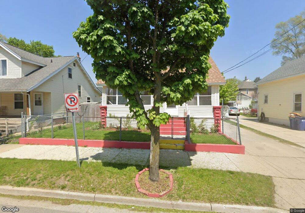
543 High St SW Grand Rapids, MI 49503
Roosevelt Park NeighborhoodEstimated Value: $207,000 - $244,000
4
Beds
1
Bath
1,166
Sq Ft
$194/Sq Ft
Est. Value
About This Home
This home is located at 543 High St SW, Grand Rapids, MI 49503 and is currently estimated at $225,996, approximately $193 per square foot. 543 High St SW is a home located in Kent County with nearby schools including Cesar E. Chavez Elementary, Burton Middle School, and Union High School.
Ownership History
Date
Name
Owned For
Owner Type
Purchase Details
Closed on
Aug 4, 1998
Sold by
Przrdrgz Cstr L
Bought by
Przrdrgz and Przrdrgz Prez
Current Estimated Value
Purchase Details
Closed on
Jul 16, 1987
Purchase Details
Closed on
Feb 20, 1987
Bought by
Perez-Rodriguez Martin
Purchase Details
Closed on
Sep 27, 1984
Bought by
Perez-Rodriguez Martin
Purchase Details
Closed on
Mar 7, 1984
Sold by
Deed For Mi
Bought by
Perez-Rodriguez Martin
Purchase Details
Closed on
Mar 2, 1983
Bought by
Perez-Rodriguez Martin
Purchase Details
Closed on
May 13, 1981
Bought by
Perez-Rodriguez Martin
Create a Home Valuation Report for This Property
The Home Valuation Report is an in-depth analysis detailing your home's value as well as a comparison with similar homes in the area
Home Values in the Area
Average Home Value in this Area
Purchase History
| Date | Buyer | Sale Price | Title Company |
|---|---|---|---|
| Przrdrgz | $48,000 | -- | |
| -- | $16,000 | -- | |
| Perez-Rodriguez Martin | $100 | -- | |
| Perez-Rodriguez Martin | $24,900 | -- | |
| Perez-Rodriguez Martin | $8,200 | -- | |
| Perez-Rodriguez Martin | -- | -- | |
| Perez-Rodriguez Martin | $23,700 | -- |
Source: Public Records
Tax History Compared to Growth
Tax History
| Year | Tax Paid | Tax Assessment Tax Assessment Total Assessment is a certain percentage of the fair market value that is determined by local assessors to be the total taxable value of land and additions on the property. | Land | Improvement |
|---|---|---|---|---|
| 2025 | $856 | $102,700 | $0 | $0 |
| 2024 | $856 | $80,100 | $0 | $0 |
| 2023 | $868 | $74,400 | $0 | $0 |
| 2022 | $824 | $63,300 | $0 | $0 |
| 2021 | $767 | $51,700 | $0 | $0 |
| 2020 | $733 | $42,800 | $0 | $0 |
| 2019 | $741 | $36,300 | $0 | $0 |
| 2018 | $741 | $29,900 | $0 | $0 |
| 2017 | $722 | $23,000 | $0 | $0 |
| 2016 | $730 | $21,000 | $0 | $0 |
| 2015 | $679 | $21,000 | $0 | $0 |
| 2013 | -- | $22,200 | $0 | $0 |
Source: Public Records
Map
Nearby Homes
- 601 High St SW
- 513 Crofton St SW
- 721 Olympia St SW
- 730 Liberty St SW
- 719 Coate Ct SW
- 757 Tulip St SW
- 358 Fox St SW
- 343 Corinne St SW
- 962 Sheridan Ave SW
- 543 Tenhaaf Ct SW
- 325 Brown St SW
- 362 Fox St SW
- 1265 Ionia Ave SW
- 125 Hall St SW
- 1805 Stafford Ave SW
- 1828 Stafford Ave SW
- 841 Oakland Ave SW
- 26 Hall St SW
- 47 Putnam St SW
- 46 Dickinson St SW
- 547 High St SW
- 539 High St SW
- 535 High St SW
- 548 Naylor St SW
- 544 Naylor St SW
- 552 Naylor St SW
- 529 High St SW
- 605 High St SW
- 540 Naylor St SW
- 556 Naylor St SW
- 546 High St SW
- 542 High St SW
- 534 Naylor St SW
- 602 Naylor St SW
- 609 High St SW
- 534 High St SW
- 604 High St SW
- 530 Naylor St SW
- 606 Naylor St SW
- 530 High St SW