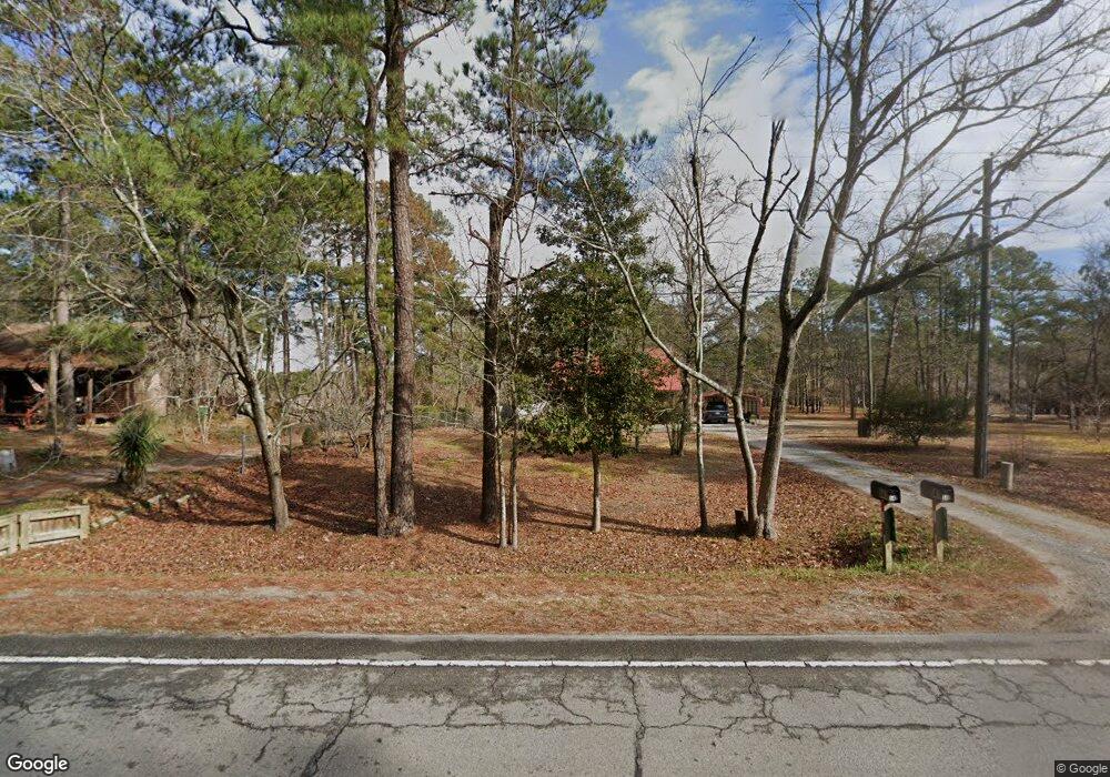
543 Highway 172 Hubert, NC 28539
Hubert NeighborhoodEstimated Value: $151,000 - $297,000
3
Beds
2
Baths
1,769
Sq Ft
$123/Sq Ft
Est. Value
About This Home
This home is located at 543 Highway 172, Hubert, NC 28539 and is currently estimated at $218,327, approximately $123 per square foot. 543 Highway 172 is a home located in Onslow County with nearby schools including Sand Ridge Elementary School, Swansboro Middle School, and Swansboro High School.
Ownership History
Date
Name
Owned For
Owner Type
Purchase Details
Closed on
Apr 26, 2025
Sold by
Jones Karla and Jones Daniel
Bought by
Jones Polly Ann
Current Estimated Value
Purchase Details
Closed on
Apr 10, 2006
Sold by
Larson Robert Dean and Larson Susan K
Bought by
Bell Clifford F and Bell Verna E
Purchase Details
Closed on
Apr 27, 1988
Bought by
Jones Robert Louis
Create a Home Valuation Report for This Property
The Home Valuation Report is an in-depth analysis detailing your home's value as well as a comparison with similar homes in the area
Home Values in the Area
Average Home Value in this Area
Purchase History
| Date | Buyer | Sale Price | Title Company |
|---|---|---|---|
| Jones Polly Ann | $150,000 | None Listed On Document | |
| Jones Polly Ann | $150,000 | None Listed On Document | |
| Bell Clifford F | $130,000 | None Available | |
| Jones Robert Louis | $75,000 | -- |
Source: Public Records
Tax History Compared to Growth
Tax History
| Year | Tax Paid | Tax Assessment Tax Assessment Total Assessment is a certain percentage of the fair market value that is determined by local assessors to be the total taxable value of land and additions on the property. | Land | Improvement |
|---|---|---|---|---|
| 2025 | $1,438 | $219,578 | $51,860 | $167,718 |
| 2024 | $1,438 | $219,578 | $51,860 | $167,718 |
| 2023 | $1,438 | $219,578 | $51,860 | $167,718 |
| 2022 | $1,438 | $219,578 | $51,860 | $167,718 |
| 2021 | $1,231 | $174,640 | $47,860 | $126,780 |
| 2020 | $1,211 | $171,710 | $47,860 | $123,850 |
| 2019 | $1,211 | $171,710 | $47,860 | $123,850 |
| 2018 | $1,211 | $171,710 | $47,860 | $123,850 |
| 2017 | $1,167 | $172,890 | $45,360 | $127,530 |
| 2016 | $1,167 | $172,890 | $0 | $0 |
| 2015 | $1,167 | $172,890 | $0 | $0 |
| 2014 | $1,167 | $172,890 | $0 | $0 |
Source: Public Records
Map
Nearby Homes
- 591 N Carolina 172
- 429 Highway 172
- 123 Sonia Dr
- 200 Tappi Terrace
- 212 Michel Ct
- 608 Calabash Dr
- 105 Marina Leigh Dr
- 203 Savanna Ct
- 603 Calabash Dr
- 600 Calabash Dr
- 101 Donna Ct
- 326 Sand Ridge Rd
- 205 Cinnamon Dr
- 186 Sand Ridge Rd
- 125 Rosemary Ave
- 107 Melissa Ln
- 266 Sand Ridge Rd
- 214 W Volant St
- 304 Sinclair Ln
- 413 Bay Harbor Ct
- 551 Highway 172
- 551 Highway 172
- 553 Highway 172
- 553 Highway 172
- 535 Highway 172
- 547 Highway 172
- 541 Highway 172
- 557 Highway 172
- 537 Highway 172
- 541 N Carolina 172
- 555 Highway 172
- 555 Highway Unit 172
- 531 Highway 172
- 537 N Carolina 172
- 533 Highway 172
- 559 Highway 172
- 525 Highway 172
- 581 Highway 172
- 565 Highway 172
- 583 Highway 172
