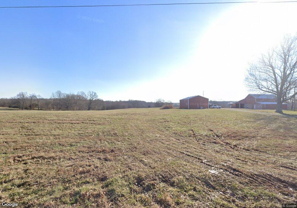
543 Jake Link Rd Cottontown, TN 37048
Estimated Value: $355,553 - $535,000
--
Bed
1
Bath
1,480
Sq Ft
$310/Sq Ft
Est. Value
About This Home
This home is located at 543 Jake Link Rd, Cottontown, TN 37048 and is currently estimated at $459,138, approximately $310 per square foot. 543 Jake Link Rd is a home located in Sumner County with nearby schools including Oakmont Elementary School, White House Middle School, and White House High School.
Ownership History
Date
Name
Owned For
Owner Type
Purchase Details
Closed on
Mar 8, 2022
Sold by
Helen Nichols
Bought by
South Sanneny D and South Tina L
Current Estimated Value
Purchase Details
Closed on
Jul 23, 2021
Sold by
Vanshumake Larry and Shumake Henry Leroy
Bought by
Nichols Helen and Carman Ray
Purchase Details
Closed on
May 7, 2015
Sold by
Petitt Leslie S
Bought by
Petitt Cary L and Petitt Amanda B
Purchase Details
Closed on
Oct 20, 2003
Sold by
Biggs James Ralph and Biggs William Ray
Bought by
Dowell Glenda Nell
Purchase Details
Closed on
Jul 1, 1999
Sold by
Ficher Charles and Fisher Lois
Bought by
Mcmahon Gerry Thomas and Mcmahon Robbie Ann
Create a Home Valuation Report for This Property
The Home Valuation Report is an in-depth analysis detailing your home's value as well as a comparison with similar homes in the area
Home Values in the Area
Average Home Value in this Area
Purchase History
| Date | Buyer | Sale Price | Title Company |
|---|---|---|---|
| South Sanneny D | $245,000 | None Listed On Document | |
| Nichols Helen | $185,000 | Highland Title Llc | |
| Petitt Cary L | $15,000 | None Available | |
| Dowell Glenda Nell | -- | Forsythe Title & Escrow | |
| Mcmahon Gerry Thomas | $250,000 | -- |
Source: Public Records
Tax History Compared to Growth
Tax History
| Year | Tax Paid | Tax Assessment Tax Assessment Total Assessment is a certain percentage of the fair market value that is determined by local assessors to be the total taxable value of land and additions on the property. | Land | Improvement |
|---|---|---|---|---|
| 2024 | $1,428 | $100,500 | $55,000 | $45,500 |
| 2023 | $799 | $35,475 | $14,850 | $20,625 |
| 2022 | $802 | $35,475 | $14,850 | $20,625 |
| 2021 | $802 | $35,475 | $14,850 | $20,625 |
| 2020 | $802 | $35,475 | $14,850 | $20,625 |
| 2019 | $802 | $0 | $0 | $0 |
| 2018 | $653 | $0 | $0 | $0 |
| 2017 | $653 | $0 | $0 | $0 |
| 2016 | $653 | $0 | $0 | $0 |
| 2015 | -- | $0 | $0 | $0 |
| 2014 | -- | $0 | $0 | $0 |
Source: Public Records
Map
Nearby Homes
- 1031 Kennedy Ln
- 1044 Washington Dr
- 0 Jake Link Rd
- 1040 Washington Dr
- 1 Clearview Rd
- 541 Clearview Rd
- 357 Raymond Hodges Rd
- 1003 Roland Ct
- 686 Clearview Rd
- 358 Spring Valley Dr
- 320 Spring Valley Dr
- 222 Raymond Hodges Rd
- 0 New Deal Pots Rd
- 721 New Deal Potts Rd
- 116 Bradley Ln
- 421 Roney Creek Private Cove
- 4628 Hwy 31w
- 4606 Highway 31 W
- 4648 Highway 31 W
- 199 Broaderick Ln
- 604 Jake Link Rd
- 1201 Maxwell Branch Rd
- 1203 Maxwell Branch Rd
- 512 Jake Link Rd
- 508 Jake Link Rd
- 650 Jake Link Rd
- 1183 Maxwell Branch Rd
- 117 Durrett Ln
- 1158 Maxwell Branch Rd
- 6 Tom Link Rd
- 0 Tom Link Rd
- 1197 Maxwell Branch Rd
- 112 Durrett Ln
- 539 Tom Link Rd
- 1167 Maxwell Branch Rd
- 535 Tom Link Rd
- 1159 Maxwell Branch Rd
- 1134 Maxwell Branch Rd
- 531 Tom Link Rd
- 527 Tom Link Rd