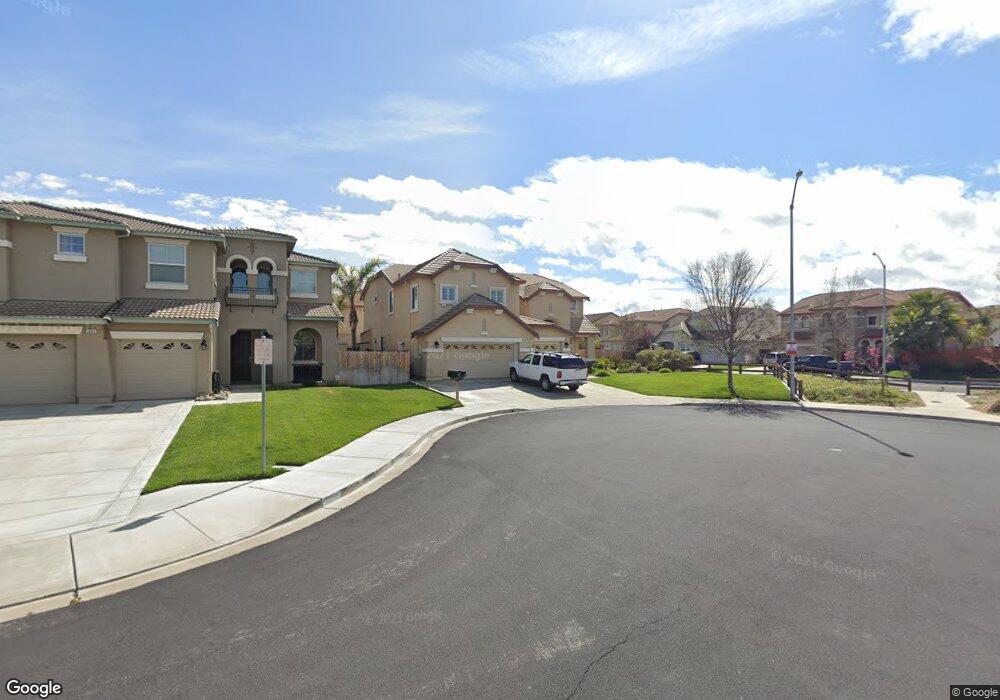
543 Keats Ct Discovery Bay, CA 94505
Estimated Value: $778,000 - $1,010,000
4
Beds
3
Baths
3,392
Sq Ft
$260/Sq Ft
Est. Value
About This Home
This home is located at 543 Keats Ct, Discovery Bay, CA 94505 and is currently estimated at $882,597, approximately $260 per square foot. 543 Keats Ct is a home located in Contra Costa County with nearby schools including Timber Point Elementary School, Excelsior Middle School, and Liberty High School.
Ownership History
Date
Name
Owned For
Owner Type
Purchase Details
Closed on
Nov 25, 2011
Sold by
Leong Norlita N
Bought by
Crowder Stephen
Current Estimated Value
Purchase Details
Closed on
Sep 8, 2006
Sold by
Western Pacific Housing Inc
Bought by
Leong Norlita N
Home Financials for this Owner
Home Financials are based on the most recent Mortgage that was taken out on this home.
Original Mortgage
$124,965
Interest Rate
6.18%
Mortgage Type
Stand Alone Second
Create a Home Valuation Report for This Property
The Home Valuation Report is an in-depth analysis detailing your home's value as well as a comparison with similar homes in the area
Home Values in the Area
Average Home Value in this Area
Purchase History
| Date | Buyer | Sale Price | Title Company |
|---|---|---|---|
| Crowder Stephen | $295,000 | None Available | |
| Leong Norlita N | $625,000 | Placer Title Company | |
| Leong Norlita N | -- | Placer Title Company |
Source: Public Records
Mortgage History
| Date | Status | Borrower | Loan Amount |
|---|---|---|---|
| Previous Owner | Leong Norlita N | $124,965 | |
| Previous Owner | Leong Norlita N | $499,860 |
Source: Public Records
Tax History Compared to Growth
Tax History
| Year | Tax Paid | Tax Assessment Tax Assessment Total Assessment is a certain percentage of the fair market value that is determined by local assessors to be the total taxable value of land and additions on the property. | Land | Improvement |
|---|---|---|---|---|
| 2025 | $6,888 | $401,925 | $37,676 | $364,249 |
| 2024 | $6,888 | $394,045 | $36,938 | $357,107 |
| 2023 | $6,761 | $386,319 | $36,214 | $350,105 |
| 2022 | $6,628 | $378,745 | $35,504 | $343,241 |
| 2021 | $6,454 | $371,319 | $34,808 | $336,511 |
| 2019 | $6,319 | $360,308 | $33,777 | $326,531 |
| 2018 | $6,053 | $353,244 | $33,115 | $320,129 |
| 2017 | $5,929 | $346,318 | $32,466 | $313,852 |
| 2016 | $5,610 | $339,529 | $31,830 | $307,699 |
| 2015 | $5,438 | $334,430 | $31,352 | $303,078 |
| 2014 | $5,339 | $327,880 | $30,738 | $297,142 |
Source: Public Records
Map
Nearby Homes
- 115 Tennyson Ct
- 1688 Wilde Dr
- 117 Cardinal Ln
- Plan 6 at Seagrass - Estates
- Plan 2 at Seagrass - Residences
- Plan 3 at Seagrass - Residences
- Plan 4 at Seagrass - Estates
- Plan 1 at Seagrass - Residences
- Plan 5 at Seagrass - Estates
- 1058 Bradbury Dr
- 2233 Hampshire Dr
- 531 Half Moon Ct
- 834 Blue Mesa Ct
- 716 Seminole Ct
- 1145 Bradbury Dr
- 1154 Bradbury Dr
- 3638 Otter Brook Loop
- 335 Astilbe St
- 343 Astilbe St
- 3627 Otter Brook Loop