543 Sherrill Farm Rd Lincolnton, NC 28092
Estimated Value: $428,000 - $508,000
3
Beds
3
Baths
1,930
Sq Ft
$244/Sq Ft
Est. Value
About This Home
This home is located at 543 Sherrill Farm Rd, Lincolnton, NC 28092 and is currently estimated at $471,279, approximately $244 per square foot. 543 Sherrill Farm Rd is a home located in Lincoln County with nearby schools including Iron Station Elementary School, North Lincoln Middle School, and North Lincoln High School.
Ownership History
Date
Name
Owned For
Owner Type
Purchase Details
Closed on
Jun 4, 2015
Sold by
Pressley Shawn and Pressley Sandy
Bought by
Bridges Madison B and Bridges Katherine C
Current Estimated Value
Home Financials for this Owner
Home Financials are based on the most recent Mortgage that was taken out on this home.
Original Mortgage
$210,123
Outstanding Balance
$166,430
Interest Rate
4.4%
Mortgage Type
FHA
Estimated Equity
$304,849
Purchase Details
Closed on
Sep 12, 2003
Bought by
Pressley Shawn W and Pressley Sandy B
Purchase Details
Closed on
Jun 17, 1999
Bought by
Lapat Philip E and Lapat Doris G
Create a Home Valuation Report for This Property
The Home Valuation Report is an in-depth analysis detailing your home's value as well as a comparison with similar homes in the area
Home Values in the Area
Average Home Value in this Area
Purchase History
| Date | Buyer | Sale Price | Title Company |
|---|---|---|---|
| Bridges Madison B | $214,000 | None Available | |
| Pressley Shawn W | $184,500 | -- | |
| Lapat Philip E | $179,000 | -- |
Source: Public Records
Mortgage History
| Date | Status | Borrower | Loan Amount |
|---|---|---|---|
| Open | Bridges Madison B | $210,123 |
Source: Public Records
Tax History Compared to Growth
Tax History
| Year | Tax Paid | Tax Assessment Tax Assessment Total Assessment is a certain percentage of the fair market value that is determined by local assessors to be the total taxable value of land and additions on the property. | Land | Improvement |
|---|---|---|---|---|
| 2025 | $2,404 | $362,866 | $66,974 | $295,892 |
| 2024 | $2,384 | $362,866 | $66,974 | $295,892 |
| 2023 | $2,379 | $362,866 | $66,974 | $295,892 |
| 2022 | $1,814 | $228,336 | $48,496 | $179,840 |
| 2021 | $1,814 | $228,336 | $48,496 | $179,840 |
| 2020 | $1,653 | $228,336 | $48,496 | $179,840 |
| 2019 | $1,607 | $228,336 | $48,496 | $179,840 |
| 2018 | $1,553 | $202,859 | $47,253 | $155,606 |
| 2017 | $1,442 | $202,859 | $47,253 | $155,606 |
| 2016 | $1,442 | $202,859 | $47,253 | $155,606 |
| 2015 | $1,499 | $202,859 | $47,253 | $155,606 |
| 2014 | $1,577 | $216,434 | $48,510 | $167,924 |
Source: Public Records
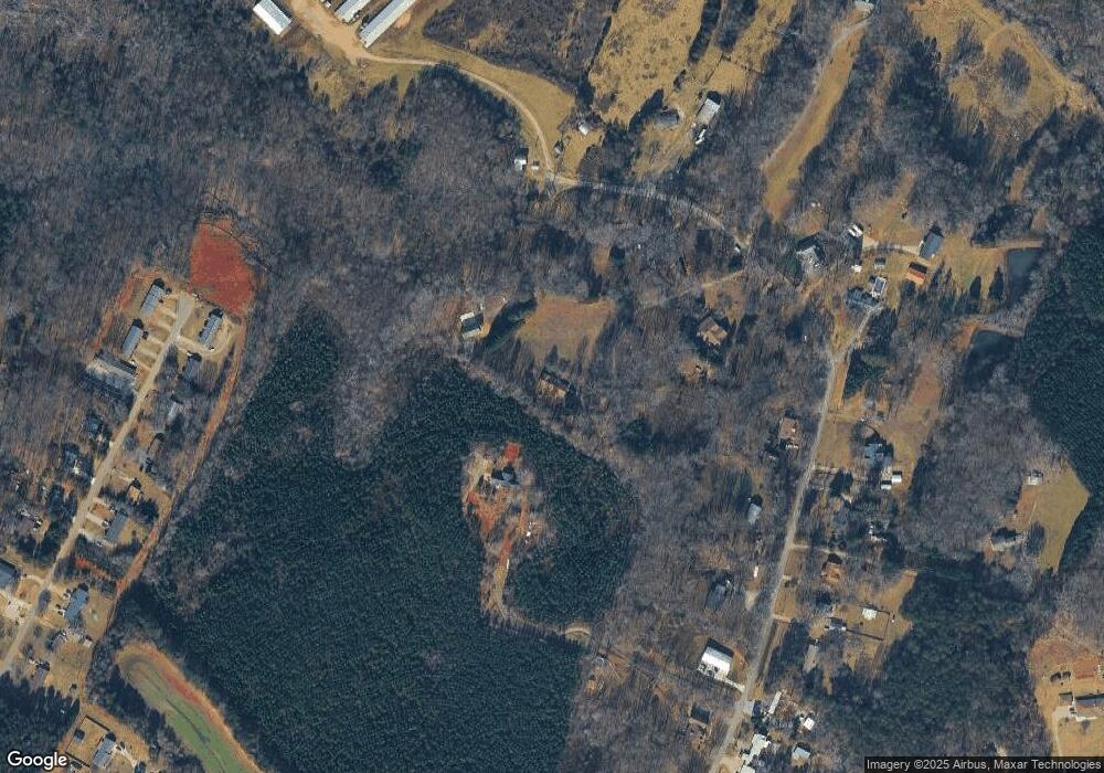
Map
Nearby Homes
- 370 Sherrill Farm Rd
- 2794 N Carolina Highway 150
- 2583 Wallace Acres Ln
- 2984 N Carolina 27
- 2546 N Carolina Highway 150
- 000 Curveview Rd
- 741 Sunridge Dr
- 00 Mcalister Rd
- 1471 Arden Dr
- 1335 Huckleberry Dr
- 2914 Weatherfield Dr
- 2911 Weatherfield Dr
- 1818 Maple Ln
- 3478 N Carolina Highway 150
- 2983 Tavistock Ln
- 2202 Carpenter Farms Dr
- 3164 Andrew Link Rd
- lot 22 Weatherwood Dr Unit 22
- 575 Hill Rd
- 2248 Catawba Heights
- 569 Sherrill Farm Rd
- 405 Sherrill Farm Rd
- 563 Sherrill Farm Rd
- 539 Sherrill Farm Rd
- 612 Sherrill Farm Rd
- 459 Sherrill Farm Rd
- 483 Sherrill Farm Rd
- 517 Sherrill Farm Rd
- 431 Sherrill Farm Rd
- 580 Sherrill Farm Rd
- 544 Sherrill Farm Rd
- 415 Sherrill Farm Rd
- 518 Sherrill Farm Rd
- 366 Sunny Hill Dr Unit 370
- 484 Sherrill Farm Rd
- 446 Sherrill Farm Rd
- 464 Sherrill Farm Rd
- 356 Sunny Hill Dr
- 436 Sherrill Farm Rd
- 358 Sunny Hill Dr