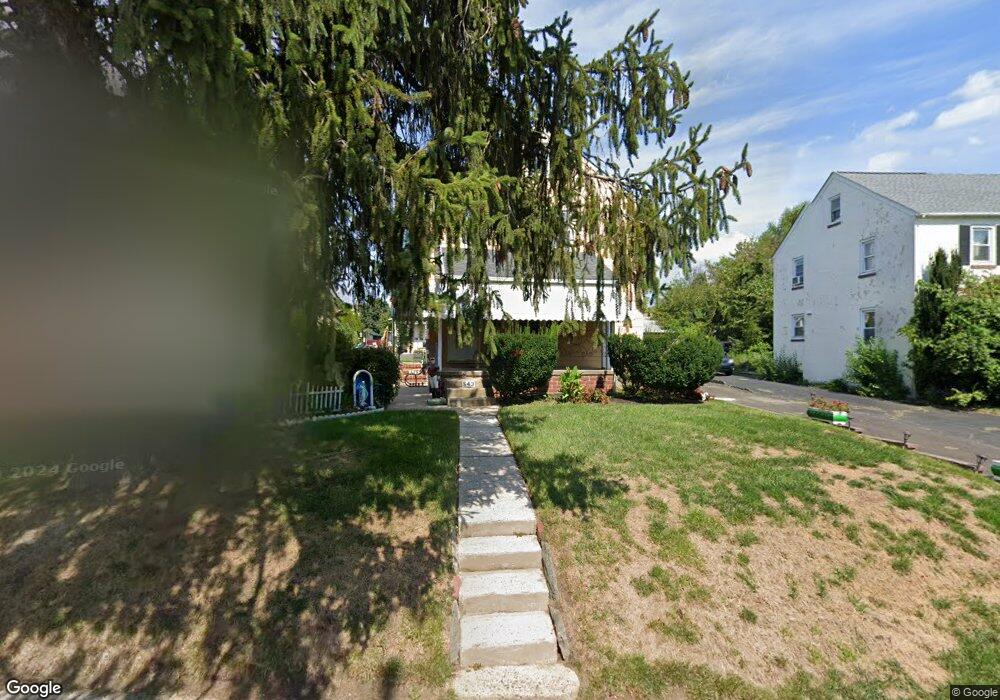
543 W Glenside Ave Glenside, PA 19038
Estimated Value: $371,000 - $461,000
5
Beds
3
Baths
1,596
Sq Ft
$271/Sq Ft
Est. Value
About This Home
This home is located at 543 W Glenside Ave, Glenside, PA 19038 and is currently estimated at $431,837, approximately $270 per square foot. 543 W Glenside Ave is a home located in Montgomery County with nearby schools including Elkins Park School, Cedarbrook Middle School, and Cheltenham High School.
Ownership History
Date
Name
Owned For
Owner Type
Purchase Details
Closed on
Mar 1, 2004
Sold by
Deweese Rosalie and Ciocca Patsy J
Bought by
Ciocca John
Current Estimated Value
Home Financials for this Owner
Home Financials are based on the most recent Mortgage that was taken out on this home.
Original Mortgage
$172,000
Interest Rate
5.67%
Create a Home Valuation Report for This Property
The Home Valuation Report is an in-depth analysis detailing your home's value as well as a comparison with similar homes in the area
Home Values in the Area
Average Home Value in this Area
Purchase History
| Date | Buyer | Sale Price | Title Company |
|---|---|---|---|
| Ciocca John | $215,000 | -- |
Source: Public Records
Mortgage History
| Date | Status | Borrower | Loan Amount |
|---|---|---|---|
| Closed | Ciocca John | $172,000 |
Source: Public Records
Tax History Compared to Growth
Tax History
| Year | Tax Paid | Tax Assessment Tax Assessment Total Assessment is a certain percentage of the fair market value that is determined by local assessors to be the total taxable value of land and additions on the property. | Land | Improvement |
|---|---|---|---|---|
| 2025 | $9,067 | $135,760 | $57,520 | $78,240 |
| 2024 | $9,067 | $135,760 | $57,520 | $78,240 |
| 2023 | $8,965 | $135,760 | $57,520 | $78,240 |
| 2022 | $8,811 | $135,760 | $57,520 | $78,240 |
| 2021 | $8,570 | $135,760 | $57,520 | $78,240 |
| 2020 | $8,323 | $135,760 | $57,520 | $78,240 |
| 2019 | $8,157 | $135,760 | $57,520 | $78,240 |
| 2018 | $2,510 | $135,760 | $57,520 | $78,240 |
| 2017 | $7,787 | $135,760 | $57,520 | $78,240 |
| 2016 | $7,735 | $135,760 | $57,520 | $78,240 |
| 2015 | $7,374 | $135,760 | $57,520 | $78,240 |
| 2014 | $7,374 | $135,760 | $57,520 | $78,240 |
Source: Public Records
Map
Nearby Homes
- 65 Limekiln Pike
- 516 Beaver Rd
- 504 Plymouth Rd
- 407 W Waverly Rd
- 229 Edge Hill Rd
- 2444 Fairhill Ave
- 446 Twickenham Rd
- 221 Central Ave
- 230 Harrison Ave
- 2711 Taft Ave
- 20 W Waverly Rd
- 119 S Easton Rd
- 221 S Easton Rd
- 0 Tyson Ave Unit PAMC2112670
- 2541 Church Rd
- 222 Ruscombe Ave
- 711 Custis Rd
- 0 Logan Ave Unit PAMC2112680
- 120 Linden Ave
- 140 Linden Ave
- 531 W Glenside Ave
- 545 W Glenside Ave
- 527 W Glenside Ave
- 547 W Glenside Ave
- 73 Limekiln Pike
- 69 Limekiln Pike
- 532 East Ave
- 534 East Ave
- 530 East Ave
- 528 526-528 East Ave
- 536 East Ave
- 528 East Ave
- 538 East Ave
- 524 East Ave
- 540 East Ave
- 521 W Glenside Ave
- 81 Limekiln Pike
- 522 East Ave
- 542 W Glenside Ave
- 544 W Glenside Ave