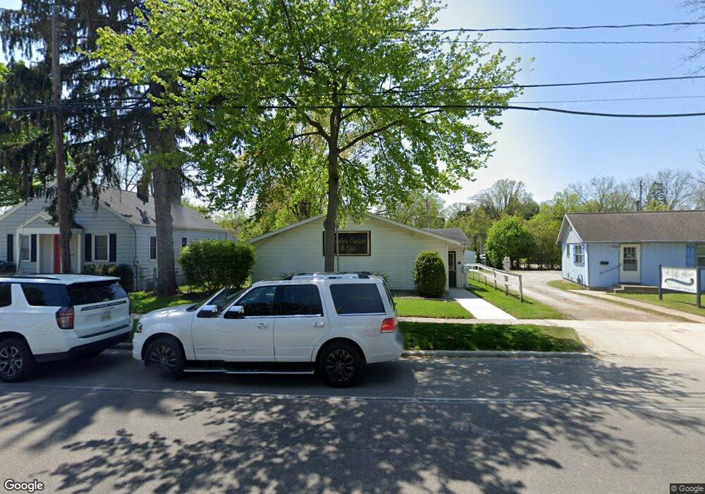
543 W Maple Ave Adrian, MI 49221
Estimated Value: $219,023
--
Bed
--
Bath
2,308
Sq Ft
$95/Sq Ft
Est. Value
About This Home
This home is located at 543 W Maple Ave, Adrian, MI 49221 and is currently estimated at $219,023, approximately $94 per square foot. 543 W Maple Ave is a home located in Lenawee County with nearby schools including Adrian High School, Berean Baptist Academy, and Trenton Hills Learning Center.
Ownership History
Date
Name
Owned For
Owner Type
Purchase Details
Closed on
Jan 7, 2020
Sold by
Jessee Beth A
Bought by
Rodosalewicz Craig and Rodosalewicz Nicole
Current Estimated Value
Home Financials for this Owner
Home Financials are based on the most recent Mortgage that was taken out on this home.
Original Mortgage
$120,000
Outstanding Balance
$78,801
Interest Rate
3.73%
Mortgage Type
New Conventional
Estimated Equity
$140,222
Purchase Details
Closed on
Feb 20, 2017
Sold by
Spirited Art Llc
Bought by
Jessee Beth A
Purchase Details
Closed on
Mar 20, 2015
Sold by
Drogowski John W and Drogowski Wanda N
Bought by
Spirited Art Llc
Create a Home Valuation Report for This Property
The Home Valuation Report is an in-depth analysis detailing your home's value as well as a comparison with similar homes in the area
Home Values in the Area
Average Home Value in this Area
Purchase History
| Date | Buyer | Sale Price | Title Company |
|---|---|---|---|
| Rodosalewicz Craig | $127,500 | None Available | |
| Jessee Beth A | $75,000 | None Available | |
| Spirited Art Llc | -- | None Available | |
| Drogowski John W | $67,000 | None Available |
Source: Public Records
Mortgage History
| Date | Status | Borrower | Loan Amount |
|---|---|---|---|
| Open | Rodosalewicz Craig | $120,000 |
Source: Public Records
Tax History Compared to Growth
Tax History
| Year | Tax Paid | Tax Assessment Tax Assessment Total Assessment is a certain percentage of the fair market value that is determined by local assessors to be the total taxable value of land and additions on the property. | Land | Improvement |
|---|---|---|---|---|
| 2025 | $4,066 | $60,400 | $0 | $0 |
| 2024 | $2,399 | $66,500 | $0 | $0 |
| 2023 | $3,118 | $61,200 | $0 | $0 |
| 2022 | $2,998 | $55,600 | $0 | $0 |
| 2021 | $2,945 | $48,900 | $0 | $0 |
| 2020 | $2,925 | $47,200 | $0 | $0 |
| 2019 | $2,512 | $55,800 | $0 | $0 |
| 2018 | $3,517 | $60,941 | $0 | $0 |
| 2017 | $3,102 | $54,226 | $0 | $0 |
| 2016 | $3,077 | $51,897 | $0 | $0 |
| 2014 | -- | $0 | $0 | $0 |
Source: Public Records
Map
Nearby Homes
- 306 Summer St
- 333 Greenly St
- 227 Greenly St
- 443 Stockford Dr
- 143 Park St
- 146 Budlong St
- 228 W Church St
- 670 Stockford Dr
- 914 W Maumee St
- 705 College Ave
- 150 E Hunt St
- 682 Budlong St
- 416 Allis St
- 308 Toledo St
- 612 Clinton St
- 446 Allis St
- 422 S Winter St
- 770 Lakeshire Trail Unit 201 West
- 817 N Locust St
- 903 Michigan Ave