5432 Highway 76 E Springfield, TN 37172
Estimated Value: $1,200,000 - $2,446,000
Studio
4
Baths
4,595
Sq Ft
$407/Sq Ft
Est. Value
About This Home
This home is located at 5432 Highway 76 E, Springfield, TN 37172 and is currently estimated at $1,869,298, approximately $406 per square foot. 5432 Highway 76 E is a home located in Robertson County with nearby schools including Krisle Elementary School, Innovation Academy, and Springfield High School.
Ownership History
Date
Name
Owned For
Owner Type
Purchase Details
Closed on
Nov 15, 2013
Sold by
Dorris Philip Anthony
Bought by
Baggett Mac E and Baggett Bonnie Beth
Current Estimated Value
Purchase Details
Closed on
Mar 11, 2002
Sold by
Wieland Bernard E and Wieland Lee
Bought by
Dorris Philip A
Home Financials for this Owner
Home Financials are based on the most recent Mortgage that was taken out on this home.
Original Mortgage
$622,500
Interest Rate
6.98%
Purchase Details
Closed on
May 30, 1997
Bought by
Wieland Bernard E and Wieland Lee
Purchase Details
Closed on
Apr 29, 1987
Bought by
Shearer Robert A
Purchase Details
Closed on
Jan 1, 1978
Create a Home Valuation Report for This Property
The Home Valuation Report is an in-depth analysis detailing your home's value as well as a comparison with similar homes in the area
Home Values in the Area
Average Home Value in this Area
Purchase History
| Date | Buyer | Sale Price | Title Company |
|---|---|---|---|
| Baggett Mac E | $1,000,000 | -- | |
| Dorris Philip A | $830,000 | -- | |
| Wieland Bernard E | $825,000 | -- | |
| Shearer Robert A | -- | -- | |
| -- | $127,500 | -- |
Source: Public Records
Mortgage History
| Date | Status | Borrower | Loan Amount |
|---|---|---|---|
| Previous Owner | Not Available | $622,500 |
Source: Public Records
Tax History
| Year | Tax Paid | Tax Assessment Tax Assessment Total Assessment is a certain percentage of the fair market value that is determined by local assessors to be the total taxable value of land and additions on the property. | Land | Improvement |
|---|---|---|---|---|
| 2025 | $4,821 | $267,850 | $64,675 | $203,175 |
| 2024 | $4,821 | $267,850 | $64,675 | $203,175 |
| 2023 | $4,821 | $267,850 | $64,675 | $203,175 |
| 2022 | $5,679 | $220,450 | $47,000 | $173,450 |
| 2021 | $5,679 | $220,450 | $47,000 | $173,450 |
| 2020 | $5,679 | $220,450 | $47,000 | $173,450 |
| 2019 | $5,679 | $220,450 | $47,000 | $173,450 |
| 2018 | $5,679 | $220,450 | $47,000 | $173,450 |
| 2017 | $5,676 | $183,975 | $36,875 | $147,100 |
| 2016 | $5,676 | $183,975 | $36,875 | $147,100 |
| 2015 | $5,446 | $183,975 | $36,875 | $147,100 |
| 2014 | $5,426 | $183,300 | $36,875 | $146,425 |
Source: Public Records
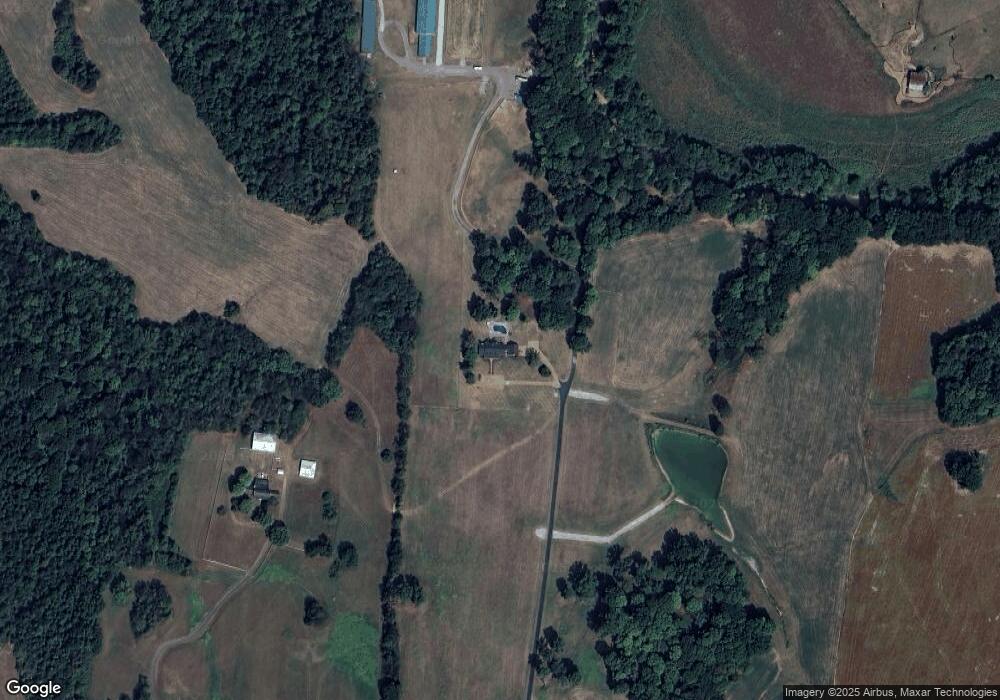
Map
Nearby Homes
- 1 Tom Austin Hwy
- 6241 Highway 49 E
- 5572 Highway 76 E
- 965 Hunters Ln
- 962 Hunters Ln
- 966 Hunters Ln
- 958 Hunters Ln
- 954 Hunters Ln
- 938 Hunters Ln
- 950 Hunters Ln
- 942 Hunters Ln
- 946 Hunters Ln
- 300 Roy Pitt Rd
- 813 5th Ave E
- 703 Hayes St
- 54 Hunters Ln
- 232 Elder Dr
- 805 8th Ave E
- 1055 Mustang Ct
- 1183 Hangar Rd
- 5374 Highway 76 E
- 5434 Highway 76 E
- 5436 Highway 76 E
- 5440 Highway 76 E
- 5431 Highway 76 E
- 5444 Highway 76 E
- 5444 Highway 76e
- 5417 Highway 76 E
- 5423 Highway 76 E
- 0 Highway 76 E Unit 1614627
- 0 Highway 76 E Unit 1688878
- 0 Highway 76 E Unit RTC1900715
- 0 Highway 76 E Unit RTC2500769
- 0 Highway 76 E Unit RTC2500763
- 0 Highway 76 E Unit RTC2477195
- 0 Highway 76 E Unit RTC2477185
- 0 Highway 76 E Unit RTC2477178
- 0 Highway 76 E Unit RTC2308562
- 0 Highway 76 E Unit RTC2305039
- 0 Highway 76 E Unit 2276208
Your Personal Tour Guide
Ask me questions while you tour the home.