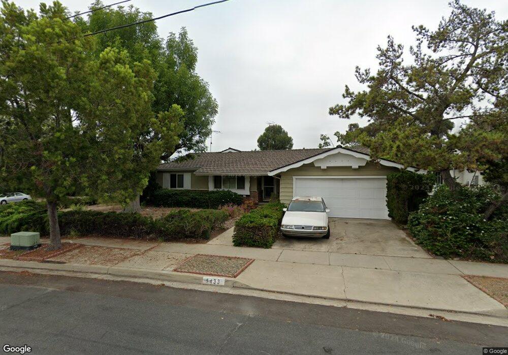
5433 Drover Dr San Diego, CA 92115
College West NeighborhoodEstimated Value: $1,210,327 - $1,347,000
3
Beds
2
Baths
1,939
Sq Ft
$672/Sq Ft
Est. Value
About This Home
This home is located at 5433 Drover Dr, San Diego, CA 92115 and is currently estimated at $1,302,082, approximately $671 per square foot. 5433 Drover Dr is a home located in San Diego County with nearby schools including Hardy Elementary School, Lewis Middle School, and Patrick Henry High School.
Ownership History
Date
Name
Owned For
Owner Type
Purchase Details
Closed on
Dec 20, 2000
Sold by
Weber Raymond F
Bought by
Sappington Michael R and Sappington Anne M
Current Estimated Value
Home Financials for this Owner
Home Financials are based on the most recent Mortgage that was taken out on this home.
Original Mortgage
$300,000
Outstanding Balance
$80,879
Interest Rate
3.95%
Estimated Equity
$1,221,203
Purchase Details
Closed on
Nov 3, 1983
Create a Home Valuation Report for This Property
The Home Valuation Report is an in-depth analysis detailing your home's value as well as a comparison with similar homes in the area
Home Values in the Area
Average Home Value in this Area
Purchase History
| Date | Buyer | Sale Price | Title Company |
|---|---|---|---|
| Sappington Michael R | $376,000 | First American Title | |
| -- | $145,000 | -- |
Source: Public Records
Mortgage History
| Date | Status | Borrower | Loan Amount |
|---|---|---|---|
| Open | Sappington Michael R | $300,000 |
Source: Public Records
Tax History Compared to Growth
Tax History
| Year | Tax Paid | Tax Assessment Tax Assessment Total Assessment is a certain percentage of the fair market value that is determined by local assessors to be the total taxable value of land and additions on the property. | Land | Improvement |
|---|---|---|---|---|
| 2025 | $6,940 | $580,621 | $191,864 | $388,757 |
| 2024 | $6,940 | $569,237 | $188,102 | $381,135 |
| 2023 | $6,785 | $558,076 | $184,414 | $373,662 |
| 2022 | $6,603 | $547,135 | $180,799 | $366,336 |
| 2021 | $6,556 | $536,407 | $177,254 | $359,153 |
| 2020 | $6,476 | $530,908 | $175,437 | $355,471 |
| 2019 | $6,359 | $520,499 | $171,998 | $348,501 |
| 2018 | $5,944 | $510,294 | $168,626 | $341,668 |
| 2017 | $5,801 | $500,289 | $165,320 | $334,969 |
| 2016 | $5,707 | $490,480 | $162,079 | $328,401 |
| 2015 | $5,622 | $483,114 | $159,645 | $323,469 |
| 2014 | $5,532 | $473,651 | $156,518 | $317,133 |
Source: Public Records
Map
Nearby Homes
- 5665 Toyon Rd Unit 27
- 5432 Adobe Falls Rd Unit 12
- 5513 Adobe Falls Rd Unit 11
- 5045 Collwood Way Unit 33
- 4664 Yerba Santa Dr
- 4940 Defiance Way
- 4881 Collwood Blvd Unit A
- 4881 Collwood Blvd Unit B
- 4891 Collwood Blvd Unit B
- 5540 Lindo Paseo Unit 19
- 4931 Lorraine Dr
- 5228 Augustana Place
- 4701 Elsa Rd
- 6057 Delor Ct
- 6182 Loukelton Cir
- 4613 Janet Place
- 4768 Caroline Dr
- 4848 54th St
- 5483 Maisel Way
- 5416 Redland Place