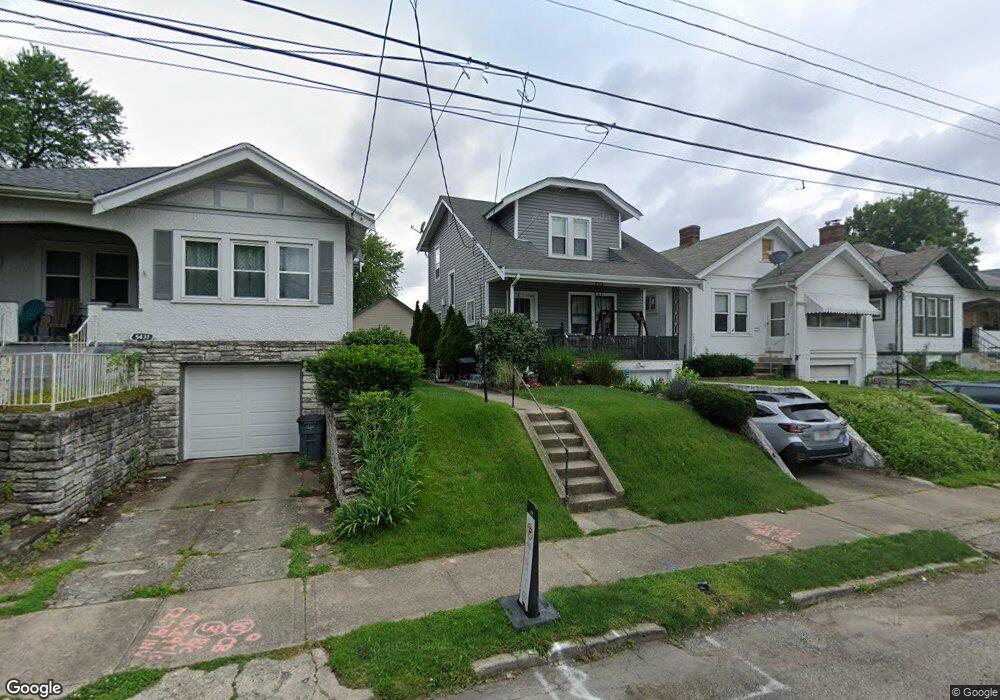
5433 Rolston Ave Cincinnati, OH 45212
Estimated Value: $152,000 - $182,000
2
Beds
1
Bath
1,064
Sq Ft
$155/Sq Ft
Est. Value
About This Home
This home is located at 5433 Rolston Ave, Cincinnati, OH 45212 and is currently estimated at $164,679, approximately $154 per square foot. 5433 Rolston Ave is a home located in Hamilton County with nearby schools including Norwood High School, Summit Academy Community School - Cincinnati, and Horizon Science Academy-Cincinnati.
Ownership History
Date
Name
Owned For
Owner Type
Purchase Details
Closed on
Aug 30, 2005
Sold by
Johnson George Junior and Johnson Syble M
Bought by
Overbeck Mary Beth
Current Estimated Value
Home Financials for this Owner
Home Financials are based on the most recent Mortgage that was taken out on this home.
Original Mortgage
$86,884
Outstanding Balance
$45,564
Interest Rate
5.93%
Mortgage Type
FHA
Estimated Equity
$119,115
Create a Home Valuation Report for This Property
The Home Valuation Report is an in-depth analysis detailing your home's value as well as a comparison with similar homes in the area
Home Values in the Area
Average Home Value in this Area
Purchase History
| Date | Buyer | Sale Price | Title Company |
|---|---|---|---|
| Overbeck Mary Beth | $92,000 | Vintage Title Agency |
Source: Public Records
Mortgage History
| Date | Status | Borrower | Loan Amount |
|---|---|---|---|
| Open | Overbeck Mary Beth | $86,884 |
Source: Public Records
Tax History
| Year | Tax Paid | Tax Assessment Tax Assessment Total Assessment is a certain percentage of the fair market value that is determined by local assessors to be the total taxable value of land and additions on the property. | Land | Improvement |
|---|---|---|---|---|
| 2025 | $2,130 | $41,052 | $9,125 | $31,927 |
| 2023 | $2,124 | $41,052 | $9,125 | $31,927 |
| 2022 | $1,641 | $26,576 | $6,916 | $19,660 |
| 2021 | $1,587 | $26,576 | $6,916 | $19,660 |
| 2020 | $1,592 | $26,576 | $6,916 | $19,660 |
| 2019 | $1,513 | $23,311 | $6,066 | $17,245 |
| 2018 | $1,515 | $23,311 | $6,066 | $17,245 |
| 2017 | $1,433 | $23,311 | $6,066 | $17,245 |
| 2016 | $1,452 | $22,873 | $5,702 | $17,171 |
| 2015 | $1,291 | $22,873 | $5,702 | $17,171 |
| 2014 | $1,292 | $22,873 | $5,702 | $17,171 |
| 2013 | $1,360 | $24,333 | $6,066 | $18,267 |
Source: Public Records
Map
Nearby Homes
- 5405 Carthage Ave
- 2011 Dale Rd
- 1966 Avonlea Ave
- 5336 Globe Ave
- 5314 Section Ave
- 5716 Section Ave
- 5360 Carthage Ave
- 2136 Quatman Ave
- 2119 Cathedral Ave
- 5256 Warren Ave
- 5310 Globe Ave
- 5258 Hunter Ave
- 1958 Catalina Ave
- 1858 Garden Ln
- 5234 Hunter Ave
- 5309 Carthage Ave
- 2150 Drex Ave
- 2206 Varelman Ave
- 5229 Globe Ave
- 2215 Ronda Ave
- 5435 Rolston Ave
- 5431 Rolston Ave
- 5437 Rolston Ave
- 5427 Rolston Ave
- 5439 Rolston Ave
- 5423 Rolston Ave
- 5502 Warren Ave
- 5428 Warren Ave
- 5506 Warren Ave
- 5426 Warren Ave
- 5443 Rolston Ave
- 5421 Rolston Ave
- 5424 Warren Ave
- 5430 Rolston Ave
- 5434 Rolston Ave
- 5428 Rolston Ave
- 5510 Warren Ave
- 5436 Rolston Ave
- 5447 Rolston Ave
- 5419 Rolston Ave
Your Personal Tour Guide
Ask me questions while you tour the home.