Estimated Value: $327,414 - $357,000
3
Beds
2
Baths
1,708
Sq Ft
$198/Sq Ft
Est. Value
About This Home
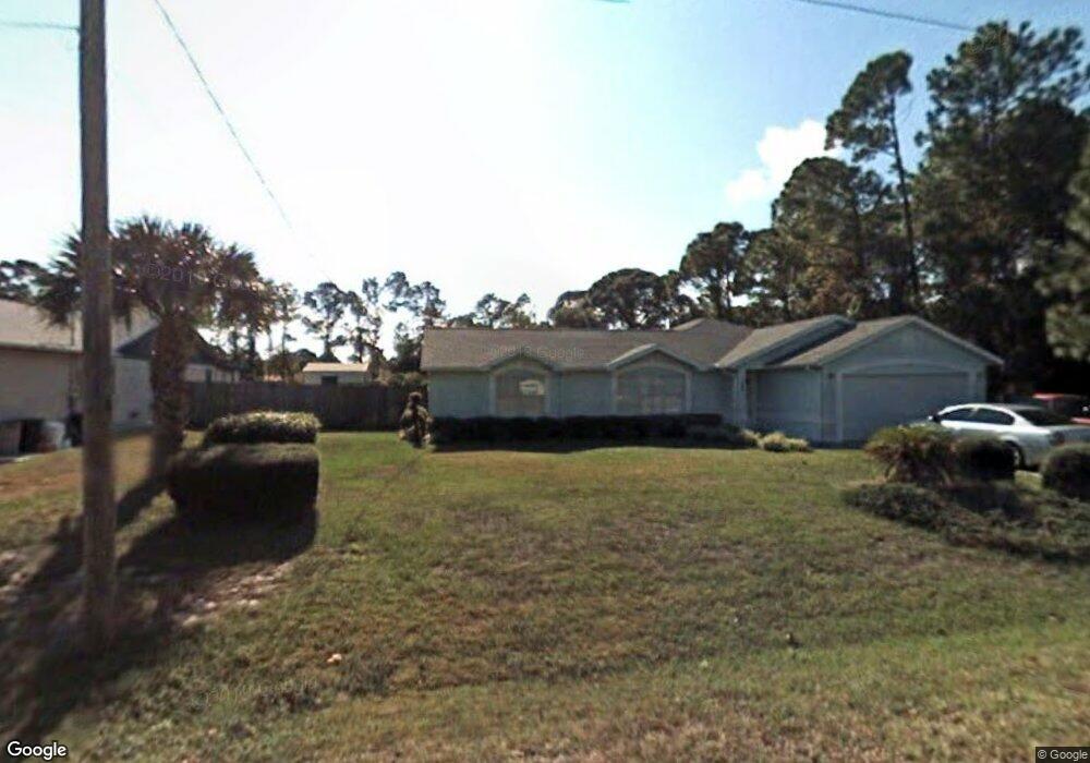
This home is located at 5435 Curtis Blvd, Cocoa, FL 32927 and is currently estimated at $338,604, approximately $198 per square foot. 5435 Curtis Blvd is a home located in Brevard County with nearby schools including Enterprise Elementary School, Space Coast Junior/Senior High School, and Sculptor Charter School.
Ownership History
Date
Name
Owned For
Owner Type
Purchase Details
Closed on
Aug 12, 2022
Sold by
Bonifacio Thomas L and Bonifacio Charlotte
Bought by
Thomas And Charlotte Bonifacio Trust
Current Estimated Value
Purchase Details
Closed on
Mar 13, 2002
Sold by
Bonifacio Sherri R
Bought by
Bonifacio Thomas L
Home Financials for this Owner
Home Financials are based on the most recent Mortgage that was taken out on this home.
Original Mortgage
$77,600
Interest Rate
6.86%
Mortgage Type
New Conventional
Create a Home Valuation Report for This Property
The Home Valuation Report is an in-depth analysis detailing your home's value as well as a comparison with similar homes in the area
Home Values in the Area
Average Home Value in this Area
Purchase History
| Date | Buyer | Sale Price | Title Company |
|---|---|---|---|
| Thomas And Charlotte Bonifacio Trust | $100 | Allender & Allender Pa | |
| Bonifacio Thomas L | -- | -- |
Source: Public Records
Mortgage History
| Date | Status | Borrower | Loan Amount |
|---|---|---|---|
| Previous Owner | Bonifacio Thomas L | $77,600 |
Source: Public Records
Tax History
| Year | Tax Paid | Tax Assessment Tax Assessment Total Assessment is a certain percentage of the fair market value that is determined by local assessors to be the total taxable value of land and additions on the property. | Land | Improvement |
|---|---|---|---|---|
| 2025 | $1,319 | $95,150 | -- | -- |
| 2024 | $1,282 | $92,470 | -- | -- |
| 2023 | $1,282 | $89,780 | $0 | $0 |
| 2022 | $1,194 | $87,170 | $0 | $0 |
| 2021 | $1,186 | $84,640 | $0 | $0 |
| 2020 | $1,121 | $83,480 | $0 | $0 |
| 2019 | $1,056 | $81,610 | $0 | $0 |
| 2018 | $1,046 | $80,090 | $0 | $0 |
| 2017 | $1,035 | $78,450 | $0 | $0 |
| 2016 | $1,031 | $76,840 | $18,000 | $58,840 |
| 2015 | $1,039 | $76,310 | $15,000 | $61,310 |
| 2014 | $1,038 | $75,710 | $11,000 | $64,710 |
Source: Public Records
Map
Nearby Homes
- 6615 Dock Ave
- 6450 Ember Ave
- 6481 La Brea Ave
- 6581 Bancroft Ave
- 6438 Hudson Rd
- 00 Unknown
- 6760 Cairo Rd
- 5680 Banos Ave
- 6815 Bryant Rd
- 5715 Fairbridge St
- 5601 Banos Ave
- 5220 Holden Rd
- 5095 Hogan Place
- 5215 Holden Rd
- 6398 Cable Ave
- 5555 Brandon St
- 6375 Cable Ave
- 7065 Hundred Acre Dr
- 0000 Grissom Pkwy
- 6620 Grissom Pkwy
- 5425 Curtis Blvd
- 5455 Curtis Blvd
- 5415 Curtis Blvd
- 5430 Curtis Blvd
- 5380 Fruitport St
- 5370 Fruitport St
- 5465 Curtis Blvd
- 6555 Dock Ave
- 5360 Fruitport St
- 5405 Curtis Blvd
- 6553 Cedar Ave
- 6564 Cedar Ave
- 5475 Curtis Blvd
- 6565 Dock Ave
- 5350 Fruitport St
- 6565 Cedar Ave
- 5395 Curtis Blvd
- 6576 Cedar Ave
- 5385 Fruitport St
- 6550 Elliott Ave Unit 7
Your Personal Tour Guide
Ask me questions while you tour the home.