5436 Amber Cir Calabasas, CA 91302
Estimated Value: $3,365,593 - $4,047,000
5
Beds
6
Baths
5,050
Sq Ft
$712/Sq Ft
Est. Value
About This Home
This home is located at 5436 Amber Cir, Calabasas, CA 91302 and is currently estimated at $3,596,148, approximately $712 per square foot. 5436 Amber Cir is a home located in Los Angeles County with nearby schools including Round Meadow Elementary School, Arthur E. Wright Middle School, and Calabasas High School.
Ownership History
Date
Name
Owned For
Owner Type
Purchase Details
Closed on
Jan 24, 2011
Sold by
Shaw Richard N and Shaw Hope Freleng
Bought by
Shaw Richard Noel and Shaw Hope Freleng
Current Estimated Value
Purchase Details
Closed on
Jan 21, 1999
Sold by
Nicolai Jack R and Nicolai Nancy K
Bought by
Shaw Richard N and Shaw Hope Freleng
Home Financials for this Owner
Home Financials are based on the most recent Mortgage that was taken out on this home.
Original Mortgage
$600,000
Interest Rate
6.73%
Purchase Details
Closed on
Oct 3, 1996
Sold by
Morrison Entity
Bought by
Nicolai Jack R and Nicolai Nancy K
Home Financials for this Owner
Home Financials are based on the most recent Mortgage that was taken out on this home.
Original Mortgage
$450,000
Interest Rate
7.5%
Create a Home Valuation Report for This Property
The Home Valuation Report is an in-depth analysis detailing your home's value as well as a comparison with similar homes in the area
Home Values in the Area
Average Home Value in this Area
Purchase History
| Date | Buyer | Sale Price | Title Company |
|---|---|---|---|
| Shaw Richard Noel | -- | None Available | |
| Shaw Richard N | $1,100,000 | Progressive Title Company | |
| Nicolai Jack R | $850,000 | Chicago Title Subdivision |
Source: Public Records
Mortgage History
| Date | Status | Borrower | Loan Amount |
|---|---|---|---|
| Previous Owner | Shaw Richard N | $600,000 | |
| Previous Owner | Nicolai Jack R | $450,000 |
Source: Public Records
Tax History Compared to Growth
Tax History
| Year | Tax Paid | Tax Assessment Tax Assessment Total Assessment is a certain percentage of the fair market value that is determined by local assessors to be the total taxable value of land and additions on the property. | Land | Improvement |
|---|---|---|---|---|
| 2025 | $19,430 | $1,724,477 | $628,019 | $1,096,458 |
| 2024 | $19,430 | $1,690,664 | $615,705 | $1,074,959 |
| 2023 | $19,078 | $1,657,515 | $603,633 | $1,053,882 |
| 2022 | $18,488 | $1,625,016 | $591,798 | $1,033,218 |
| 2021 | $18,448 | $1,593,154 | $580,195 | $1,012,959 |
| 2019 | $17,791 | $1,545,902 | $562,987 | $982,915 |
| 2018 | $17,619 | $1,515,592 | $551,949 | $963,643 |
| 2016 | $16,685 | $1,456,742 | $530,517 | $926,225 |
| 2015 | $16,400 | $1,434,862 | $522,549 | $912,313 |
| 2014 | $16,170 | $1,406,756 | $512,313 | $894,443 |
Source: Public Records
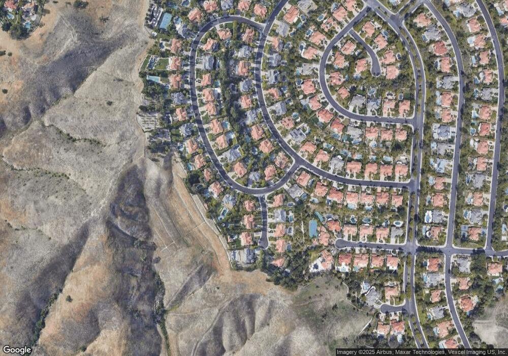
Map
Nearby Homes
- 5451 Newcastle Ln
- 5607 Manley Ct
- 25548 Kingston Ct
- 5416 Wellesley Dr
- 5541 Wellesley Dr
- 5633 Newcastle Ln
- 25505 Hamilton Ct
- 25448 Cumberland Ln
- 25548 Gaylord Ct
- 26004 Adamor Rd
- 26106 Veva Way
- 26134 Roymor Dr
- 26004 Trana Cir
- 25151 Jim Bridger Rd
- 25163 Jim Bridger Rd
- 26144 Kenrose Cir
- 26065 Redbluff Dr
- 26120 Adamor Rd
- 5535 Dixon Trail Rd
- 26320 W Plata Ln
- 5446 Amber Cir
- 5418 Amber Cir
- 5327 Enderby Ct
- 5466 Amber Cir
- 5404 Amber Cir
- 5415 Collingwood Cir
- 5330 Enderby Ct
- 5453 Amber Cir
- 5443 Amber Cir
- 5425 Collingwood Cir
- 5415 Amber Cir
- 5317 Enderby Ct
- 5474 Amber Cir
- 5320 Enderby Ct
- 5405 Amber Cir
- 5463 Amber Cir
- 5471 Amber Cir
- 5435 Collingwood Cir
- 5406 Collingwood Cir
- 5310 Enderby Ct