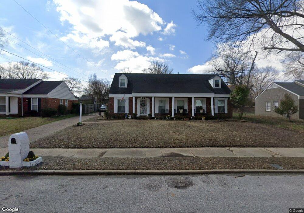
5437 Derron Ave Memphis, TN 38115
Fox Meadows NeighborhoodEstimated Value: $205,000 - $234,000
4
Beds
2
Baths
3,506
Sq Ft
$62/Sq Ft
Est. Value
About This Home
This home is located at 5437 Derron Ave, Memphis, TN 38115 and is currently estimated at $215,855, approximately $61 per square foot. 5437 Derron Ave is a home located in Shelby County with nearby schools including Fox Meadows Elementary School, Wooddale High School, and Cornerstone Prep School.
Ownership History
Date
Name
Owned For
Owner Type
Purchase Details
Closed on
Jan 8, 1997
Sold by
Mewborn Rufus Harry and Mewborn Sherri L
Bought by
Walker Kenneth and Walker Donna C
Current Estimated Value
Home Financials for this Owner
Home Financials are based on the most recent Mortgage that was taken out on this home.
Original Mortgage
$98,700
Outstanding Balance
$9,164
Interest Rate
7.43%
Mortgage Type
FHA
Estimated Equity
$206,691
Purchase Details
Closed on
Sep 30, 1994
Bought by
Mewborn Rufus H
Create a Home Valuation Report for This Property
The Home Valuation Report is an in-depth analysis detailing your home's value as well as a comparison with similar homes in the area
Home Values in the Area
Average Home Value in this Area
Purchase History
| Date | Buyer | Sale Price | Title Company |
|---|---|---|---|
| Walker Kenneth | $98,500 | -- | |
| Walker Kenneth | $98,500 | -- | |
| Mewborn Rufus H | $93,600 | -- |
Source: Public Records
Mortgage History
| Date | Status | Borrower | Loan Amount |
|---|---|---|---|
| Open | Walker Kenneth | $98,700 | |
| Closed | Walker Kenneth | $98,700 |
Source: Public Records
Tax History
| Year | Tax Paid | Tax Assessment Tax Assessment Total Assessment is a certain percentage of the fair market value that is determined by local assessors to be the total taxable value of land and additions on the property. | Land | Improvement |
|---|---|---|---|---|
| 2025 | $1,389 | $59,200 | $5,750 | $53,450 |
| 2024 | $1,389 | $40,975 | $5,000 | $35,975 |
| 2023 | $2,496 | $40,975 | $5,000 | $35,975 |
| 2022 | $2,496 | $40,975 | $5,000 | $35,975 |
| 2021 | $2,525 | $40,975 | $5,000 | $35,975 |
| 2020 | $2,511 | $34,650 | $5,000 | $29,650 |
| 2019 | $2,511 | $34,650 | $5,000 | $29,650 |
| 2018 | $2,511 | $34,650 | $5,000 | $29,650 |
| 2017 | $1,424 | $34,650 | $5,000 | $29,650 |
| 2016 | $1,355 | $31,000 | $0 | $0 |
Source: Public Records
Map
Nearby Homes
- 3021 Elgin Dr
- 3174 Emerald St
- 3218 Thirteen Colony Mall Unit 1A
- 3218 13 Colony Mall Unit 4B
- 5542 Knight Arnold Rd
- 3243 Thirteen Colony Mall Unit 2B
- 3087 Dothan St
- 5345 Scottsdale Ave
- 3150 Castleman St
- 5281 Scottsdale Ave Unit 6
- 3410 Emerald St
- 2849 S Mendenhall Rd
- 2860 Castleman St
- 3406 Cristil St Unit 31
- 5094 Jessie Lee Ln
- 5134 Scottsdale Ave
- 3429 Clarke Rd
- 5064 Knight Arnold Rd
- 2829 Los Gatos Ct Unit 1
- 3016 Croley Dr
Your Personal Tour Guide
Ask me questions while you tour the home.