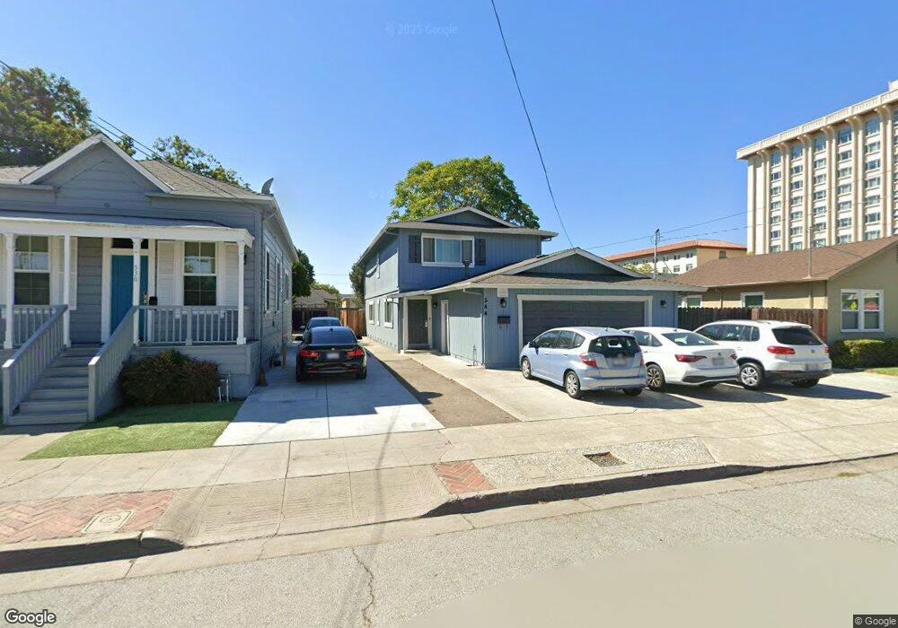
544 Alviso St Santa Clara, CA 95050
Downtown Santa Clara NeighborhoodEstimated Value: $1,748,750 - $2,224,000
3
Beds
3
Baths
2,112
Sq Ft
$941/Sq Ft
Est. Value
About This Home
This home is located at 544 Alviso St, Santa Clara, CA 95050 and is currently estimated at $1,987,688, approximately $941 per square foot. 544 Alviso St is a home located in Santa Clara County with nearby schools including Westwood Elementary School, Buchser Middle School, and Santa Clara High School.
Ownership History
Date
Name
Owned For
Owner Type
Purchase Details
Closed on
Jul 14, 2006
Sold by
Vonraesfeld Donald R
Bought by
The President & Board Of Trustees Of San
Current Estimated Value
Purchase Details
Closed on
Jan 31, 1998
Sold by
Vonraesfeld Donald R and Howell Donna
Bought by
The Von Raesfeld Family Partnership Lp
Purchase Details
Closed on
Feb 23, 1994
Sold by
Vonraesfeld Don and Vonraesfeld Celine
Bought by
Vonraesfeld Donald R and Vonraesfeld Celine C
Create a Home Valuation Report for This Property
The Home Valuation Report is an in-depth analysis detailing your home's value as well as a comparison with similar homes in the area
Home Values in the Area
Average Home Value in this Area
Purchase History
| Date | Buyer | Sale Price | Title Company |
|---|---|---|---|
| The President & Board Of Trustees Of San | $775,000 | First American Title Company | |
| The Von Raesfeld Family Partnership Lp | $350,000 | -- | |
| Howell Donna | -- | -- | |
| Vonraesfeld Donald R | -- | -- | |
| Vonraesfeld Donald R | -- | -- |
Source: Public Records
Tax History Compared to Growth
Tax History
| Year | Tax Paid | Tax Assessment Tax Assessment Total Assessment is a certain percentage of the fair market value that is determined by local assessors to be the total taxable value of land and additions on the property. | Land | Improvement |
|---|---|---|---|---|
| 2025 | $151 | $1,038,321 | $602,897 | $435,424 |
| 2024 | $151 | $1,017,963 | $591,076 | $426,887 |
| 2023 | $148 | $998,004 | $579,487 | $418,517 |
| 2022 | $162 | $978,436 | $568,125 | $410,311 |
| 2021 | $165 | $959,252 | $556,986 | $402,266 |
| 2020 | $147 | $949,417 | $551,275 | $398,142 |
| 2019 | $152 | $930,802 | $540,466 | $390,336 |
| 2018 | $150 | $912,552 | $529,869 | $382,683 |
| 2017 | $165 | $894,660 | $519,480 | $375,180 |
| 2016 | $267 | $877,119 | $509,295 | $367,824 |
| 2015 | $239 | $863,944 | $501,645 | $362,299 |
| 2014 | $246 | $847,022 | $491,819 | $355,203 |
Source: Public Records
Map
Nearby Homes
- 2760 Park Ave
- 645 Jackson St
- 177 Monroe St Unit 8
- 783 Park Ct
- 2201 The Alameda Unit 22
- 1048 Monroe St Unit 218
- 2012 Heatherdale Ave
- 1128 Morse St
- 1239 Harrison St
- 1694 Homestead Rd
- 2373 Newhall St
- 1830 Heatherdale Ave
- 1461 Main St Unit 1
- 476 N Winchester Blvd Unit 103
- 1549 Pratt Place
- 1372 Davis St
- 1154 Civic Center Dr
- 2461 Boxwood Dr
- 907 Rancho Place
- 2214 Peachtree Ln