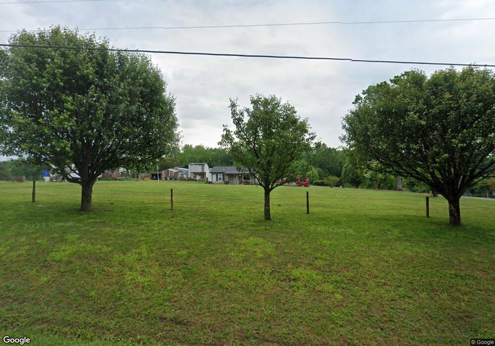
544 Barrett Rd McMinnville, TN 37110
Cannon County NeighborhoodEstimated Value: $177,502 - $383,000
--
Bed
1
Bath
960
Sq Ft
$262/Sq Ft
Est. Value
About This Home
This home is located at 544 Barrett Rd, McMinnville, TN 37110 and is currently estimated at $251,126, approximately $261 per square foot. 544 Barrett Rd is a home located in Cannon County with nearby schools including Cannon County High School.
Ownership History
Date
Name
Owned For
Owner Type
Purchase Details
Closed on
Apr 10, 1993
Bought by
Everett Ronald and Everett Wilma
Current Estimated Value
Purchase Details
Closed on
Apr 9, 1993
Bought by
Prater Mickey Duane
Purchase Details
Closed on
May 9, 1988
Bought by
Prater Mickey Duane and Mary Ann
Purchase Details
Closed on
Oct 30, 1987
Bought by
Prater Mickey Duane and Mary Ann
Purchase Details
Closed on
Jan 2, 1985
Purchase Details
Closed on
Jul 15, 1980
Bought by
Gunter Jerry and Gunter Sheila
Create a Home Valuation Report for This Property
The Home Valuation Report is an in-depth analysis detailing your home's value as well as a comparison with similar homes in the area
Home Values in the Area
Average Home Value in this Area
Purchase History
| Date | Buyer | Sale Price | Title Company |
|---|---|---|---|
| Everett Ronald | $37,000 | -- | |
| Prater Mickey Duane | -- | -- | |
| Prater Mickey Duane | $30,000 | -- | |
| Prater Mickey Duane | -- | -- | |
| -- | $10,000 | -- | |
| Gunter Jerry | -- | -- |
Source: Public Records
Tax History Compared to Growth
Tax History
| Year | Tax Paid | Tax Assessment Tax Assessment Total Assessment is a certain percentage of the fair market value that is determined by local assessors to be the total taxable value of land and additions on the property. | Land | Improvement |
|---|---|---|---|---|
| 2025 | $585 | $36,625 | $0 | $0 |
| 2024 | $585 | $36,625 | $12,225 | $24,400 |
| 2023 | $558 | $36,625 | $12,225 | $24,400 |
| 2022 | $482 | $19,575 | $4,375 | $15,200 |
| 2021 | $482 | $19,575 | $4,375 | $15,200 |
| 2020 | $482 | $19,575 | $4,375 | $15,200 |
| 2019 | $482 | $19,575 | $4,375 | $15,200 |
| 2018 | $467 | $19,575 | $4,375 | $15,200 |
| 2017 | $482 | $16,675 | $5,000 | $11,675 |
| 2016 | $459 | $16,675 | $5,000 | $11,675 |
| 2015 | $422 | $16,675 | $5,000 | $11,675 |
| 2014 | $422 | $16,675 | $5,000 | $11,675 |
Source: Public Records
Map
Nearby Homes
- 656 Osement Rd
- 4791 Short Mountain Rd
- 0 Short Mountain Rd Unit RTC2938730
- 0 Short Mountain Rd Unit RTC2936770
- 3880 Short Mountain Rd
- 6907 Short Mountain Rd
- 63 Sneed Rd
- 60 Sneed Rd
- 134 Joe Blanton Rd
- 4006 Stones River Rd
- 65 Joe Blanton Rd
- 957 Campbell Rd
- 1446 Center Hill Rd
- 388 Villa St
- 235 Villa St
- 0 Pea Ridge Rd
- 2051 Merry Oaks Rd
- 1 Banks Pisgah Rd
- 273 Ivy Point Ln
- 9484 Lucky Rd
- 588 Barrett Rd
- 418 Barrett Rd
- 437 Barrett Rd
- 647 Barrett Rd
- 708 Barrett Rd
- 0 Barrett Rd
- 804 Barrett Rd
- 306 Crimson Tide Ln
- 981 Will Daniel Rd
- 1850 Blue Hill Rd
- 0 Blue Hill Rd
- 1072 Will Daniel Rd
- 1839 Blue Hill Rd
- 813 Will Daniel Rd
- 1170 Will Daniel Rd
- 861 Will Daniel Rd
- 1189 Blue Hill Rd
- 1189 Blue Hill Rd
- 1991 Blue Hill Rd
- 1308 Will Daniel Rd
