544 Brooklawn Dr Banning, CA 92220
Estimated Value: $367,000 - $389,000
2
Beds
2
Baths
1,458
Sq Ft
$257/Sq Ft
Est. Value
About This Home
This home is located at 544 Brooklawn Dr, Banning, CA 92220 and is currently estimated at $374,525, approximately $256 per square foot. 544 Brooklawn Dr is a home located in Riverside County with nearby schools including Banning High School, Highland Academy, and Pass Christian School.
Ownership History
Date
Name
Owned For
Owner Type
Purchase Details
Closed on
Mar 1, 2002
Sold by
Pulte Home Corp
Bought by
Peterson Jerry R and Peterson Colene A
Current Estimated Value
Home Financials for this Owner
Home Financials are based on the most recent Mortgage that was taken out on this home.
Original Mortgage
$140,000
Outstanding Balance
$58,193
Interest Rate
6.99%
Estimated Equity
$316,332
Create a Home Valuation Report for This Property
The Home Valuation Report is an in-depth analysis detailing your home's value as well as a comparison with similar homes in the area
Home Values in the Area
Average Home Value in this Area
Purchase History
| Date | Buyer | Sale Price | Title Company |
|---|---|---|---|
| Peterson Jerry R | $160,000 | Chicago Title |
Source: Public Records
Mortgage History
| Date | Status | Borrower | Loan Amount |
|---|---|---|---|
| Open | Peterson Jerry R | $140,000 |
Source: Public Records
Tax History Compared to Growth
Tax History
| Year | Tax Paid | Tax Assessment Tax Assessment Total Assessment is a certain percentage of the fair market value that is determined by local assessors to be the total taxable value of land and additions on the property. | Land | Improvement |
|---|---|---|---|---|
| 2025 | $3,128 | $234,860 | $88,621 | $146,239 |
| 2023 | $3,128 | $225,742 | $85,181 | $140,561 |
| 2022 | $3,058 | $221,316 | $83,511 | $137,805 |
| 2021 | $2,997 | $216,977 | $81,874 | $135,103 |
| 2020 | $2,970 | $214,753 | $81,035 | $133,718 |
| 2019 | $2,922 | $210,544 | $79,447 | $131,097 |
| 2018 | $2,901 | $206,417 | $77,891 | $128,526 |
| 2017 | $2,852 | $202,370 | $76,364 | $126,006 |
| 2016 | $2,711 | $198,403 | $74,867 | $123,536 |
| 2015 | $2,671 | $195,425 | $73,744 | $121,681 |
| 2014 | $2,652 | $191,599 | $72,300 | $119,299 |
Source: Public Records
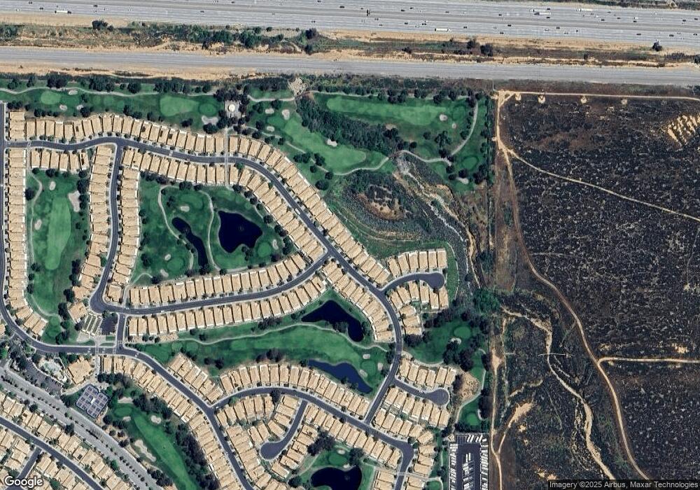
Map
Nearby Homes
- 440 Brooklawn Dr
- 4767 Salem Cir
- 4824 Oakhurst Ave
- 5089 Oakhurst Ave
- 689 Twin Hills Dr
- 840 Twin Hills Dr
- 322 Brooklawn Dr
- 4780 W Ramsey St
- 5366 C St
- 5388 C St
- 5204 Riviera Ave
- 5242 C St
- 5302 C St
- 518 S Seminole Cir
- 4851 Bermuda Dunes Ave
- 4841 Bermuda Dunes Ave
- 5609 Riviera Ave
- 98 Lori Way
- 477 S Maidstone St
- 4829 W Forest Oaks Ave
- 526 Brooklawn Dr
- 556 Brooklawn Dr
- 520 Brooklawn Dr
- 572 Brooklawn Dr
- 588 Brooklawn Dr
- 512 Brooklawn Dr
- 555 Brooklawn Dr
- 567 Brooklawn Dr
- 525 Brooklawn Dr
- 579 Brooklawn Dr
- 506 Brooklawn Dr
- 519 Brooklawn Dr
- 602 Brooklawn Dr
- 591 Brooklawn Dr
- 513 Brooklawn Dr
- 502 Brooklawn Dr
- 4809 Rolling Hills Ave
- 4766 Skyview Cir
- 612 Brooklawn Dr
- 603 Brooklawn Dr