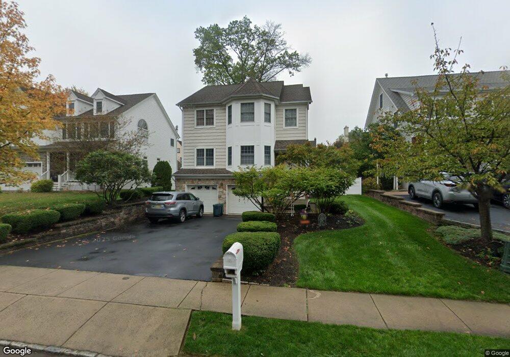
544 Codding Rd Westfield, NJ 07090
Estimated Value: $1,247,000 - $1,591,000
--
Bed
--
Bath
2,932
Sq Ft
$492/Sq Ft
Est. Value
About This Home
This home is located at 544 Codding Rd, Westfield, NJ 07090 and is currently estimated at $1,442,671, approximately $492 per square foot. 544 Codding Rd is a home located in Union County with nearby schools including McKinley Elementary School, Edison Intermediate School, and Westfield Senior High School.
Ownership History
Date
Name
Owned For
Owner Type
Purchase Details
Closed on
Jul 15, 2009
Sold by
Abate James A and Abate Margarita M
Bought by
Leavitt Benjamin G and Leavitt Gayle S
Current Estimated Value
Home Financials for this Owner
Home Financials are based on the most recent Mortgage that was taken out on this home.
Original Mortgage
$417,000
Outstanding Balance
$275,871
Interest Rate
5.58%
Mortgage Type
Purchase Money Mortgage
Estimated Equity
$1,166,800
Purchase Details
Closed on
Nov 26, 2003
Sold by
Mm Real Estate Dev Inc
Bought by
Abate James and Abate Margarita
Home Financials for this Owner
Home Financials are based on the most recent Mortgage that was taken out on this home.
Original Mortgage
$577,438
Interest Rate
5.96%
Create a Home Valuation Report for This Property
The Home Valuation Report is an in-depth analysis detailing your home's value as well as a comparison with similar homes in the area
Home Values in the Area
Average Home Value in this Area
Purchase History
| Date | Buyer | Sale Price | Title Company |
|---|---|---|---|
| Leavitt Benjamin G | $785,000 | None Available | |
| Abate James | $697,900 | -- |
Source: Public Records
Mortgage History
| Date | Status | Borrower | Loan Amount |
|---|---|---|---|
| Open | Leavitt Benjamin G | $417,000 | |
| Previous Owner | Abate James | $577,438 |
Source: Public Records
Tax History Compared to Growth
Tax History
| Year | Tax Paid | Tax Assessment Tax Assessment Total Assessment is a certain percentage of the fair market value that is determined by local assessors to be the total taxable value of land and additions on the property. | Land | Improvement |
|---|---|---|---|---|
| 2025 | $19,764 | $877,600 | $384,700 | $492,900 |
| 2024 | $19,360 | $877,600 | $384,700 | $492,900 |
| 2023 | $19,360 | $877,600 | $384,700 | $492,900 |
| 2022 | $18,643 | $863,100 | $384,700 | $478,400 |
| 2021 | $18,669 | $863,100 | $384,700 | $478,400 |
| 2020 | $18,626 | $863,100 | $384,700 | $478,400 |
| 2019 | $18,557 | $863,100 | $384,700 | $478,400 |
| 2018 | $18,362 | $197,500 | $54,600 | $142,900 |
| 2017 | $18,261 | $197,500 | $54,600 | $142,900 |
| 2016 | $17,832 | $197,500 | $54,600 | $142,900 |
| 2015 | $17,477 | $197,500 | $54,600 | $142,900 |
| 2014 | $16,900 | $197,500 | $54,600 | $142,900 |
Source: Public Records
Map
Nearby Homes
- 525 Edgar Rd
- 524 Edgar Rd
- 614 Dorian Rd
- 538 Westfield Ave
- 724 South Ave W Unit 724A
- 554 Hort St
- 119 Lamberts Mill Rd
- 522 Boulevard
- 1466 Lamberts Mill Rd
- 2154 W Broad St
- 215 Ross Place Unit J
- 203 Ross Place
- 350 W Dudley Ave
- 603 Carleton Rd
- 260 Prospect St Unit C15
- 303 Prospect St
- 517 Clark St
- 779 Lamberts Mill Rd
- 676 Vermont St
- 814 Summit Ave