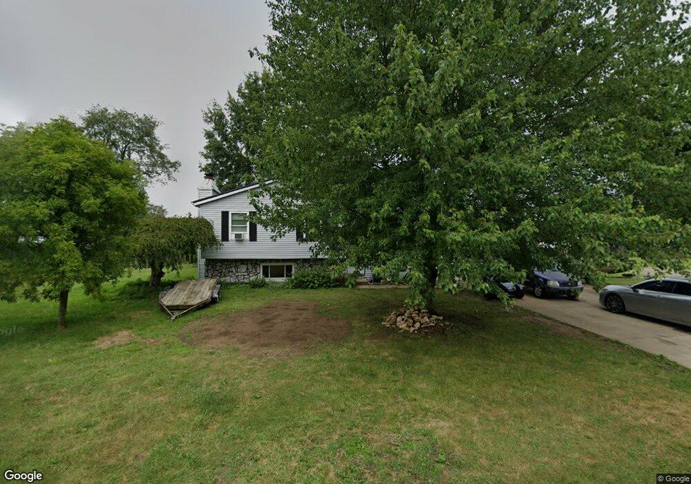
544 Goosepond Rd Newark, OH 43055
Estimated Value: $291,000 - $312,699
4
Beds
2
Baths
1,588
Sq Ft
$192/Sq Ft
Est. Value
About This Home
This home is located at 544 Goosepond Rd, Newark, OH 43055 and is currently estimated at $305,425, approximately $192 per square foot. 544 Goosepond Rd is a home located in Licking County with nearby schools including Legend Elementary School, Liberty Middle School, and Newark High School.
Ownership History
Date
Name
Owned For
Owner Type
Purchase Details
Closed on
May 6, 2021
Sold by
Fischer Patricia L and Hill Patricia
Bought by
Fischer Cheryl A and The Fischer Preservation Trust
Current Estimated Value
Purchase Details
Closed on
Jun 25, 1996
Sold by
Clark Walter E
Bought by
Hill Matthew R and Fischer Patricia L
Home Financials for this Owner
Home Financials are based on the most recent Mortgage that was taken out on this home.
Original Mortgage
$121,125
Outstanding Balance
$8,796
Interest Rate
8.29%
Mortgage Type
New Conventional
Estimated Equity
$296,629
Create a Home Valuation Report for This Property
The Home Valuation Report is an in-depth analysis detailing your home's value as well as a comparison with similar homes in the area
Home Values in the Area
Average Home Value in this Area
Purchase History
| Date | Buyer | Sale Price | Title Company |
|---|---|---|---|
| Fischer Cheryl A | -- | None Available | |
| Hill Matthew R | $127,500 | -- |
Source: Public Records
Mortgage History
| Date | Status | Borrower | Loan Amount |
|---|---|---|---|
| Open | Hill Matthew R | $121,125 |
Source: Public Records
Tax History Compared to Growth
Tax History
| Year | Tax Paid | Tax Assessment Tax Assessment Total Assessment is a certain percentage of the fair market value that is determined by local assessors to be the total taxable value of land and additions on the property. | Land | Improvement |
|---|---|---|---|---|
| 2024 | $2,783 | $77,850 | $23,910 | $53,940 |
| 2023 | $2,778 | $77,850 | $23,910 | $53,940 |
| 2022 | $2,397 | $55,940 | $14,320 | $41,620 |
| 2021 | $2,352 | $55,940 | $14,320 | $41,620 |
| 2020 | $2,408 | $55,940 | $14,320 | $41,620 |
| 2019 | $2,082 | $46,630 | $11,940 | $34,690 |
| 2018 | $2,084 | $0 | $0 | $0 |
| 2017 | $2,099 | $0 | $0 | $0 |
| 2016 | $2,155 | $0 | $0 | $0 |
| 2015 | $2,202 | $0 | $0 | $0 |
| 2014 | $2,821 | $0 | $0 | $0 |
| 2013 | $2,083 | $0 | $0 | $0 |
Source: Public Records
Map
Nearby Homes
- 1518 Constitution Ct
- 1495 Kenarbre Dr
- 1684 Churchill Downs Rd
- 505 Courtney Dr
- 734 Whitetail Loop
- 267 Goosepond Rd Unit A
- 763 Whitetail Loop
- 259 Goosepond Rd Unit C
- 752 Whitetail Loop
- 750 Whitetail Loop
- 261 Goosepond Rd Unit D
- 336 Myrtle Ave
- 1345 Sherwood Downs Rd W
- 139 Aqueduct Ave
- 1831 Churchill Downs Rd
- 681 Woods Edge Ln
- 106 Santa Anita Ave Unit 21A
- 105 Pimlico Ave
- 1738 Scioto Way
- 714 Olde Creek Dr
- 1509 Independence Dr
- 555 Goosepond Rd
- 545 Goosepond Rd
- 1517 Independence Dr
- 526 Goosepond Rd
- 565 Goosepond Rd
- 1514 Independence Dr
- 525 Goose Pond Rd
- 1529 Jamestown Ct
- 525 Goosepond Rd
- 1475 Independence Ct
- 516 Goosepond Rd
- 1522 Independence Dr
- 515 Goosepond Rd
- 1537 Jamestown Ct
- 1474 Independence Ct
- 508 Goosepond Rd
- 1465 Independence Ct
- 1542 Jamestown Ct
- 1541 Independence Dr