Estimated Value: $235,807 - $244,000
3
Beds
2
Baths
1,650
Sq Ft
$146/Sq Ft
Est. Value
About This Home
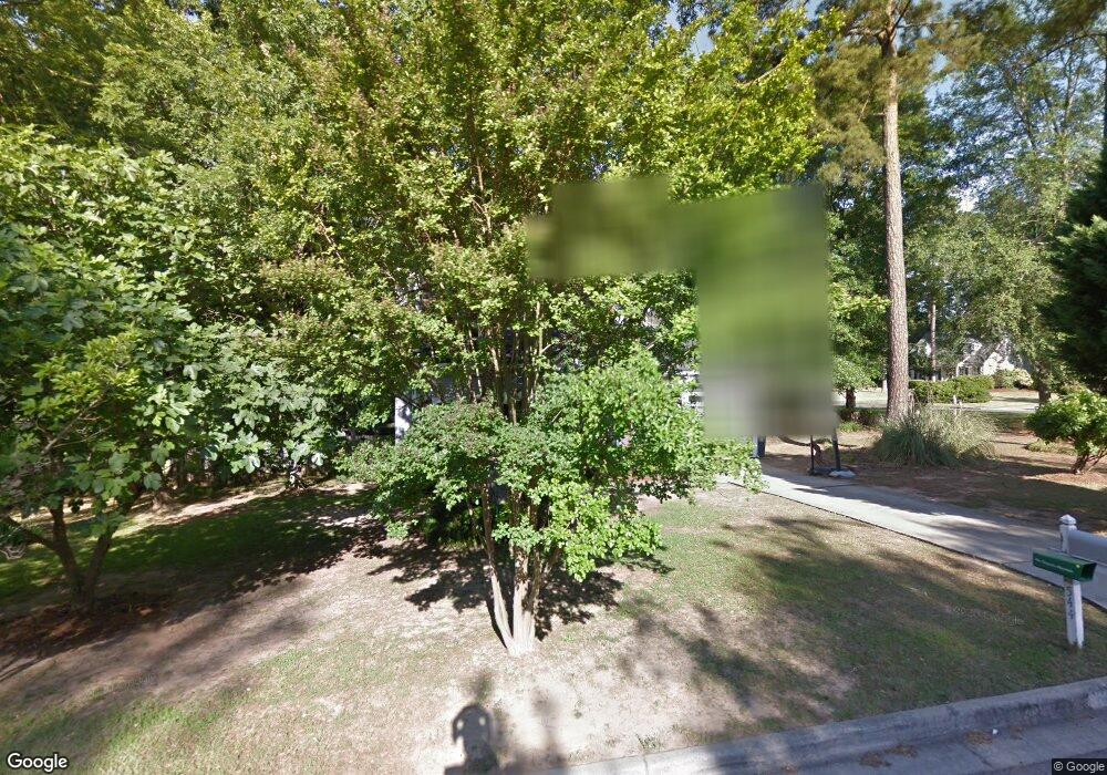
This home is located at 544 Hunterdale Rd, Evans, GA 30809 and is currently estimated at $240,202, approximately $145 per square foot. 544 Hunterdale Rd is a home located in Columbia County with nearby schools including Northmore Elementary School, Lincoln Elementary School, and Blue Ridge Elementary School.
Ownership History
Date
Name
Owned For
Owner Type
Purchase Details
Closed on
Feb 12, 2003
Sold by
Wyland Lisa Marie
Bought by
Asselin Margaret A
Current Estimated Value
Home Financials for this Owner
Home Financials are based on the most recent Mortgage that was taken out on this home.
Original Mortgage
$109,725
Outstanding Balance
$46,366
Interest Rate
5.89%
Estimated Equity
$193,836
Create a Home Valuation Report for This Property
The Home Valuation Report is an in-depth analysis detailing your home's value as well as a comparison with similar homes in the area
Home Values in the Area
Average Home Value in this Area
Purchase History
| Date | Buyer | Sale Price | Title Company |
|---|---|---|---|
| Asselin Margaret A | $115,500 | -- |
Source: Public Records
Mortgage History
| Date | Status | Borrower | Loan Amount |
|---|---|---|---|
| Open | Asselin Margaret A | $109,725 |
Source: Public Records
Tax History Compared to Growth
Tax History
| Year | Tax Paid | Tax Assessment Tax Assessment Total Assessment is a certain percentage of the fair market value that is determined by local assessors to be the total taxable value of land and additions on the property. | Land | Improvement |
|---|---|---|---|---|
| 2025 | $2,281 | $93,165 | $20,304 | $72,861 |
| 2024 | $2,311 | $90,130 | $19,004 | $71,126 |
| 2023 | $2,311 | $84,354 | $17,604 | $66,750 |
| 2022 | $1,985 | $74,135 | $14,804 | $59,331 |
| 2021 | $1,775 | $63,132 | $13,804 | $49,328 |
| 2020 | $1,711 | $59,518 | $13,004 | $46,514 |
| 2019 | $1,751 | $60,960 | $12,404 | $48,556 |
| 2018 | $1,552 | $53,590 | $12,104 | $41,486 |
| 2017 | $1,617 | $55,736 | $11,204 | $44,532 |
| 2016 | $1,461 | $51,993 | $10,480 | $41,513 |
| 2015 | $1,409 | $49,990 | $9,980 | $40,010 |
| 2014 | $1,352 | $47,277 | $9,780 | $37,497 |
Source: Public Records
Map
Nearby Homes
- 4209 Fairfield Cir
- 0 Commons Dr
- 598 Bradford Ln
- 4190 Litchfield Ln
- 4157 Arlington Rd
- 579 Litchfield Ct
- 593 Blue Ridge Crossing
- 418 Santa Anna Trail
- 358 Sumac Trail
- 368 Sumac Trail
- 333 Sumac Trail
- 155 Canton Park Ave
- 4116 Dunes Dr
- 516 McKinnes Park
- 1009 Barrett Dr
- 4063 Danielle Dr
- 652 King Taylor Rd
- 323 Connor Cir
- 4069 Riverwatch Pkwy
- 317 Connor Cir
- 4196 Fairfield Cir
- 542 Hunterdale Rd
- 543 Hunterdale Rd
- 541 Hunterdale Rd
- 541 Huntedale Rd
- 540 Hunterdale Rd
- 543 Fairfield Way
- 4193 Fairfield Cir
- 541 Fairfield Way
- 545 Hunterdale Rd
- 539 Hunterdale Rd
- 4195 Fairfield Cir
- 547 Hunterdale Rd
- 539 Fairfield Way
- 538 Hunterdale Rd
- 547 Fairfield Way
- 537 Hunterdale Rd
- 550 Hunterdale Rd
- 549 Hunterdale Rd
- 537 Fairfield Way