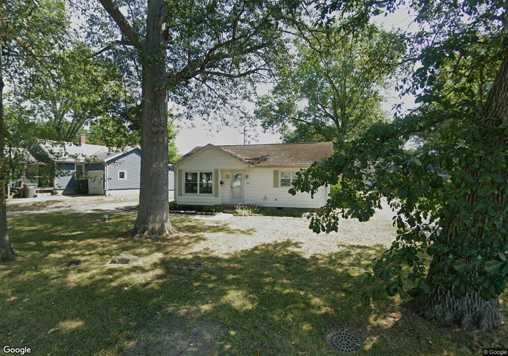
544 N Dale Dr Lima, OH 45805
Westgate NeighborhoodEstimated Value: $105,000 - $143,000
2
Beds
1
Bath
884
Sq Ft
$141/Sq Ft
Est. Value
About This Home
This home is located at 544 N Dale Dr, Lima, OH 45805 and is currently estimated at $124,855, approximately $141 per square foot. 544 N Dale Dr is a home located in Allen County with nearby schools including Heritage Elementary School, Lima West Middle School, and Lima North Middle School.
Ownership History
Date
Name
Owned For
Owner Type
Purchase Details
Closed on
Nov 20, 2018
Sold by
Fisher Wilbur and Fisher Loretta
Bought by
Lorwil Land Llc
Current Estimated Value
Purchase Details
Closed on
Nov 23, 2009
Sold by
Fisher Investment Property Inc
Bought by
Fisher Wilbur D and Fisher Loretta L
Purchase Details
Closed on
Nov 6, 2009
Sold by
Adams Harvey W
Bought by
Fisher Investment Property Inc
Purchase Details
Closed on
Aug 27, 1997
Sold by
Sherrick Nettiemae
Bought by
Coe Carolyn
Home Financials for this Owner
Home Financials are based on the most recent Mortgage that was taken out on this home.
Original Mortgage
$33,200
Interest Rate
7.57%
Mortgage Type
New Conventional
Purchase Details
Closed on
Oct 31, 1988
Bought by
Sherrick Nettiemae
Create a Home Valuation Report for This Property
The Home Valuation Report is an in-depth analysis detailing your home's value as well as a comparison with similar homes in the area
Home Values in the Area
Average Home Value in this Area
Purchase History
| Date | Buyer | Sale Price | Title Company |
|---|---|---|---|
| Lorwil Land Llc | -- | None Available | |
| Fisher Wilbur D | $30,000 | Attorney | |
| Fisher Investment Property Inc | $23,000 | Attorney | |
| Coe Carolyn | $41,500 | -- | |
| Sherrick Nettiemae | $35,000 | -- |
Source: Public Records
Mortgage History
| Date | Status | Borrower | Loan Amount |
|---|---|---|---|
| Previous Owner | Coe Carolyn | $33,200 |
Source: Public Records
Tax History Compared to Growth
Tax History
| Year | Tax Paid | Tax Assessment Tax Assessment Total Assessment is a certain percentage of the fair market value that is determined by local assessors to be the total taxable value of land and additions on the property. | Land | Improvement |
|---|---|---|---|---|
| 2024 | $1,070 | $28,390 | $6,060 | $22,330 |
| 2023 | $956 | $21,850 | $4,660 | $17,190 |
| 2022 | $960 | $21,850 | $4,660 | $17,190 |
| 2021 | $1,015 | $21,850 | $4,660 | $17,190 |
| 2020 | $941 | $17,890 | $4,450 | $13,440 |
| 2019 | $941 | $17,890 | $4,450 | $13,440 |
| 2018 | $927 | $17,890 | $4,450 | $13,440 |
| 2017 | $945 | $17,890 | $4,450 | $13,440 |
| 2016 | $952 | $17,890 | $4,450 | $13,440 |
| 2015 | $984 | $17,890 | $4,450 | $13,440 |
| 2014 | $984 | $18,340 | $4,410 | $13,930 |
| 2013 | $959 | $18,340 | $4,410 | $13,930 |
Source: Public Records
Map
Nearby Homes
- 2100 University Blvd
- 1753 Leland Ave
- 514 N Cable Rd
- 1719 Latham Ave
- 918 Cornell Dr
- 209 N Dale Dr
- 621 Fairfield Dr
- 858 Mackenzie Dr
- 109 N Pears Ave
- 2050 W Market St
- 1630 W Market St
- 1517 Allentown Rd
- 1912 Hillcrest Dr
- 391 N Fernwood Dr
- 234 S Westwood Dr
- 1459 W Market St
- 102 Charwood Dr
- 120 S Woodlawn Ave
- 1113 Crestwood Dr
- 1206 Rice Ave
- 550 N
- 550 N Dale Dr
- 1737 Allentown Rd
- 506 N Dale Dr
- 507 N Dale Dr
- 1747 Allentown Rd
- 511 N Dale Dr
- 505 N Dale Dr
- 501 N Dale Dr
- 1741 Allentown Rd
- 515 N Dale Dr
- 517 N Dale Dr
- 1920 University Blvd
- 1801 Allentown Rd
- 1918 University Blvd
- 2000 University Blvd
- 1836 University Blvd
- 1914 University Blvd
- 1811 Allentown Rd