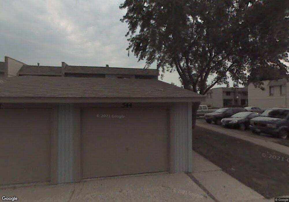
544 Pheasant Ct Unit 2 Grayslake, IL 60030
Estimated Value: $195,000 - $215,000
3
Beds
3
Baths
1,395
Sq Ft
$147/Sq Ft
Est. Value
About This Home
This home is located at 544 Pheasant Ct Unit 2, Grayslake, IL 60030 and is currently estimated at $205,083, approximately $147 per square foot. 544 Pheasant Ct Unit 2 is a home located in Lake County with nearby schools including Frederick School, Woodview School, and Grayslake Middle School.
Ownership History
Date
Name
Owned For
Owner Type
Purchase Details
Closed on
Mar 26, 1996
Sold by
Parrilli Dellamarie
Bought by
Meyer Karl W
Current Estimated Value
Home Financials for this Owner
Home Financials are based on the most recent Mortgage that was taken out on this home.
Original Mortgage
$88,190
Outstanding Balance
$4,005
Interest Rate
6.98%
Mortgage Type
FHA
Estimated Equity
$201,078
Purchase Details
Closed on
Dec 15, 1995
Sold by
Parrilli Susan L and Parrilli Delamarie
Bought by
Parrilli Dellamarie
Create a Home Valuation Report for This Property
The Home Valuation Report is an in-depth analysis detailing your home's value as well as a comparison with similar homes in the area
Home Values in the Area
Average Home Value in this Area
Purchase History
| Date | Buyer | Sale Price | Title Company |
|---|---|---|---|
| Meyer Karl W | $92,500 | Chicago Title Insurance Co | |
| Parrilli Dellamarie | -- | Chicago Title Insurance Co |
Source: Public Records
Mortgage History
| Date | Status | Borrower | Loan Amount |
|---|---|---|---|
| Open | Meyer Karl W | $88,190 |
Source: Public Records
Tax History Compared to Growth
Tax History
| Year | Tax Paid | Tax Assessment Tax Assessment Total Assessment is a certain percentage of the fair market value that is determined by local assessors to be the total taxable value of land and additions on the property. | Land | Improvement |
|---|---|---|---|---|
| 2024 | $3,884 | $53,403 | $3,638 | $49,765 |
| 2023 | $4,892 | $49,012 | $3,339 | $45,673 |
| 2022 | $4,892 | $46,784 | $6,491 | $40,293 |
| 2021 | $4,670 | $43,754 | $6,240 | $37,514 |
| 2020 | $4,648 | $41,631 | $5,937 | $35,694 |
| 2019 | $4,475 | $39,941 | $5,696 | $34,245 |
| 2018 | $2,884 | $27,932 | $4,201 | $23,731 |
| 2017 | $2,818 | $26,274 | $3,952 | $22,322 |
| 2016 | $2,655 | $24,254 | $3,648 | $20,606 |
| 2015 | $2,526 | $22,158 | $3,333 | $18,825 |
| 2014 | $3,073 | $25,395 | $3,244 | $22,151 |
| 2012 | $3,077 | $26,522 | $3,388 | $23,134 |
Source: Public Records
Map
Nearby Homes
- 633 Dove Ct Unit 4
- 618 Barron Blvd
- 399 Banbury Ln
- 268 Normandy Ln
- 355 Buckingham Dr
- 707 Crossland Dr
- 20295 W Washington St
- 1109 Blackburn Dr
- 873 Essex Cir
- 146 Westerfield Place
- 872 Tylerton Cir
- 11 S Lake St
- 121 Park Ave
- 230 Burton St Unit 2
- 1045 Manchester Cir
- 101 Burton St
- 219 Galway St
- 21238 W Washington St
- 739 Alleghany Rd
- 337 Woodland Dr Unit 6
- 542 Pheasant Ct
- 540 Pheasant Ct
- 538 Pheasant Ct
- 536 Pheasant Ct
- 534 Pheasant Ct
- 556 Pheasant Ct
- 556 Pheasant Ct Unit 9
- 532 Pheasant Ct
- 543 Chard Ct
- 545 Pheasant Ct
- 541 Chard Ct
- 545 Chard Ct Unit 2
- 530 Pheasant Ct Unit 2
- 558 Pheasant Ct
- 543 Pheasant Ct
- 539 Chard Ct Unit 2
- 541 Pheasant Ct
- 537 Chard Ct
- 560 Pheasant Ct
- 528 Pheasant Ct Unit 2