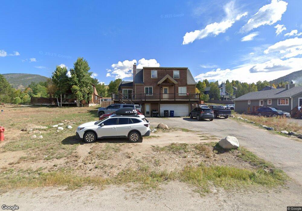
544 Summit Dr Dillon, CO 80435
Keystone NeighborhoodEstimated Value: $1,190,414 - $1,410,000
5
Beds
4
Baths
1,767
Sq Ft
$726/Sq Ft
Est. Value
About This Home
This home is located at 544 Summit Dr, Dillon, CO 80435 and is currently estimated at $1,283,604, approximately $726 per square foot. 544 Summit Dr is a home located in Summit County with nearby schools including Summit Cove Elementary School, Summit Middle School, and Summit High School.
Ownership History
Date
Name
Owned For
Owner Type
Purchase Details
Closed on
Jun 3, 2016
Sold by
Liotta Peter J and Liotta Majanne C
Bought by
Park Christopher
Current Estimated Value
Home Financials for this Owner
Home Financials are based on the most recent Mortgage that was taken out on this home.
Original Mortgage
$378,000
Outstanding Balance
$301,042
Interest Rate
3.59%
Mortgage Type
New Conventional
Estimated Equity
$982,562
Purchase Details
Closed on
Oct 11, 2005
Sold by
Hodgell Becky
Bought by
Liotta Peter J and Liotta Majanne C
Home Financials for this Owner
Home Financials are based on the most recent Mortgage that was taken out on this home.
Original Mortgage
$332,000
Interest Rate
5.37%
Mortgage Type
Adjustable Rate Mortgage/ARM
Create a Home Valuation Report for This Property
The Home Valuation Report is an in-depth analysis detailing your home's value as well as a comparison with similar homes in the area
Home Values in the Area
Average Home Value in this Area
Purchase History
| Date | Buyer | Sale Price | Title Company |
|---|---|---|---|
| Park Christopher | $504,000 | Fidelity National Title | |
| Liotta Peter J | $415,000 | Land Title Guarantee Company |
Source: Public Records
Mortgage History
| Date | Status | Borrower | Loan Amount |
|---|---|---|---|
| Open | Park Christopher | $378,000 | |
| Previous Owner | Liotta Peter J | $332,000 |
Source: Public Records
Tax History
| Year | Tax Paid | Tax Assessment Tax Assessment Total Assessment is a certain percentage of the fair market value that is determined by local assessors to be the total taxable value of land and additions on the property. | Land | Improvement |
|---|---|---|---|---|
| 2024 | $3,939 | $74,356 | -- | -- |
| 2023 | $3,939 | $70,672 | $0 | $0 |
| 2022 | $2,735 | $45,863 | $0 | $0 |
| 2021 | $2,759 | $47,183 | $0 | $0 |
| 2020 | $2,761 | $50,039 | $0 | $0 |
| 2019 | $2,725 | $50,039 | $0 | $0 |
| 2018 | $2,042 | $36,072 | $0 | $0 |
| 2017 | $1,878 | $36,072 | $0 | $0 |
| 2016 | $1,975 | $37,302 | $0 | $0 |
| 2015 | $1,917 | $37,302 | $0 | $0 |
| 2014 | $1,627 | $31,103 | $0 | $0 |
| 2013 | -- | $31,103 | $0 | $0 |
Source: Public Records
Map
Nearby Homes
- 79 Landon Ln
- 70 Lone Wolf Ct
- 12 Raindance Trail
- 164 Buck Ridge Rd Unit 164
- 653 Vail Cir
- 58 Summit Dr Unit D9
- 994 Summit Dr
- 442 Idlewild Dr
- 22 Sage View Ct Unit 1
- 22 Sage View Ct
- 101 Mule Deer Ct
- 80 Cove Blvd Unit 103
- 357 Vail Cir
- 105 River Course Dr Unit 9571
- 37 Tally Ho Ct Unit 110
- 66 Glen Cove Dr Unit 66
- 14 Crystal Unit C14
- 862 Penstemon Rd
- 591 Elk Cir
- 281 Elk Cir Unit 23
Your Personal Tour Guide
Ask me questions while you tour the home.