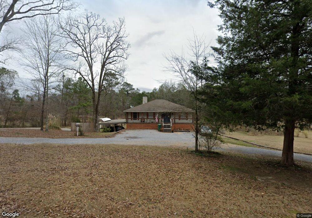
5440 Sheppard Dr Unit B Elmore, AL 36025
Estimated Value: $187,000 - $247,000
--
Bed
--
Bath
1,386
Sq Ft
$155/Sq Ft
Est. Value
About This Home
This home is located at 5440 Sheppard Dr Unit B, Elmore, AL 36025 and is currently estimated at $215,199, approximately $155 per square foot. 5440 Sheppard Dr Unit B is a home located in Elmore County with nearby schools including Coosada Elementary School, Airport Road Intermediate School, and Millbrook Middle Junior High School.
Ownership History
Date
Name
Owned For
Owner Type
Purchase Details
Closed on
Aug 8, 2019
Sold by
Allen Philips Walker
Bought by
Allen Philips Walker and Allen Jeffrey L
Current Estimated Value
Home Financials for this Owner
Home Financials are based on the most recent Mortgage that was taken out on this home.
Original Mortgage
$100,000
Outstanding Balance
$87,636
Interest Rate
3.73%
Mortgage Type
New Conventional
Estimated Equity
$127,563
Create a Home Valuation Report for This Property
The Home Valuation Report is an in-depth analysis detailing your home's value as well as a comparison with similar homes in the area
Home Values in the Area
Average Home Value in this Area
Purchase History
| Date | Buyer | Sale Price | Title Company |
|---|---|---|---|
| Allen Philips Walker | $125,000 | None Available | |
| Allen Phillips Walker | $125,000 | None Available |
Source: Public Records
Mortgage History
| Date | Status | Borrower | Loan Amount |
|---|---|---|---|
| Open | Allen Phillips Walker | $100,000 |
Source: Public Records
Tax History Compared to Growth
Tax History
| Year | Tax Paid | Tax Assessment Tax Assessment Total Assessment is a certain percentage of the fair market value that is determined by local assessors to be the total taxable value of land and additions on the property. | Land | Improvement |
|---|---|---|---|---|
| 2024 | $631 | $18,100 | $0 | $0 |
| 2023 | $593 | $181,030 | $15,030 | $166,000 |
| 2022 | $427 | $28,406 | $3,306 | $25,100 |
| 2021 | $402 | $26,786 | $3,306 | $23,480 |
| 2020 | $375 | $24,966 | $3,306 | $21,660 |
| 2019 | $310 | $23,546 | $3,306 | $20,240 |
| 2018 | $319 | $12,073 | $1,653 | $10,420 |
| 2017 | $280 | $10,780 | $1,656 | $9,124 |
| 2016 | $330 | $10,763 | $1,653 | $9,110 |
| 2014 | -- | $105,930 | $16,530 | $89,400 |
Source: Public Records
Map
Nearby Homes
- 6641 Rives Rd
- 6651 Rives Rd
- 4752 Ward Rd
- 6521 Pineleaf Dr
- 152 Meadow Lane Dr
- 4820 Alabama 14
- 92 Meadow Lane Dr
- 145 Brownstone Loop
- 125 Brownstone Loop
- 225 Brownstone Loop
- 3963 Highway 14 Hwy
- 274 Brownstone Loop
- 310 Brownstone Loop
- 280 Brownstone Loop
- 145 Charleston Dr
- 129 Robin Hood Ct
- 160 Nottingham Way
- 34 Robin Hood Ct
- 173 Brittany Dr S
- 76 Brittany Dr N
- 5440 Sheppard Dr
- 5441 Sheppard Dr
- 5460 Sheppard Dr
- 5421 Sheppard Dr
- 5420 Sheppard Dr
- 5461 Sheppard Dr
- 5400 Sheppard Dr
- 5470 Cheppard Dr
- 5480 Sheppard Dr
- 5481 Sheppard Dr
- 5381 Sheppard Dr
- 5380 Sheppard Dr
- 5361 Sheppard Dr
- 5486 Sheppard Dr
- 103 Reka St
- 100 Reka St
- 5496 Sheppard Dr
- 147 Reka St
- 147 Reka St
- 5330 Pineview Rd