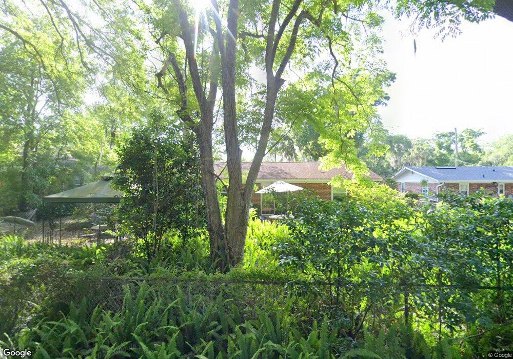
5441 Community Cir Jacksonville, FL 32207
San Jose NeighborhoodEstimated Value: $262,000 - $280,000
3
Beds
2
Baths
1,308
Sq Ft
$205/Sq Ft
Est. Value
About This Home
This home is located at 5441 Community Cir, Jacksonville, FL 32207 and is currently estimated at $268,637, approximately $205 per square foot. 5441 Community Cir is a home located in Duval County with nearby schools including San Jose Elementary School, Alfred I. Dupont Middle School, and Terry Parker High School.
Ownership History
Date
Name
Owned For
Owner Type
Purchase Details
Closed on
Aug 6, 2024
Sold by
Wallis Stephen R
Bought by
Wallis Stephen R and Wallis Brenda J
Current Estimated Value
Purchase Details
Closed on
Sep 4, 2009
Sold by
Wallis Stephen R
Bought by
Wallis Stephen R and Wallis Sandra R
Purchase Details
Closed on
Jan 17, 2003
Sold by
Wallis Stephen R and Wallis Sandra
Bought by
Wallis Stephen R and Wallis Sandra
Home Financials for this Owner
Home Financials are based on the most recent Mortgage that was taken out on this home.
Original Mortgage
$81,600
Interest Rate
5.98%
Purchase Details
Closed on
Apr 30, 1997
Sold by
Smith Essie W and Smith William Ronald
Bought by
Wallis Stephen R
Home Financials for this Owner
Home Financials are based on the most recent Mortgage that was taken out on this home.
Original Mortgage
$83,000
Interest Rate
7.98%
Create a Home Valuation Report for This Property
The Home Valuation Report is an in-depth analysis detailing your home's value as well as a comparison with similar homes in the area
Home Values in the Area
Average Home Value in this Area
Purchase History
| Date | Buyer | Sale Price | Title Company |
|---|---|---|---|
| Wallis Stephen R | $100 | None Listed On Document | |
| Wallis Stephen R | -- | None Available | |
| Wallis Stephen R | -- | -- | |
| Wallis Stephen R | $83,000 | -- |
Source: Public Records
Mortgage History
| Date | Status | Borrower | Loan Amount |
|---|---|---|---|
| Previous Owner | Wallis Stephen R | $81,600 | |
| Previous Owner | Wallis Stephen R | $83,000 |
Source: Public Records
Tax History Compared to Growth
Tax History
| Year | Tax Paid | Tax Assessment Tax Assessment Total Assessment is a certain percentage of the fair market value that is determined by local assessors to be the total taxable value of land and additions on the property. | Land | Improvement |
|---|---|---|---|---|
| 2025 | $1,782 | $137,905 | -- | -- |
| 2024 | $1,811 | $134,019 | -- | -- |
| 2023 | $1,811 | $130,116 | $0 | $0 |
| 2022 | $1,649 | $126,327 | $0 | $0 |
| 2021 | $1,628 | $122,648 | $0 | $0 |
| 2020 | $1,562 | $118,326 | $0 | $0 |
| 2019 | $1,539 | $115,666 | $0 | $0 |
| 2018 | $0 | $113,510 | $0 | $0 |
| 2017 | $0 | $111,176 | $0 | $0 |
| 2016 | $369 | $108,890 | $0 | $0 |
| 2015 | $1,488 | $108,134 | $0 | $0 |
| 2014 | $1,488 | $107,276 | $0 | $0 |
Source: Public Records
Map
Nearby Homes
- 1971 Lakewood Cir S
- 5551 Lakewood Cir E
- 1972 Lakewood Cir S
- 5438 Stetson Rd
- 5633 Patsy Anne Dr
- 2655 Community Rd
- 6144 Fordham Cir W
- 6160 Fordham Cir E
- 6114 Stetson Rd
- 6167 Fordham Cir E
- 5252 Rollins Ave
- 1934 Clemson Rd
- 1914 Clemson Rd
- 6172 Mercer Cir E
- 6216 Fordham Cir E
- 1604 Arcadia Dr Unit 203
- 1604 Arcadia Dr Unit 110
- 6237 Temple Rd
- 6414 Colgate Rd
- 1559 Arcadia Dr
- 5449 Community Cir
- 5437 Community Cir
- 5457 Community Cir
- 5429 Community Cir
- 5441 Carrin Ln
- 5451 Carrin Ln
- 5452 Community Rd
- 5444 Community Cir
- 5444 Community Rd
- 5435 Carrin Ln
- 5452 Community Cir
- 5459 Carrin Ln
- 5436 Community Cir
- 5465 Community Cir
- 5421 Community Cir
- 5458 Community Cir
- 5406 Community Cir
- 5465 Carrin Ln
- 5466 Community Rd
- 5466 Community Cir Unit y Circle