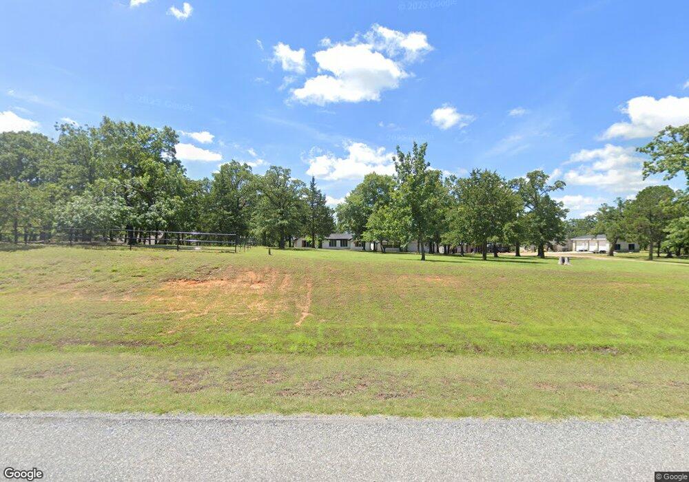
5443 W Fm 120 Denison, TX 75020
Estimated Value: $317,105 - $369,000
--
Bed
--
Bath
1,494
Sq Ft
$230/Sq Ft
Est. Value
About This Home
This home is located at 5443 W Fm 120, Denison, TX 75020 and is currently estimated at $343,053, approximately $229 per square foot. 5443 W Fm 120 is a home located in Grayson County with nearby schools including Pottsboro Elementary School, Pottsboro Middle School, and Pottsboro High School.
Ownership History
Date
Name
Owned For
Owner Type
Purchase Details
Closed on
Jul 14, 2014
Sold by
Rust Dottie
Bought by
Rust Sheehan Cindy B
Current Estimated Value
Purchase Details
Closed on
Jul 28, 2008
Sold by
Rust Harrison Dorothea
Bought by
Rust Dottie
Purchase Details
Closed on
Jan 12, 2004
Sold by
Veal Betty Jean and Veal Lee Roy
Bought by
Harrison Jack Robert
Home Financials for this Owner
Home Financials are based on the most recent Mortgage that was taken out on this home.
Original Mortgage
$145,000
Interest Rate
5.79%
Mortgage Type
VA
Create a Home Valuation Report for This Property
The Home Valuation Report is an in-depth analysis detailing your home's value as well as a comparison with similar homes in the area
Home Values in the Area
Average Home Value in this Area
Purchase History
| Date | Buyer | Sale Price | Title Company |
|---|---|---|---|
| Rust Sheehan Cindy B | -- | None Available | |
| Rust Dottie | -- | None Available | |
| Harrison Jack Robert | -- | -- |
Source: Public Records
Mortgage History
| Date | Status | Borrower | Loan Amount |
|---|---|---|---|
| Previous Owner | Harrison Jack Robert | $145,000 |
Source: Public Records
Tax History Compared to Growth
Tax History
| Year | Tax Paid | Tax Assessment Tax Assessment Total Assessment is a certain percentage of the fair market value that is determined by local assessors to be the total taxable value of land and additions on the property. | Land | Improvement |
|---|---|---|---|---|
| 2025 | $376 | $328,996 | -- | -- |
| 2024 | $4,155 | $299,087 | $0 | $0 |
| 2023 | $375 | $271,897 | $0 | $0 |
| 2022 | $3,900 | $247,179 | $0 | $0 |
| 2021 | $3,665 | $227,907 | $90,000 | $137,907 |
| 2020 | $3,459 | $213,885 | $80,000 | $133,885 |
| 2019 | $3,296 | $192,567 | $60,000 | $132,567 |
| 2018 | $3,034 | $180,310 | $55,000 | $125,310 |
| 2017 | $2,795 | $153,686 | $30,000 | $123,686 |
| 2016 | $2,541 | $141,932 | $30,000 | $111,932 |
| 2015 | $1,009 | $126,841 | $30,000 | $96,841 |
| 2014 | $1,126 | $118,167 | $22,000 | $96,167 |
Source: Public Records
Map
Nearby Homes
- 1 Farm To Market 120
- 5586 W Fm 120
- 8 Summit Oaks Cir
- 48 Summit Oaks Cir
- 801 Well Rd
- 1026 S Fm 131
- TBD W Fm 120
- TBD Preston Rd
- 000 Davy Ln
- 629 Deleon St
- 2255 Davy Ln
- 226 Well Rd
- 610 Deleon St
- TBD Deleon St
- Lot 3, 1055 Waters Edge Dr
- Lot 4, 1069 Waters Edge Dr
- Lot 2, 1037 Waters Edge Dr
- Lot 1, 1015 Waters Edge Dr
- Lot 5, 1087 Waters Edge Dr
- 1104 Cortez St
- 5393 W Fm 120
- 5445 W Fm 120
- 5469 W Fm 120
- 6914 Farm To Market 120
- 5369 W Fm 120
- 5515 W Fm 120
- 5579 W Fm 120
- 1 Summit Oaks Cir
- 5575 W Fm 120
- 5577 Blaylock
- 5520 W Fm 120
- 18 Summit Oaks Cir
- 2 Summit Oaks Cir
- 4 Summit Oaks Cir
- 19 Summit Oaks Cir
- 7 Summit Oaks Cir
- 6 Summit Oaks Cir
- 10 Summit Oaks Cir
- 5249 W Fm 120
- 9 Summit Oaks Cir