5445 E 600 N Roanoke, IN 46783
Estimated Value: $254,000 - $327,000
3
Beds
1
Bath
1,834
Sq Ft
$161/Sq Ft
Est. Value
About This Home
This home is located at 5445 E 600 N, Roanoke, IN 46783 and is currently estimated at $294,823, approximately $160 per square foot. 5445 E 600 N is a home located in Huntington County with nearby schools including Roanoke Elementary School, Crestview Middle School, and Huntington North High School.
Ownership History
Date
Name
Owned For
Owner Type
Purchase Details
Closed on
May 18, 2023
Sold by
Mechelke Thomas and Mechelke Kelli
Bought by
Goff Ryan S and Goff Laura Nichole
Current Estimated Value
Home Financials for this Owner
Home Financials are based on the most recent Mortgage that was taken out on this home.
Original Mortgage
$209,300
Outstanding Balance
$203,363
Interest Rate
6.28%
Mortgage Type
New Conventional
Estimated Equity
$91,460
Purchase Details
Closed on
Jun 23, 2017
Sold by
Collier Robert C and Collier Judith B
Bought by
Mechelke Thomas and Mechelke Kelli
Create a Home Valuation Report for This Property
The Home Valuation Report is an in-depth analysis detailing your home's value as well as a comparison with similar homes in the area
Home Values in the Area
Average Home Value in this Area
Purchase History
| Date | Buyer | Sale Price | Title Company |
|---|---|---|---|
| Goff Ryan S | $300,000 | None Listed On Document | |
| Mechelke Thomas | -- | None Available |
Source: Public Records
Mortgage History
| Date | Status | Borrower | Loan Amount |
|---|---|---|---|
| Open | Goff Ryan S | $209,300 |
Source: Public Records
Tax History Compared to Growth
Tax History
| Year | Tax Paid | Tax Assessment Tax Assessment Total Assessment is a certain percentage of the fair market value that is determined by local assessors to be the total taxable value of land and additions on the property. | Land | Improvement |
|---|---|---|---|---|
| 2024 | $1,750 | $224,400 | $24,000 | $200,400 |
| 2023 | $1,798 | $215,800 | $24,000 | $191,800 |
| 2022 | $1,521 | $104,900 | $24,000 | $80,900 |
| 2021 | $1,473 | $92,000 | $24,000 | $68,000 |
| 2020 | $1,471 | $88,900 | $24,000 | $64,900 |
| 2019 | $1,324 | $87,700 | $24,000 | $63,700 |
| 2018 | $769 | $48,700 | $15,800 | $32,900 |
| 2017 | $685 | $46,400 | $15,800 | $30,600 |
| 2016 | $601 | $46,100 | $15,800 | $30,300 |
| 2014 | $675 | $52,700 | $20,800 | $31,900 |
| 2013 | $675 | $83,800 | $20,800 | $63,000 |
Source: Public Records
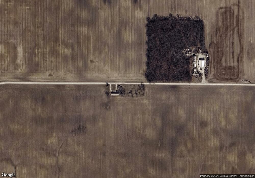
Map
Nearby Homes
- * Ginger Rd
- 500 W 800 N-90
- 0 Ginger Rd
- 4565 E Station Rd
- 13011 Hamilton Rd
- TBD W Yoder Rd
- 15011 Lafayette Center Rd
- 680 Helms Orange Dr
- 451 Rockwell Ave
- 602 Nancyk Crossing
- 548 Frederick Crossing
- 738 Waxwing Ct Unit 29
- 366 Hillside Ave
- 17820 N Wayne St
- 482 Commercial St
- 11130 N 300 W
- 10930 Yoder Rd
- 694 W Vine St
- TBD Feighner Rd
- tbd Kilsoquah