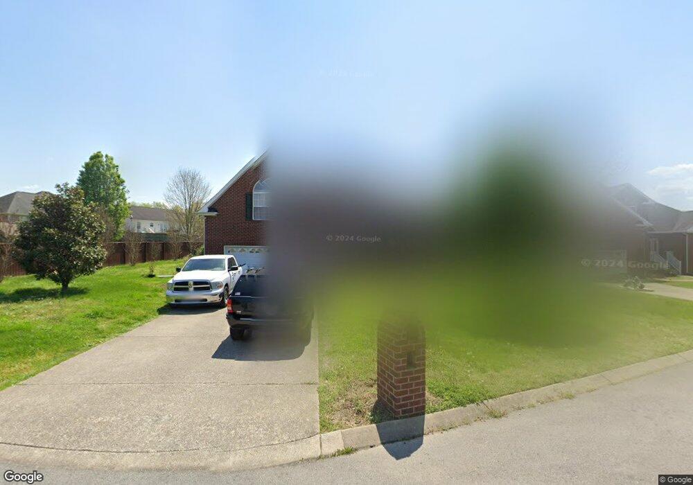
545 Bradford Dr Gallatin, TN 37066
Estimated Value: $516,000 - $552,000
--
Bed
4
Baths
2,793
Sq Ft
$191/Sq Ft
Est. Value
About This Home
This home is located at 545 Bradford Dr, Gallatin, TN 37066 and is currently estimated at $533,155, approximately $190 per square foot. 545 Bradford Dr is a home located in Sumner County with nearby schools including Howard Elementary School, Rucker Stewart Middle School, and Station Camp High School.
Ownership History
Date
Name
Owned For
Owner Type
Purchase Details
Closed on
Nov 4, 2005
Sold by
Goodall Inc Builders
Bought by
King Trent D and King Maria
Current Estimated Value
Home Financials for this Owner
Home Financials are based on the most recent Mortgage that was taken out on this home.
Original Mortgage
$180,930
Outstanding Balance
$97,919
Interest Rate
5.84%
Mortgage Type
Fannie Mae Freddie Mac
Estimated Equity
$435,236
Purchase Details
Closed on
Jul 15, 2005
Sold by
Tyree Woods Co
Bought by
Goodall Inc Builders
Create a Home Valuation Report for This Property
The Home Valuation Report is an in-depth analysis detailing your home's value as well as a comparison with similar homes in the area
Home Values in the Area
Average Home Value in this Area
Purchase History
| Date | Buyer | Sale Price | Title Company |
|---|---|---|---|
| King Trent D | $226,171 | -- | |
| Goodall Inc Builders | $368,000 | -- |
Source: Public Records
Mortgage History
| Date | Status | Borrower | Loan Amount |
|---|---|---|---|
| Open | King Trent D | $180,930 | |
| Closed | King Trent D | $33,920 |
Source: Public Records
Tax History Compared to Growth
Tax History
| Year | Tax Paid | Tax Assessment Tax Assessment Total Assessment is a certain percentage of the fair market value that is determined by local assessors to be the total taxable value of land and additions on the property. | Land | Improvement |
|---|---|---|---|---|
| 2024 | $2,009 | $141,400 | $21,250 | $120,150 |
| 2023 | $2,639 | $86,475 | $16,250 | $70,225 |
| 2022 | $2,648 | $86,475 | $16,250 | $70,225 |
| 2021 | $2,648 | $86,475 | $16,250 | $70,225 |
| 2020 | $2,648 | $86,475 | $16,250 | $70,225 |
| 2019 | $2,648 | $0 | $0 | $0 |
| 2018 | $2,172 | $0 | $0 | $0 |
| 2017 | $2,172 | $0 | $0 | $0 |
| 2016 | $1,556 | $0 | $0 | $0 |
| 2015 | $2,172 | $0 | $0 | $0 |
| 2014 | $2,108 | $0 | $0 | $0 |
Source: Public Records
Map
Nearby Homes
- 540 Bradford Dr
- 1273 Wentworth Dr
- 420 Dorchester Place
- 608 Bradford Dr
- 1036 Middleton Ln
- 415 Buckingham Blvd
- 1239 Wentworth Dr
- 1328 Wentworth Dr
- 376 Huntington Dr
- 1017 Laurelwood Dr
- 300 Remington Ave
- 1017 Wickshire Dr
- 1245 Amherst Ct
- 305 Remington Ave
- 294 Buckingham Blvd
- 156 Hackney Ln
- 130 Saxony Way
- 139 Buckingham Blvd
- 806 Warrington Ct
- 1182 Long Hollow Pike Unit G3
- 541 Bradford Dr
- 464 Remington Ave
- 460 Remington Ave
- 537 Bradford Dr
- 452 Remington Ave
- 472 Remington Ave
- 546 Bradford Dr
- 438 Remington Ave
- 1236 Stanfield Ct
- 1232 Stanfield Ct
- 1240 Stanfield Ct
- 533 Bradford Dr
- 533 Bradford Dr
- 536 Bradford Dr
- 536 Bradford Dr
- 1244 Stanfield Ct
- 434 Remington Ave
- 476 Remington Ave
- 1248 Stanfield Ct