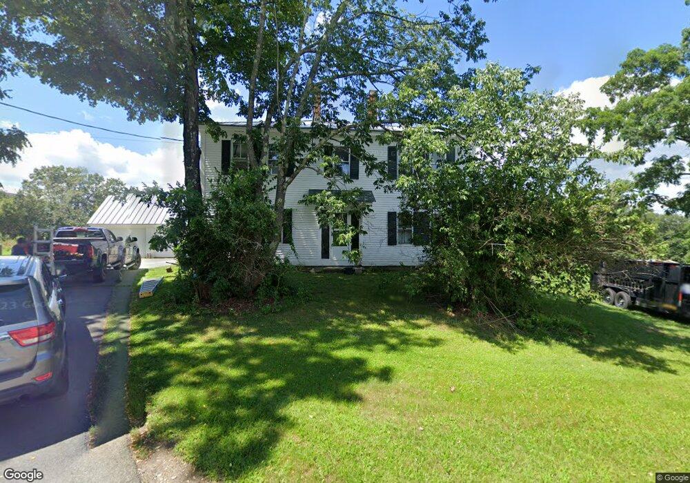
545 Route 63 Chesterfield, NH 03443
Estimated Value: $369,528 - $555,000
4
Beds
3
Baths
2,752
Sq Ft
$167/Sq Ft
Est. Value
About This Home
This home is located at 545 Route 63, Chesterfield, NH 03443 and is currently estimated at $460,882, approximately $167 per square foot. 545 Route 63 is a home with nearby schools including Chesterfield Central School, Mayland Early College High School, and Keene High School.
Ownership History
Date
Name
Owned For
Owner Type
Purchase Details
Closed on
Apr 27, 2020
Sold by
Margaret A Johnson Ret
Bought by
Garant Daniel D
Current Estimated Value
Home Financials for this Owner
Home Financials are based on the most recent Mortgage that was taken out on this home.
Original Mortgage
$188,000
Outstanding Balance
$166,594
Interest Rate
3.3%
Mortgage Type
Purchase Money Mortgage
Estimated Equity
$294,288
Create a Home Valuation Report for This Property
The Home Valuation Report is an in-depth analysis detailing your home's value as well as a comparison with similar homes in the area
Home Values in the Area
Average Home Value in this Area
Purchase History
| Date | Buyer | Sale Price | Title Company |
|---|---|---|---|
| Garant Daniel D | $235,000 | None Available |
Source: Public Records
Mortgage History
| Date | Status | Borrower | Loan Amount |
|---|---|---|---|
| Open | Garant Daniel D | $188,000 |
Source: Public Records
Tax History Compared to Growth
Tax History
| Year | Tax Paid | Tax Assessment Tax Assessment Total Assessment is a certain percentage of the fair market value that is determined by local assessors to be the total taxable value of land and additions on the property. | Land | Improvement |
|---|---|---|---|---|
| 2024 | $5,054 | $249,700 | $90,200 | $159,500 |
| 2023 | $4,949 | $249,700 | $90,200 | $159,500 |
| 2022 | $4,849 | $249,700 | $90,200 | $159,500 |
| 2021 | $4,747 | $249,700 | $90,200 | $159,500 |
| 2020 | $4,945 | $218,700 | $79,300 | $139,400 |
| 2019 | $4,877 | $218,500 | $79,300 | $139,200 |
| 2018 | $4,405 | $218,500 | $79,300 | $139,200 |
| 2016 | $4,694 | $220,800 | $79,300 | $141,500 |
| 2014 | $4,904 | $220,800 | $79,300 | $141,500 |
Source: Public Records
Map
Nearby Homes
- 0 Stow Dr Unit 4929741
- 821 Route 9
- 00 Orchard Rd Unit 1
- 85 Foley Rd
- 123 Poocham Rd
- 136 Cross Rd
- 36 Canal St
- 563 N Shore Rd
- 48 Church St
- Lot 20 -20.3 Farr Rd
- 30 Farr Rd
- 43 Westmoreland Rd
- 484 Old Swanzey Rd
- 1123 River Rd
- 21 Valley Park Dr
- 31 Crescent Dr
- 161 Buttonwood Dr
- 16 Vermont Ave
- 162 Buttonwood Dr
- 50 Terrace St
- 545 New Hampshire 63
- 543 Route 63
- 556 Route 63
- 541 Route 63
- 546 Route 63
- 557 Route 63
- 556 New Hampshire 63
- 555 Route 63
- 523 Route 63
- 527 Route 63
- 178 Twin Brook Rd
- 511 Route 63
- 504 Route 63
- 507 Route 63
- 0 Cobble Hill Rd
- 493 New Hampshire 63
- 161 Twin Brook Rd
- 0 Horseshoe Rd Unit 4186614
- 493 Route 63
- 158 Twin Brook Rd