5452 Root Rd Conneaut, OH 44030
Estimated Value: $261,000 - $387,793
3
Beds
2
Baths
1,752
Sq Ft
$182/Sq Ft
Est. Value
About This Home
This home is located at 5452 Root Rd, Conneaut, OH 44030 and is currently estimated at $318,264, approximately $181 per square foot. 5452 Root Rd is a home located in Ashtabula County with nearby schools including Lakeshore Primary Elementary School, Gateway Elementary School, and Conneaut Middle School.
Ownership History
Date
Name
Owned For
Owner Type
Purchase Details
Closed on
Dec 23, 2024
Sold by
Morrison John C
Bought by
John C Morrison Irrevocable Trust and Morrison
Current Estimated Value
Purchase Details
Closed on
Jan 18, 2022
Sold by
Green Land Holdings Llc
Bought by
Morrison Betty Lou
Purchase Details
Closed on
Jan 14, 2022
Sold by
Lou Morrison Betty
Bought by
Morrison John C
Purchase Details
Closed on
Sep 30, 2021
Sold by
Lou Morrison Betty
Bought by
Green Land Holdings Llc
Create a Home Valuation Report for This Property
The Home Valuation Report is an in-depth analysis detailing your home's value as well as a comparison with similar homes in the area
Purchase History
| Date | Buyer | Sale Price | Title Company |
|---|---|---|---|
| John C Morrison Irrevocable Trust | -- | None Listed On Document | |
| John C Morrison Irrevocable Trust | -- | None Listed On Document | |
| Morrison Betty Lou | $206,000 | None Listed On Document | |
| Morrison John C | $375 | None Listed On Document | |
| Green Land Holdings Llc | -- | None Listed On Document |
Source: Public Records
Tax History
| Year | Tax Paid | Tax Assessment Tax Assessment Total Assessment is a certain percentage of the fair market value that is determined by local assessors to be the total taxable value of land and additions on the property. | Land | Improvement |
|---|---|---|---|---|
| 2024 | $6,817 | $99,300 | $20,650 | $78,650 |
| 2023 | $4,229 | $99,300 | $20,650 | $78,650 |
| 2022 | $3,525 | $72,100 | $15,890 | $56,210 |
| 2021 | $3,142 | $72,100 | $15,890 | $56,210 |
| 2020 | $3,142 | $72,100 | $15,890 | $56,210 |
| 2019 | $3,293 | $73,510 | $15,440 | $58,070 |
| 2018 | $3,176 | $73,510 | $15,440 | $58,070 |
| 2017 | $1,585 | $73,510 | $15,440 | $58,070 |
| 2016 | $2,724 | $68,920 | $14,110 | $54,810 |
| 2015 | $2,720 | $68,920 | $14,110 | $54,810 |
| 2014 | $2,623 | $68,920 | $14,110 | $54,810 |
| 2013 | $2,284 | $60,140 | $14,110 | $46,030 |
Source: Public Records
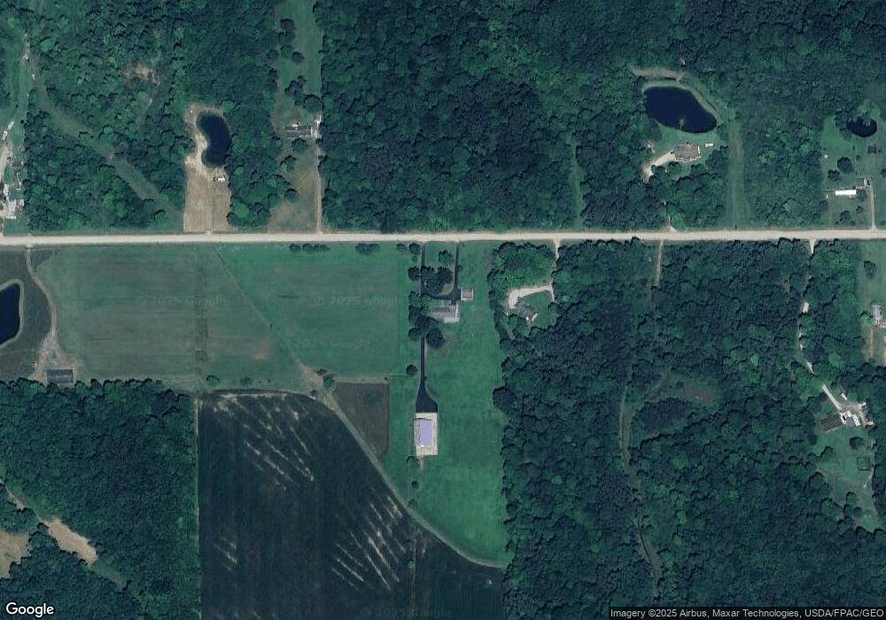
Map
Nearby Homes
- 5281 Monroe Center Rd
- 5024 Hilldom Rd
- 0 Adams Rd Unit 5195086
- 0 Adams Rd Unit LotWP001
- 4814 Hilldom Rd
- Oh-7 Unit LoTWP001
- 4775 School St
- 5958 Weaver Rd
- 0 Weaver Rd Unit 11673543
- 6231 Weaver Rd
- 5581 Hatches Corners Rd
- 3644 Plymouth Ridge Rd
- 0 Middle Rd
- 9573 State Line Rd
- 3561 Fox Rd
- 4132 Benetka Rd
- 3583 Fox Rd
- 0 Lewis Rd
- 3545 Fox Rd
- 3527 Fox Rd
Your Personal Tour Guide
Ask me questions while you tour the home.