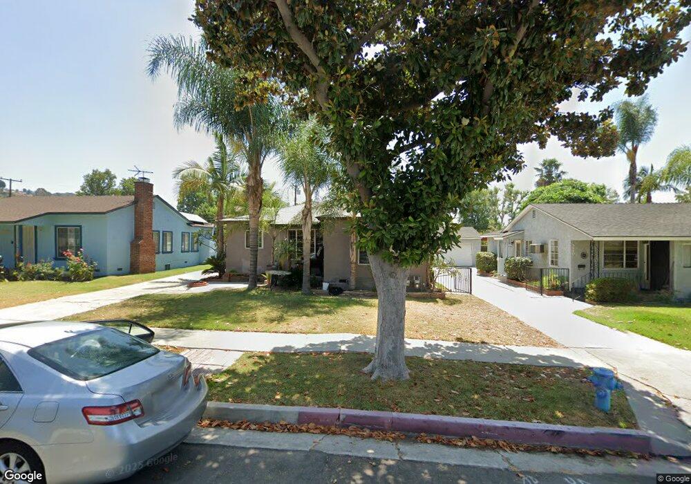
5456 Mavis Ave Whittier, CA 90601
West Whittier NeighborhoodEstimated Value: $714,000 - $750,000
2
Beds
1
Bath
1,000
Sq Ft
$737/Sq Ft
Est. Value
About This Home
This home is located at 5456 Mavis Ave, Whittier, CA 90601 and is currently estimated at $736,738, approximately $736 per square foot. 5456 Mavis Ave is a home located in Los Angeles County with nearby schools including Orange Grove Elementary School, Walter F. Dexter Middle School, and Whittier High School.
Ownership History
Date
Name
Owned For
Owner Type
Purchase Details
Closed on
Jan 6, 2005
Sold by
Parker Stephen
Bought by
Lara Jose P and Lara Rosa B
Current Estimated Value
Home Financials for this Owner
Home Financials are based on the most recent Mortgage that was taken out on this home.
Original Mortgage
$316,000
Outstanding Balance
$159,438
Interest Rate
5.74%
Mortgage Type
Purchase Money Mortgage
Estimated Equity
$577,300
Purchase Details
Closed on
Nov 11, 1998
Sold by
Clardy Lillian E Trust
Bought by
Parker Stephen and Parker Linda L
Create a Home Valuation Report for This Property
The Home Valuation Report is an in-depth analysis detailing your home's value as well as a comparison with similar homes in the area
Home Values in the Area
Average Home Value in this Area
Purchase History
| Date | Buyer | Sale Price | Title Company |
|---|---|---|---|
| Lara Jose P | $395,000 | Fatcola | |
| Parker Stephen | -- | -- |
Source: Public Records
Mortgage History
| Date | Status | Borrower | Loan Amount |
|---|---|---|---|
| Open | Lara Jose P | $316,000 | |
| Closed | Lara Jose P | $59,250 |
Source: Public Records
Tax History
| Year | Tax Paid | Tax Assessment Tax Assessment Total Assessment is a certain percentage of the fair market value that is determined by local assessors to be the total taxable value of land and additions on the property. | Land | Improvement |
|---|---|---|---|---|
| 2025 | $6,681 | $550,578 | $440,469 | $110,109 |
| 2024 | $6,681 | $539,783 | $431,833 | $107,950 |
| 2023 | $6,501 | $529,200 | $423,366 | $105,834 |
| 2022 | $6,320 | $518,824 | $415,065 | $103,759 |
| 2021 | $6,210 | $508,652 | $406,927 | $101,725 |
| 2019 | $6,141 | $493,566 | $394,858 | $98,708 |
| 2018 | $5,978 | $483,889 | $387,116 | $96,773 |
| 2016 | $5,166 | $415,000 | $331,000 | $84,000 |
| 2015 | $4,984 | $401,000 | $320,000 | $81,000 |
| 2014 | $4,730 | $378,000 | $302,000 | $76,000 |
Source: Public Records
Map
Nearby Homes
- 5518 Rockne Ave
- 10602 Monaco Ct
- 5235 Andalucia Ct
- 5433 Mesagrove Ave
- 5315 Bihr Ct
- 10605 Cordoba Ct
- 5205 Tierra Bonita Dr
- 5029 Tierra Antigua Dr Unit 107
- 5523 Pioneer Blvd Unit 30
- 5519 Pioneer Blvd Unit 42
- 5593 Pioneer Blvd
- 10607 Orange Dr
- 5903 Redman Ave
- 5915 Morrill Ave
- 5729 Juarez Ave
- 10608 Whittier Blvd
- 11141 Dorland St
- 3735 Croton Ave
- 10853 Glencannon Dr
- 12408 Carinthia Dr
- 5450 Mavis Ave
- 5460 Mavis Ave
- 5446 Mavis Ave
- 5502 Mavis Ave
- 5457 Rockne Ave
- 5451 Rockne Ave
- 5461 Rockne Ave
- 5440 Mavis Ave
- 5508 Mavis Ave
- 5447 Rockne Ave
- 5503 Rockne Ave
- 5457 Mavis Ave
- 5451 Mavis Ave
- 5436 Mavis Ave
- 5461 Mavis Ave
- 5441 Rockne Ave
- 5512 Mavis Ave
- 5507 Rockne Ave
- 5447 Mavis Ave
- 5503 Mavis Ave
Your Personal Tour Guide
Ask me questions while you tour the home.