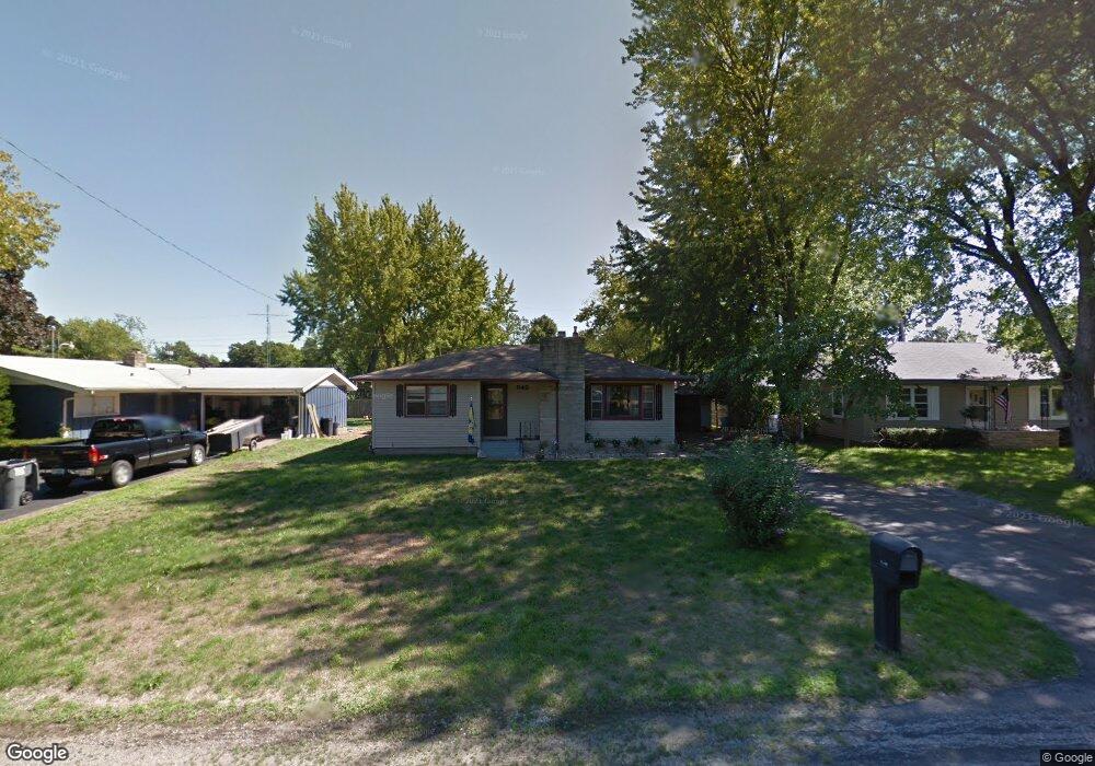
546 Cayuga Rd Benton Harbor, MI 49022
Fair Plain NeighborhoodEstimated Value: $158,000 - $211,000
3
Beds
1
Bath
1,172
Sq Ft
$162/Sq Ft
Est. Value
About This Home
This home is located at 546 Cayuga Rd, Benton Harbor, MI 49022 and is currently estimated at $189,348, approximately $161 per square foot. 546 Cayuga Rd is a home located in Berrien County with nearby schools including Fair Plain Middle School, Benton Harbor High School, and Benton Harbor Charter School Academy.
Ownership History
Date
Name
Owned For
Owner Type
Purchase Details
Closed on
Jun 15, 2011
Sold by
Green Irving R and Green Wanda J
Bought by
Kasun Martha
Current Estimated Value
Home Financials for this Owner
Home Financials are based on the most recent Mortgage that was taken out on this home.
Original Mortgage
$72,124
Outstanding Balance
$49,110
Interest Rate
4.37%
Mortgage Type
FHA
Estimated Equity
$140,238
Purchase Details
Closed on
Feb 21, 2000
Purchase Details
Closed on
Apr 17, 1985
Create a Home Valuation Report for This Property
The Home Valuation Report is an in-depth analysis detailing your home's value as well as a comparison with similar homes in the area
Home Values in the Area
Average Home Value in this Area
Purchase History
| Date | Buyer | Sale Price | Title Company |
|---|---|---|---|
| Kasun Martha | $74,000 | Cti | |
| -- | $100 | -- | |
| -- | $35,600 | -- |
Source: Public Records
Mortgage History
| Date | Status | Borrower | Loan Amount |
|---|---|---|---|
| Open | Kasun Martha | $72,124 |
Source: Public Records
Tax History
| Year | Tax Paid | Tax Assessment Tax Assessment Total Assessment is a certain percentage of the fair market value that is determined by local assessors to be the total taxable value of land and additions on the property. | Land | Improvement |
|---|---|---|---|---|
| 2025 | $1,659 | $84,300 | $0 | $0 |
| 2024 | $851 | $68,000 | $0 | $0 |
| 2023 | $811 | $51,800 | $0 | $0 |
| 2022 | $772 | $48,800 | $0 | $0 |
| 2021 | $1,251 | $50,900 | $10,400 | $40,500 |
| 2020 | $1,166 | $50,700 | $0 | $0 |
| 2019 | $1,114 | $43,600 | $7,000 | $36,600 |
| 2018 | $1,051 | $43,600 | $0 | $0 |
| 2017 | $1,036 | $42,700 | $0 | $0 |
| 2016 | $1,008 | $42,500 | $0 | $0 |
| 2015 | $1,005 | $39,000 | $0 | $0 |
| 2014 | $655 | $38,300 | $0 | $0 |
Source: Public Records
Map
Nearby Homes
- 1295 Pontiac Rd
- 379 Western Ave
- 298 Bradford Rd
- 1772 Lombard St
- 2511 Riverwood Terrace
- 1298 Colfax Ave
- 389 Parker Ave
- 1000 Riverview Dr Unit 11
- 377 Parker Ave
- 1209 Mohawk Ln
- 266 Parker Ave
- 1127 Orchard Ave
- 2311 Bryan St
- 180 Emery Ave
- 399 Island Pointe Dr Unit Slip 175
- V/L Mcalister
- 1301 Lewis Ave
- 298 W Empire Ave
- 2524 Morton Ave
- 177 Hastings Ave
Your Personal Tour Guide
Ask me questions while you tour the home.