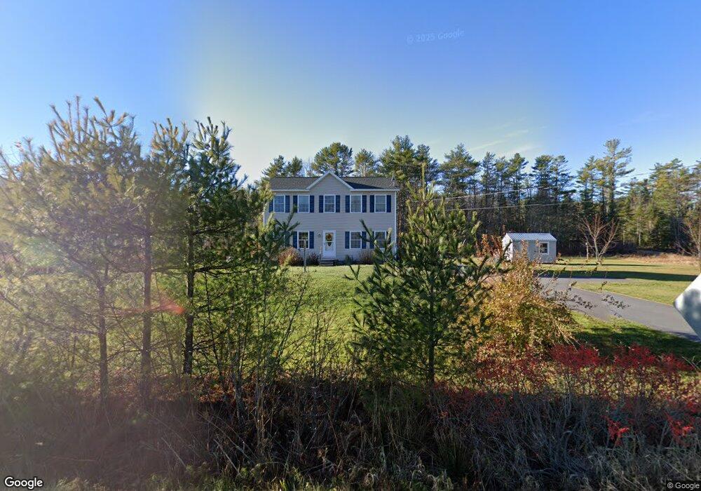
546 Foreside Rd Topsham, ME 04086
Estimated Value: $484,000 - $540,000
3
Beds
3
Baths
1,872
Sq Ft
$277/Sq Ft
Est. Value
About This Home
This home is located at 546 Foreside Rd, Topsham, ME 04086 and is currently estimated at $518,951, approximately $277 per square foot. 546 Foreside Rd is a home with nearby schools including Mt Ararat High School and St John's Catholic School.
Create a Home Valuation Report for This Property
The Home Valuation Report is an in-depth analysis detailing your home's value as well as a comparison with similar homes in the area
Home Values in the Area
Average Home Value in this Area
Tax History
| Year | Tax Paid | Tax Assessment Tax Assessment Total Assessment is a certain percentage of the fair market value that is determined by local assessors to be the total taxable value of land and additions on the property. | Land | Improvement |
|---|---|---|---|---|
| 2025 | $5,946 | $464,500 | $70,600 | $393,900 |
| 2024 | $5,839 | $467,100 | $65,800 | $401,300 |
| 2023 | $5,440 | $400,600 | $62,700 | $337,900 |
| 2022 | $5,190 | $359,900 | $60,500 | $299,400 |
| 2021 | $5,024 | $316,600 | $55,700 | $260,900 |
| 2020 | $4,933 | $276,200 | $55,700 | $220,500 |
| 2019 | $4,994 | $260,800 | $55,700 | $205,100 |
| 2018 | $4,563 | $243,600 | $50,100 | $193,500 |
| 2017 | $4,414 | $243,600 | $50,100 | $193,500 |
| 2016 | $4,237 | $235,500 | $50,100 | $185,400 |
| 2015 | $4,192 | $233,400 | $50,100 | $183,300 |
| 2014 | $3,904 | $225,300 | $50,100 | $175,200 |
| 2013 | $3,751 | $225,300 | $50,100 | $175,200 |
Source: Public Records
Map
Nearby Homes
- Lot 2 Cornish Ln
- Lot 1 Cornish Ln
- 550 Foreside Rd
- 543 Foreside Rd
- 530 Foreside Rd
- 504 Foreside Rd
- 556 Foreside Rd
- 556 Foreside Rd
- 555 Foreside Rd
- 14 Cornish Ln
- 00 Cornish Ln
- 14 Adeas Ln
- 500 Foreside Rd
- 17 Adeas Ln
- 521 Foreside Rd
- 540 Foreside Rd
- 22 Adeas Ln
- 3 Palmer Ln
- 568 Foreside Rd
- 505 Foreside Rd
Your Personal Tour Guide
Ask me questions while you tour the home.