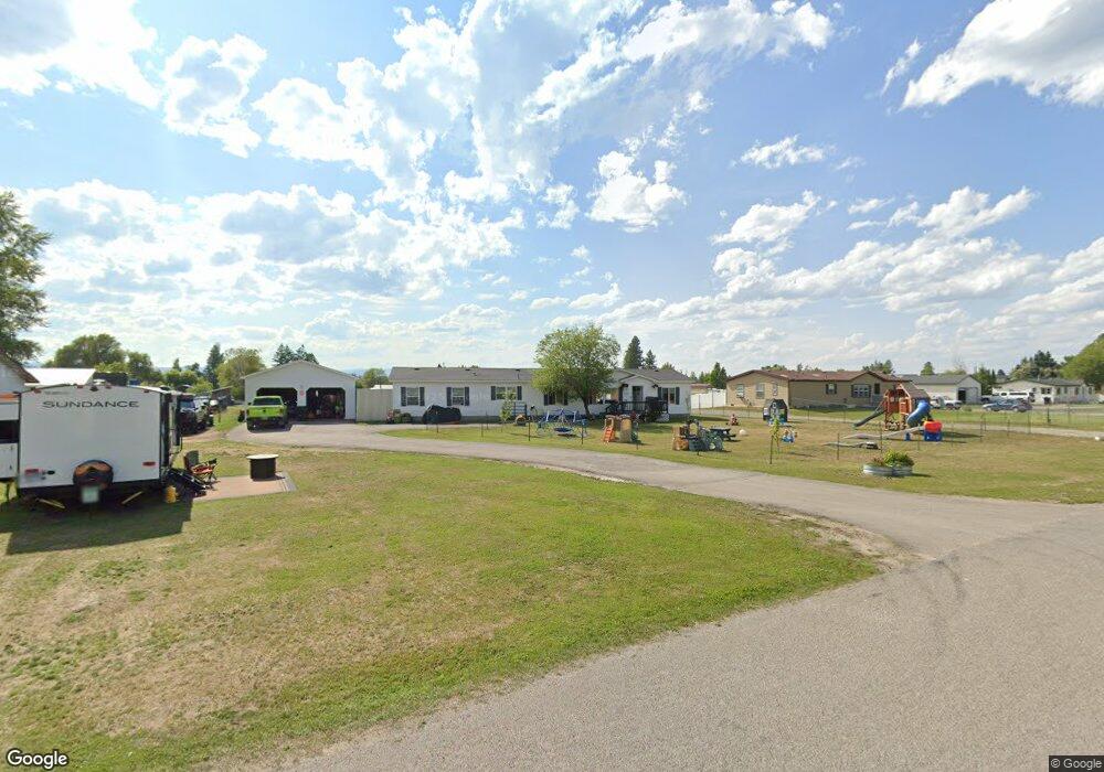
546 Maple Dr Kalispell, MT 59901
Estimated Value: $522,000 - $557,000
4
Beds
3
Baths
2,156
Sq Ft
$248/Sq Ft
Est. Value
About This Home
This home is located at 546 Maple Dr, Kalispell, MT 59901 and is currently estimated at $535,341, approximately $248 per square foot. 546 Maple Dr is a home located in Flathead County with nearby schools including East Evergreen School, Evergreen Junior High School (7-8), and Glacier High School.
Ownership History
Date
Name
Owned For
Owner Type
Purchase Details
Closed on
Jun 3, 2016
Sold by
Bj Rentals Llc
Bought by
Evergreen Complex Llc
Current Estimated Value
Purchase Details
Closed on
Oct 14, 2015
Sold by
Perrine Gary A and Perrine Elizabeth A
Bought by
Bj Rentals Llc
Purchase Details
Closed on
May 24, 2012
Sold by
Jb Estates Llc
Bought by
Bj Rentals Llc
Purchase Details
Closed on
Nov 28, 2006
Sold by
Rinkes Red Hawk Ranch Llc
Bought by
J B Estates Llc
Purchase Details
Closed on
May 17, 2006
Sold by
Rinkes Red Hawk Ranch Llc
Bought by
Klindt Leila J
Create a Home Valuation Report for This Property
The Home Valuation Report is an in-depth analysis detailing your home's value as well as a comparison with similar homes in the area
Purchase History
| Date | Buyer | Sale Price | Title Company |
|---|---|---|---|
| Evergreen Complex Llc | -- | None Available | |
| Bj Rentals Llc | -- | None Available | |
| Bj Rentals Llc | -- | None Available | |
| J B Estates Llc | -- | None Available | |
| Klindt Leila J | -- | Citizens Title And Escrow Co |
Source: Public Records
Tax History
| Year | Tax Paid | Tax Assessment Tax Assessment Total Assessment is a certain percentage of the fair market value that is determined by local assessors to be the total taxable value of land and additions on the property. | Land | Improvement |
|---|---|---|---|---|
| 2025 | $1,511 | $385,396 | $0 | $0 |
| 2024 | $1,909 | $298,252 | $0 | $0 |
| 2023 | $1,948 | $298,252 | $0 | $0 |
| 2022 | $1,744 | $191,572 | $0 | $0 |
| 2021 | $1,802 | $191,572 | $0 | $0 |
| 2020 | $1,456 | $145,894 | $0 | $0 |
| 2019 | $1,438 | $145,894 | $0 | $0 |
| 2018 | $1,222 | $121,800 | $0 | $0 |
| 2017 | $1,213 | $121,800 | $0 | $0 |
| 2016 | $1,098 | $113,234 | $0 | $0 |
| 2015 | $1,075 | $113,234 | $0 | $0 |
| 2014 | $1,532 | $101,721 | $0 | $0 |
Source: Public Records
Map
Nearby Homes
- 130 E Reserve Dr
- 696 Mountain View Dr
- 136 Weimar Way
- 1056 Clark Fork Dr
- 3091 Elderberry Ave
- 1063 Harmony Ct
- 103 Spring Creek Dr
- 430 Judith Rd
- 223 Cooperative Way
- 518 Solberg Dr
- 623 Saint Regis Dr
- 111 Freedom Way Unit BARNDOMINIUM
- 435 Margrethe Rd
- 112 Freedom Way
- 132 Shadow Mountain Trail
- 164 Shadow Mountain Trail
- 148 Shadow Mountain Trail
- 672 Shadow Ln
- 45 Mackin Ct
- 692 Shadow Ln
- 550 Maple Dr
- 540 Maple Dr
- 555 Maple Dr
- 557 Maple Dr
- 560 Maple Dr
- 543 Maple Dr
- 532 Maple Dr
- 541 Maple Dr
- 557 Mountain View Dr
- 539 Mountain View Dr
- 310 E Reserve Dr
- 537 Mountain View Dr
- 314 E Reserve Dr
- 535 Maple Dr
- 563 Maple Dr
- 535 Mountain View Dr
- 526 Maple Dr
- 549 Mountain View Dr
- 550 Mountain View Dr
- 540 Ash Rd
Your Personal Tour Guide
Ask me questions while you tour the home.