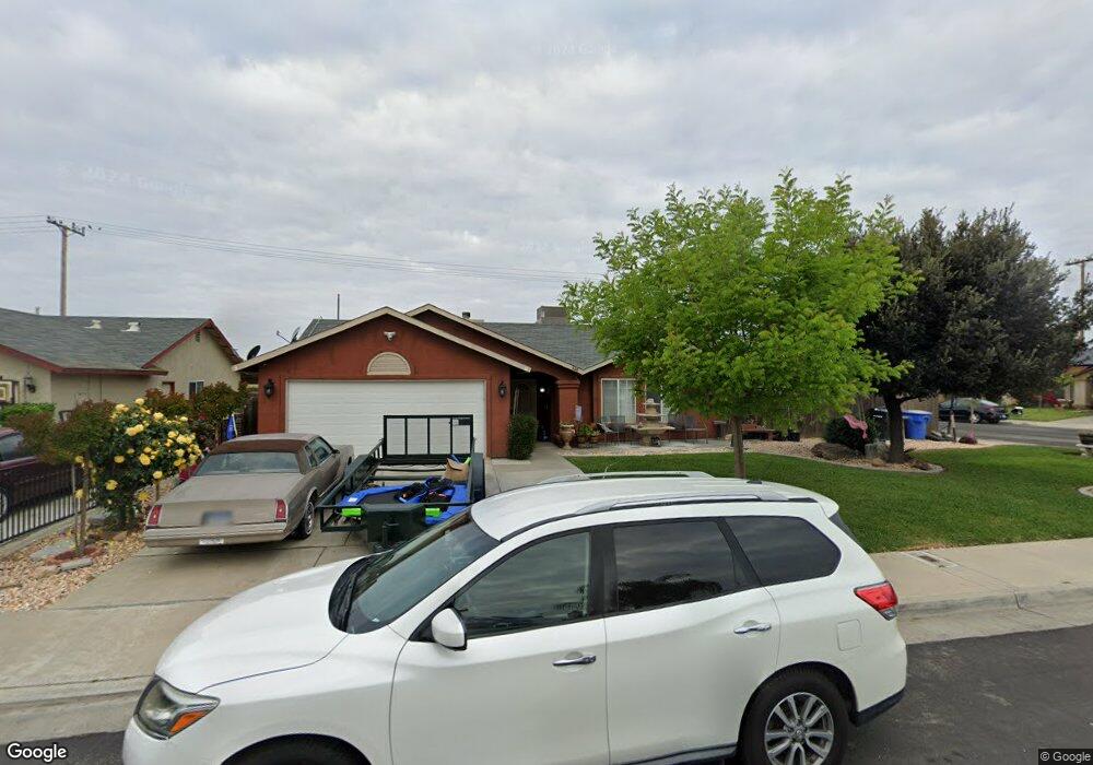
546 Parsons St Hanford, CA 93230
Estimated Value: $318,366 - $324,000
4
Beds
2
Baths
1,329
Sq Ft
$242/Sq Ft
Est. Value
About This Home
This home is located at 546 Parsons St, Hanford, CA 93230 and is currently estimated at $322,092, approximately $242 per square foot. 546 Parsons St is a home located in Kings County with nearby schools including Roosevelt Elementary School, Woodrow Wilson Junior High School, and Hanford West High School.
Ownership History
Date
Name
Owned For
Owner Type
Purchase Details
Closed on
Mar 31, 2010
Sold by
Meza Victoria and Reyes Perla
Bought by
Reyes Perla
Current Estimated Value
Purchase Details
Closed on
Feb 20, 2007
Sold by
Chilson Christopher Gale and Chilson Sandra Louise
Bought by
Meza Victoria and Reyes Perla
Home Financials for this Owner
Home Financials are based on the most recent Mortgage that was taken out on this home.
Original Mortgage
$224,000
Interest Rate
6.1%
Mortgage Type
Purchase Money Mortgage
Create a Home Valuation Report for This Property
The Home Valuation Report is an in-depth analysis detailing your home's value as well as a comparison with similar homes in the area
Home Values in the Area
Average Home Value in this Area
Purchase History
| Date | Buyer | Sale Price | Title Company |
|---|---|---|---|
| Reyes Perla | -- | None Available | |
| Meza Victoria | $224,000 | Financial Title Company |
Source: Public Records
Mortgage History
| Date | Status | Borrower | Loan Amount |
|---|---|---|---|
| Previous Owner | Meza Victoria | $224,000 |
Source: Public Records
Tax History Compared to Growth
Tax History
| Year | Tax Paid | Tax Assessment Tax Assessment Total Assessment is a certain percentage of the fair market value that is determined by local assessors to be the total taxable value of land and additions on the property. | Land | Improvement |
|---|---|---|---|---|
| 2025 | $1,918 | $180,713 | $51,632 | $129,081 |
| 2023 | $1,918 | $173,697 | $49,628 | $124,069 |
| 2022 | $1,878 | $170,292 | $48,655 | $121,637 |
| 2021 | $1,838 | $166,953 | $47,701 | $119,252 |
| 2020 | $1,857 | $165,241 | $47,212 | $118,029 |
| 2019 | $1,826 | $162,001 | $46,286 | $115,715 |
| 2018 | $1,774 | $158,824 | $45,378 | $113,446 |
| 2017 | $1,747 | $155,710 | $44,488 | $111,222 |
| 2016 | $1,724 | $152,657 | $43,616 | $109,041 |
| 2015 | $1,713 | $150,364 | $42,961 | $107,403 |
| 2014 | $1,680 | $147,418 | $42,119 | $105,299 |
Source: Public Records
Map
Nearby Homes
- 558 Parsons St
- 573 Manor Ave
- 735 Manor Ave
- 1240 Washington St
- 626 Kimball Ln
- 1405 Arthur St
- 152 Walnut St
- 1526 W Bison Ln Unit Ae 86
- 165 Walnut St
- 148 Walnut St
- 1575 Bluejay Cir
- 670 Grant St
- 8.11 Acres W Lacey Blvd
- 930 W 7th St
- 942 W 7th St
- 12319 12th Ave
- 650 S 11th Ave
- 1765 Parkside Dr
- 1121 W 6th St
- AE 85 W Bison Ln
- 570 Parsons St
- 1480 Lombard St
- 1470 Lombard St
- 545 Parsons St
- 533 Parsons St
- 557 Parsons St
- 1460 Lombard St
- 582 Parsons St
- 569 Parsons St
- 1450 Lombard St
- 581 Parsons St
- 594 Parsons St
- 550 Gable Way
- 538 Gable Way
- 562 Gable Way
- 1440 Lombard St
- 574 Gable Way
- 593 Parsons St
- 1430 Lombard St
- 586 Gable Way