546 Sharpners Pond Rd North Andover, MA 01845
Estimated Value: $1,109,000 - $1,506,000
4
Beds
3
Baths
3,628
Sq Ft
$345/Sq Ft
Est. Value
About This Home
This home is located at 546 Sharpners Pond Rd, North Andover, MA 01845 and is currently estimated at $1,251,688, approximately $345 per square foot. 546 Sharpners Pond Rd is a home located in Essex County with nearby schools including Annie L Sargent Elementary School, North Andover Middle School, and North Andover High School.
Ownership History
Date
Name
Owned For
Owner Type
Purchase Details
Closed on
Aug 1, 1997
Sold by
Mcconnell John W
Bought by
Petrozza John C
Current Estimated Value
Purchase Details
Closed on
Aug 30, 1993
Sold by
Preston Nancy L
Bought by
Mcconnell John W
Purchase Details
Closed on
Aug 9, 1991
Sold by
S B Homes Inc
Bought by
Preston Nancy L
Create a Home Valuation Report for This Property
The Home Valuation Report is an in-depth analysis detailing your home's value as well as a comparison with similar homes in the area
Home Values in the Area
Average Home Value in this Area
Purchase History
| Date | Buyer | Sale Price | Title Company |
|---|---|---|---|
| Petrozza John C | $385,000 | -- | |
| Mcconnell John W | $285,000 | -- | |
| Preston Nancy L | $265,000 | -- |
Source: Public Records
Mortgage History
| Date | Status | Borrower | Loan Amount |
|---|---|---|---|
| Open | Preston Nancy L | $417,000 | |
| Closed | Preston Nancy L | $50,000 |
Source: Public Records
Tax History Compared to Growth
Tax History
| Year | Tax Paid | Tax Assessment Tax Assessment Total Assessment is a certain percentage of the fair market value that is determined by local assessors to be the total taxable value of land and additions on the property. | Land | Improvement |
|---|---|---|---|---|
| 2025 | $11,736 | $1,042,300 | $467,500 | $574,800 |
| 2024 | $11,192 | $1,009,200 | $445,700 | $563,500 |
| 2023 | $10,998 | $898,500 | $401,200 | $497,300 |
| 2022 | $10,752 | $794,700 | $368,500 | $426,200 |
| 2021 | $10,405 | $734,300 | $342,400 | $391,900 |
| 2020 | $10,089 | $734,300 | $342,400 | $391,900 |
| 2019 | $9,847 | $734,300 | $342,400 | $391,900 |
| 2018 | $10,669 | $734,300 | $342,400 | $391,900 |
| 2017 | $10,039 | $703,000 | $268,500 | $434,500 |
| 2016 | $9,440 | $661,500 | $264,500 | $397,000 |
| 2015 | $9,577 | $665,500 | $261,300 | $404,200 |
Source: Public Records
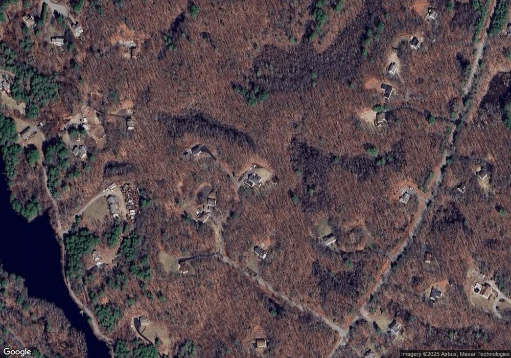
Map
Nearby Homes
- 660 Sharpners Pond Rd
- 480 Sharpners Pond Rd
- 851 Forest St
- 3 Harvest Dr Unit 106
- 2 Harvest Dr Unit 209
- 2 Harvest Dr Unit 301
- 3 Harvest Dr Unit 303
- 3 Harvest Dr Unit 107
- 50 Stonecleave Rd
- 10 Woodchuck Ln
- 7 Sullivan St
- Lot 2 (31) Lawrence Rd
- 112 Mill St
- 53 Lawrence Rd
- 196-200 B1 N Main St
- Lot 10 Stonecleave Rd
- 114 Stonecleave Rd
- 3 Warren Dr
- 77 Essex St
- 123 Forest St
- 544 Sharpners Pond Rd
- 548 Sharpners Pond Rd
- 540 Sharpners Pond Rd
- 582 Sharpners Pond Rd
- 600 Sharpners Pond Rd
- 542 Sharpners Pond Rd
- 490 Sharpners Pond Rd
- 484 Sharpners Pond Rd
- 614 Sharpners Pond Rd
- 672 Sharpners Pond Rd
- 520 Sharpners Pond Rd
- 492 Sharpners Pond Rd
- 488 Sharpners Pond Rd
- 488 Sharpners Pond Rd
- 482 Sharpners Pond Rd
- 684 Sharpners Pond Rd
- 585 Sharpners Pond Rd
- 557 Sharpners Pond Rd
- 617 Sharpners Pond Rd
- 545 Sharpners Pond Rd