Estimated Value: $168,000 - $328,000
Studio
--
Bath
2,061
Sq Ft
$110/Sq Ft
Est. Value
About This Home
This home is located at 546 Simpson Highway 28 E, Magee, MS 39111 and is currently estimated at $227,254, approximately $110 per square foot. 546 Simpson Highway 28 E is a home located in Simpson County with nearby schools including Magee Elementary School, Magee Middle School, and Magee High School.
Ownership History
Date
Name
Owned For
Owner Type
Purchase Details
Closed on
Apr 12, 2021
Sold by
Stringer John
Bought by
Jordan Brad and Miranda Jordan
Current Estimated Value
Home Financials for this Owner
Home Financials are based on the most recent Mortgage that was taken out on this home.
Original Mortgage
$69,541
Outstanding Balance
$38,436
Interest Rate
2.9%
Mortgage Type
New Conventional
Estimated Equity
$188,818
Purchase Details
Closed on
Nov 3, 2016
Sold by
King Heather A and Appelt John
Bought by
Stringeer John
Create a Home Valuation Report for This Property
The Home Valuation Report is an in-depth analysis detailing your home's value as well as a comparison with similar homes in the area
Purchase History
| Date | Buyer | Sale Price | Title Company |
|---|---|---|---|
| Jordan Brad | $92,489 | Buffington B Scott | |
| Stringeer John | -- | None Available |
Source: Public Records
Mortgage History
| Date | Status | Borrower | Loan Amount |
|---|---|---|---|
| Open | Jordan Brad | $69,541 |
Source: Public Records
Tax History
| Year | Tax Paid | Tax Assessment Tax Assessment Total Assessment is a certain percentage of the fair market value that is determined by local assessors to be the total taxable value of land and additions on the property. | Land | Improvement |
|---|---|---|---|---|
| 2025 | -- | $7,459 | $0 | $0 |
| 2024 | -- | $7,457 | $0 | $0 |
| 2023 | $0 | $7,189 | $0 | $0 |
| 2022 | $1,158 | $7,189 | $0 | $0 |
| 2021 | $1,158 | $10,721 | $0 | $0 |
| 2020 | $1,055 | $9,772 | $0 | $0 |
| 2019 | $1,011 | $9,772 | $0 | $0 |
| 2018 | $1,011 | $9,772 | $0 | $0 |
| 2017 | $1,011 | $9,772 | $0 | $0 |
| 2016 | $965 | $9,698 | $0 | $0 |
| 2015 | $931 | $9,698 | $0 | $0 |
| 2014 | $931 | $9,698 | $0 | $0 |
Source: Public Records
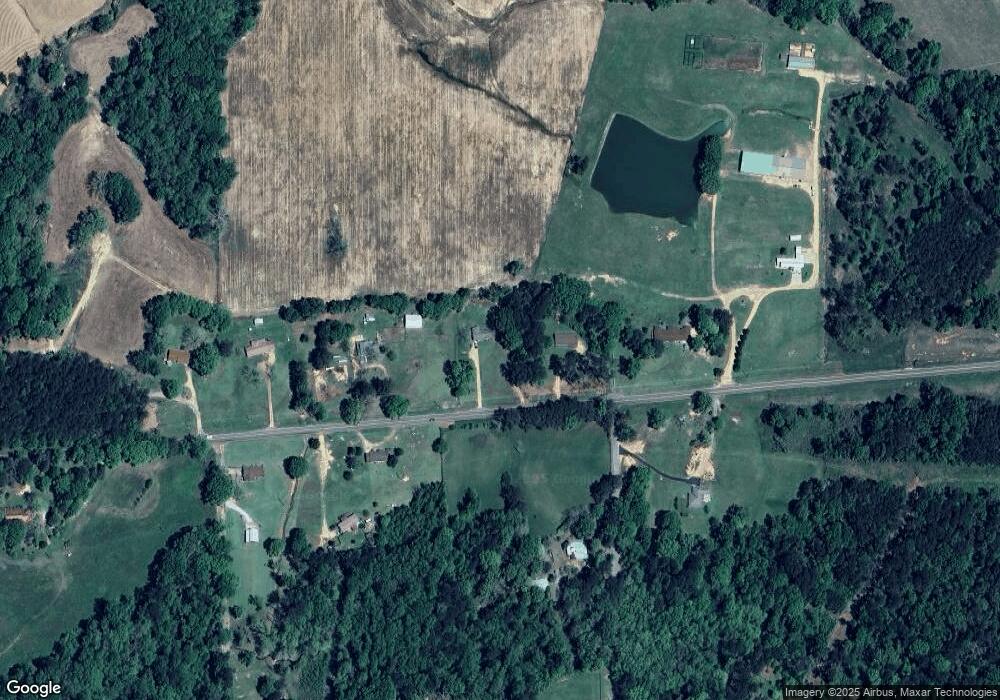
Map
Nearby Homes
- 283 Simpson Highway 28 E
- 149 John H Rd
- 0 Dry Creek Rd Unit 4141977
- 0 Dry Creek Rd Unit 4143424
- 1120 4th St SE
- 0 County Road 63
- 485 Scr 62
- 0 8th Ave Unit 4132915
- 612 Laurel Dr SE
- 391 Scr 62
- 520 Choctaw St E
- 429 1st Ave NE
- 334 Goshen Rd
- 210 N Jadek Dr NE
- 227 1st St SW
- 104 Kaden Kove
- 212 2nd Ave SW
- 107 NE Adams Ave
- 0 4th Ave SW
- 632 2nd Ave NW
- 556 Simpson Highway 28 E
- 556 Simpson Highway 28 E Unit 28
- 556 Simpson Highway 28 E
- 999 Mississippi 28
- 568 Simpson Highway 28 E
- 568 Mississippi 28
- 568 Hwy 28 E
- 292 Coats Rd
- 532 Simpson Highway 28 E
- 573 Simpson Highway 28 E
- 413 Albert Runnels Rd
- 531 Simpson Highway 28 E
- 516 Simpson Highway 28 E
- 515 Simpson Highway 28 E
- 146 Jim Maddox Rd
- 387 Albert Runnels Rd
- 682 Mississippi 28
- 618 Simpson Highway 28 E
- 123 Azalea Dr
- 128 Jim Maddox Rd
Your Personal Tour Guide
Ask me questions while you tour the home.