5461 Martin Rd Auburn, NY 13021
Estimated Value: $390,000 - $738,000
2
Beds
2
Baths
1,930
Sq Ft
$320/Sq Ft
Est. Value
About This Home
This home is located at 5461 Martin Rd, Auburn, NY 13021 and is currently estimated at $617,189, approximately $319 per square foot. 5461 Martin Rd is a home located in Cayuga County with nearby schools including Auburn Junior High School and Auburn High School.
Ownership History
Date
Name
Owned For
Owner Type
Purchase Details
Closed on
Mar 20, 2006
Sold by
Mazur John
Bought by
Tumber Stephen
Current Estimated Value
Home Financials for this Owner
Home Financials are based on the most recent Mortgage that was taken out on this home.
Original Mortgage
$230,000
Outstanding Balance
$131,136
Interest Rate
6.32%
Mortgage Type
New Conventional
Estimated Equity
$486,053
Purchase Details
Closed on
Aug 14, 2000
Sold by
Bisgrove and Marsha
Bought by
Mazur John
Create a Home Valuation Report for This Property
The Home Valuation Report is an in-depth analysis detailing your home's value as well as a comparison with similar homes in the area
Home Values in the Area
Average Home Value in this Area
Purchase History
| Date | Buyer | Sale Price | Title Company |
|---|---|---|---|
| Tumber Stephen | $287,500 | Charles Marangola | |
| Mazur John | $225,000 | Paul Carbonaro |
Source: Public Records
Mortgage History
| Date | Status | Borrower | Loan Amount |
|---|---|---|---|
| Open | Tumber Stephen | $230,000 |
Source: Public Records
Tax History Compared to Growth
Tax History
| Year | Tax Paid | Tax Assessment Tax Assessment Total Assessment is a certain percentage of the fair market value that is determined by local assessors to be the total taxable value of land and additions on the property. | Land | Improvement |
|---|---|---|---|---|
| 2024 | $12,726 | $343,100 | $79,100 | $264,000 |
| 2023 | $14,051 | $343,100 | $79,100 | $264,000 |
| 2022 | $13,657 | $343,100 | $79,100 | $264,000 |
| 2021 | $13,927 | $343,100 | $79,100 | $264,000 |
| 2020 | $11,886 | $343,100 | $79,100 | $264,000 |
| 2019 | $4,554 | $343,100 | $79,100 | $264,000 |
| 2018 | $11,084 | $343,100 | $79,100 | $264,000 |
| 2017 | $10,496 | $343,100 | $79,100 | $264,000 |
| 2016 | $10,008 | $343,100 | $79,100 | $264,000 |
| 2015 | $3,854 | $263,100 | $79,100 | $184,000 |
| 2014 | $3,854 | $263,100 | $79,100 | $184,000 |
Source: Public Records
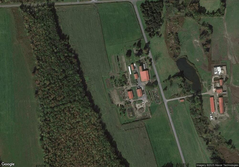
Map
Nearby Homes
- 5549 Town Hall Rd
- 3564 Swartout Rd
- 367 Waters Edge
- 6382 E Lake Rd
- 151 Burtis Point Rd
- 139 Burtis Point Rd
- 4985 Rockefeller Lot 2 Rd
- 4995 Rockefeller Lot 3 Rd
- 392 Glenbrook Dr
- 5880 North Rd
- 5388 W Lake Rd
- 5902 North Rd
- 5416 W Lake Rd
- 5199 W Lake Rd
- 5107 W Lake Rd
- 5567 W Lake Rd
- 5203 State Route 38a
- 5122 State Route 38a
- 5017 W Lake Rd
- 5601 Buck Point Rd
- 3655 Swartout Rd
- 3649 Swartout Rd
- 5381 Martin Rd
- 5381 Martin Rd
- 3623 Swartout Rd
- 3725 Swartout Rd
- 5367 Martin Rd
- 5523 Town Hall Rd
- 3561 Swartout Rd
- 5498 Bevier Rd
- 3801 Swartout Rd
- 5512 Bevier Rd
- 5528 Bevier Rd
- 5548 Bevier Rd
- 3834 Swartout Rd
- 5558 Bevier Rd
- 5282 Martin Rd
- 5261 Martin Rd Unit 711
- 5261 Martin Rd
- 00 Bevier Rd