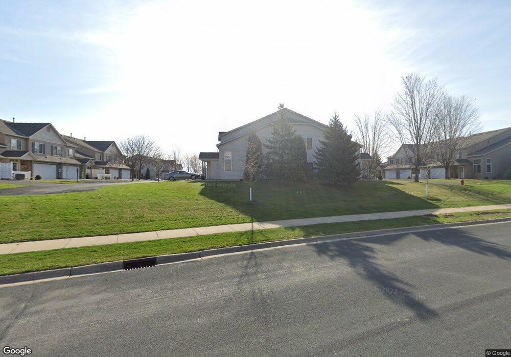
5469 Bryce Ave Inver Grove Heights, MN 55076
Estimated Value: $278,673 - $320,000
3
Beds
2
Baths
1,495
Sq Ft
$195/Sq Ft
Est. Value
About This Home
This home is located at 5469 Bryce Ave, Inver Grove Heights, MN 55076 and is currently estimated at $290,918, approximately $194 per square foot. 5469 Bryce Ave is a home located in Dakota County with nearby schools including Hilltop Elementary School, Inver Grove Heights Middle School, and Simley Senior High School.
Ownership History
Date
Name
Owned For
Owner Type
Purchase Details
Closed on
May 20, 2004
Sold by
Bruggeman Homes Inc
Bought by
Fairbanks Michael P and Inouye Juletta E
Current Estimated Value
Create a Home Valuation Report for This Property
The Home Valuation Report is an in-depth analysis detailing your home's value as well as a comparison with similar homes in the area
Home Values in the Area
Average Home Value in this Area
Purchase History
| Date | Buyer | Sale Price | Title Company |
|---|---|---|---|
| Fairbanks Michael P | $194,630 | -- |
Source: Public Records
Tax History Compared to Growth
Tax History
| Year | Tax Paid | Tax Assessment Tax Assessment Total Assessment is a certain percentage of the fair market value that is determined by local assessors to be the total taxable value of land and additions on the property. | Land | Improvement |
|---|---|---|---|---|
| 2024 | $2,560 | $247,200 | $51,500 | $195,700 |
| 2023 | $2,428 | $248,200 | $51,800 | $196,400 |
| 2022 | $2,166 | $241,500 | $51,700 | $189,800 |
| 2021 | $2,042 | $210,600 | $45,000 | $165,600 |
| 2020 | $1,922 | $197,200 | $42,800 | $154,400 |
| 2019 | $1,853 | $186,900 | $40,800 | $146,100 |
| 2018 | $1,786 | $170,700 | $37,800 | $132,900 |
| 2017 | $1,741 | $164,100 | $35,000 | $129,100 |
| 2016 | $1,822 | $157,700 | $33,300 | $124,400 |
| 2015 | $1,578 | $131,819 | $26,942 | $104,877 |
| 2014 | -- | $110,673 | $23,815 | $86,858 |
| 2013 | -- | $94,541 | $21,035 | $73,506 |
Source: Public Records
Map
Nearby Homes
- 5472 Bryce Ave
- 1205 8th Ave S
- 1253 7th Ave S
- 1333 6th Ave S
- 1456 6th Ave S
- 5903 Bryant Ln
- 1436 5th Ave S
- 5938 Burke Trail
- 5887 Blackberry Bridge Path
- 209 Macarthur St W
- 233 Richmond St W
- 6050 Cahill Ave
- 101 Frost St W
- 235 9th St S
- 804 8th Ave S
- 851 5th Ave S
- 6280 Carleda Way
- 159 Richmond St E
- 4852 Bisset Ln Unit 9504
- 227 Dale St E