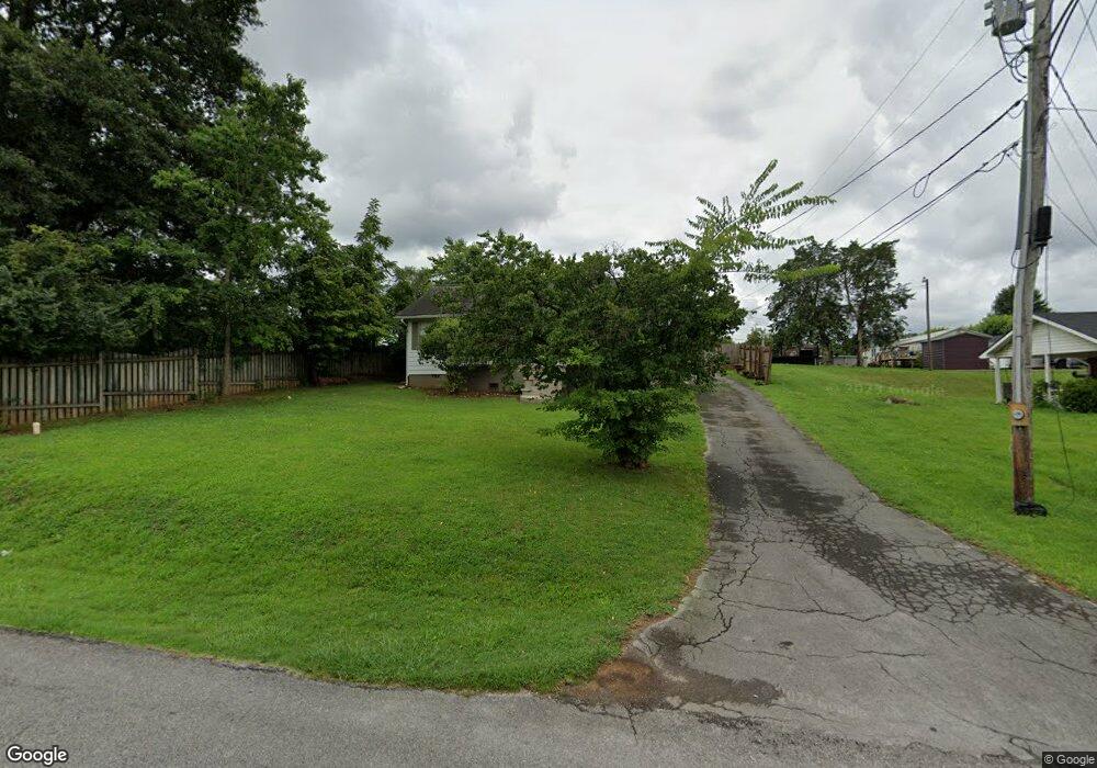
547 9th St Newport, TN 37821
Estimated Value: $148,230 - $184,000
--
Bed
1
Bath
912
Sq Ft
$182/Sq Ft
Est. Value
About This Home
This home is located at 547 9th St, Newport, TN 37821 and is currently estimated at $166,308, approximately $182 per square foot. 547 9th St is a home located in Cocke County with nearby schools including Newport Grammar School, Grace Christian School, and Calvary Baptist Tabernacle School.
Ownership History
Date
Name
Owned For
Owner Type
Purchase Details
Closed on
Oct 20, 2023
Sold by
Sexton Nancy
Bought by
Sexton Carla
Current Estimated Value
Purchase Details
Closed on
Oct 6, 2017
Sold by
Gregg Oscar Paul and Gregg Kimberely Ann
Bought by
Sexton Nancy
Purchase Details
Closed on
Aug 25, 2005
Sold by
Douglas Ruble Derwin
Bought by
Gregg Oscar Paul
Purchase Details
Closed on
Jul 19, 1999
Bought by
Derwin Douglas Ruble
Purchase Details
Closed on
Aug 23, 1993
Bought by
Ruble Douglas
Create a Home Valuation Report for This Property
The Home Valuation Report is an in-depth analysis detailing your home's value as well as a comparison with similar homes in the area
Home Values in the Area
Average Home Value in this Area
Purchase History
| Date | Buyer | Sale Price | Title Company |
|---|---|---|---|
| Sexton Carla | -- | None Listed On Document | |
| Sexton Nancy | $90,000 | None Available | |
| Gregg Oscar Paul | $51,000 | -- | |
| Derwin Douglas Ruble | $205,900 | -- | |
| Ruble Douglas | $112,400 | -- |
Source: Public Records
Tax History Compared to Growth
Tax History
| Year | Tax Paid | Tax Assessment Tax Assessment Total Assessment is a certain percentage of the fair market value that is determined by local assessors to be the total taxable value of land and additions on the property. | Land | Improvement |
|---|---|---|---|---|
| 2024 | $804 | $16,175 | $5,200 | $10,975 |
| 2023 | $804 | $16,175 | $5,200 | $10,975 |
| 2022 | $805 | $16,175 | $5,200 | $10,975 |
| 2021 | $805 | $16,175 | $5,200 | $10,975 |
| 2020 | $805 | $16,175 | $5,200 | $10,975 |
| 2019 | $804 | $14,700 | $5,200 | $9,500 |
| 2018 | $804 | $14,700 | $5,200 | $9,500 |
| 2017 | $826 | $14,275 | $4,775 | $9,500 |
| 2016 | $781 | $14,275 | $4,775 | $9,500 |
| 2015 | $598 | $14,275 | $4,775 | $9,500 |
| 2014 | $598 | $14,275 | $4,775 | $9,500 |
| 2013 | $598 | $14,425 | $3,550 | $10,875 |
Source: Public Records
Map
Nearby Homes
- 405 7th St
- 631 6th St
- 525 Freeman Ave
- 560 Rack Ln
- 356 Woodlawn Ave
- 704 7th St
- 532 Woodlawn Ave
- 771 Commanche Dr
- 338 Jefferson Ave
- 228 Washington Ave
- 581 Summit Ridge Dr
- 286 Belton Ave
- 208 Mims Ave
- 241 & 245 White Oak Ave
- 231 Southside Cir
- 520 Upper Broad St
- 302 Buckingham Dr
- 000 E Highway 25 70
- 139 Easy St
- 500 Buckingham Dr
- 403 Lincoln Ave
- 541 9th St
- 548 10th Street Annex
- 544 9th St
- 540 10th Street Annex
- 516 10th Street Annex
- 548 9th St
- 536 10th Street Annex
- 402 Washington Ave
- 408 Washington Ave
- 412 Washington Ave
- 534 9th St
- 416 Washington Ave
- 606 9th St
- 530 9th St
- 549 8th St
- 555 8th St
- 510 Mineral St
- 652 Frog Pond Alley
- 539 8th St