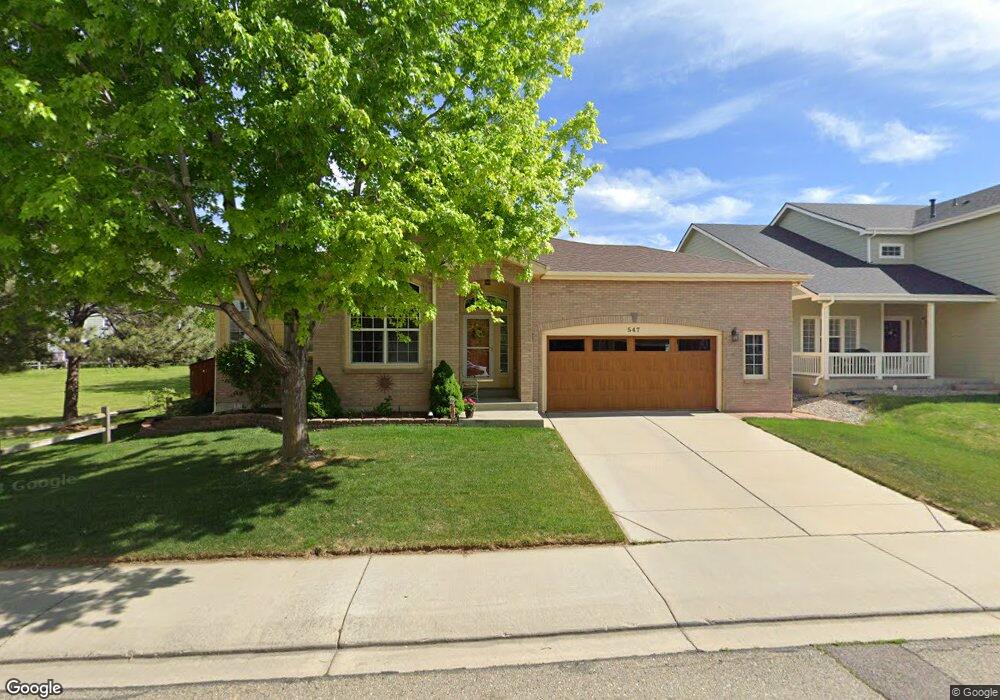
547 Abbey Dr Longmont, CO 80504
East Side NeighborhoodEstimated Value: $605,541 - $785,000
3
Beds
2
Baths
1,982
Sq Ft
$343/Sq Ft
Est. Value
About This Home
This home is located at 547 Abbey Dr, Longmont, CO 80504 and is currently estimated at $679,385, approximately $342 per square foot. 547 Abbey Dr is a home located in Boulder County with nearby schools including Alpine Elementary School, Skyline High School, and Longmont Christian School.
Ownership History
Date
Name
Owned For
Owner Type
Purchase Details
Closed on
Jan 30, 2009
Sold by
The Parkhurst Family Trust
Bought by
Gamet Carleton L
Current Estimated Value
Purchase Details
Closed on
Apr 19, 2001
Sold by
Parkhurst Donald L and Parkhurst Evelyn J
Bought by
The Parkhurst Family Trust
Purchase Details
Closed on
Feb 29, 2000
Sold by
Centex Homes
Bought by
Parkhurst Donald L
Create a Home Valuation Report for This Property
The Home Valuation Report is an in-depth analysis detailing your home's value as well as a comparison with similar homes in the area
Home Values in the Area
Average Home Value in this Area
Purchase History
| Date | Buyer | Sale Price | Title Company |
|---|---|---|---|
| Gamet Carleton L | $290,000 | First Colorado Title | |
| The Parkhurst Family Trust | -- | -- | |
| Parkhurst Donald L | $265,948 | -- |
Source: Public Records
Tax History Compared to Growth
Tax History
| Year | Tax Paid | Tax Assessment Tax Assessment Total Assessment is a certain percentage of the fair market value that is determined by local assessors to be the total taxable value of land and additions on the property. | Land | Improvement |
|---|---|---|---|---|
| 2025 | $3,185 | $39,663 | $7,263 | $32,400 |
| 2024 | $3,185 | $39,663 | $7,263 | $32,400 |
| 2023 | $3,141 | $39,992 | $8,000 | $35,678 |
| 2022 | $2,602 | $33,249 | $6,047 | $27,202 |
| 2021 | $2,636 | $34,206 | $6,221 | $27,985 |
| 2020 | $2,354 | $31,381 | $5,720 | $25,661 |
| 2019 | $3,000 | $31,381 | $5,720 | $25,661 |
| 2018 | $2,669 | $28,102 | $5,760 | $22,342 |
| 2017 | $2,633 | $31,068 | $6,368 | $24,700 |
| 2016 | $2,445 | $25,583 | $7,164 | $18,419 |
| 2015 | $2,330 | $20,815 | $4,776 | $16,039 |
| 2014 | $1,944 | $20,815 | $4,776 | $16,039 |
Source: Public Records
Map
Nearby Homes
- 1750 Preston Dr
- 605 Saint Andrews Dr
- 1705 Preston Dr
- 508 Ashford Dr
- 653 Glenarbor Cir
- 665 Glenarbor Cir
- 1761 Sunlight Dr
- 1703 Whitehall Dr Unit G
- 1703 Whitehall Dr Unit 3C
- 1703 Whitehall Dr Unit 10B
- 2010 Glenarbor Ct
- 1534 Mount Evans Dr
- 1455 Hilltop Dr
- 1840 Red Cloud Rd
- 1830 Red Cloud Rd
- 1711 Antero Dr
- 2100 Boise Ct
- 50 Forsyth Dr
- 1506 Crestwood Cir
- 2127 Astoria Ln