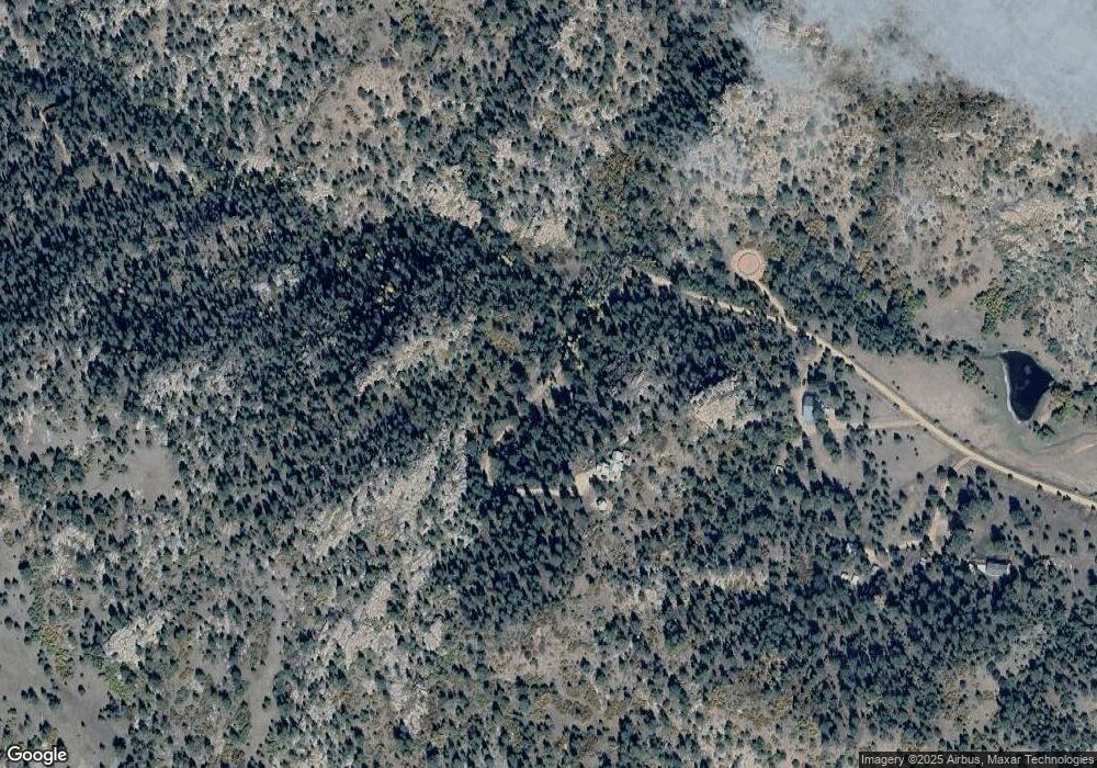
547 Comanche Trail Florissant, CO 80816
Estimated Value: $682,000 - $961,509
5
Beds
4
Baths
2,716
Sq Ft
$315/Sq Ft
Est. Value
About This Home
This home is located at 547 Comanche Trail, Florissant, CO 80816 and is currently estimated at $855,170, approximately $314 per square foot. 547 Comanche Trail is a home with nearby schools including Woodland Park Junior/Senior High School and Merit Academy.
Ownership History
Date
Name
Owned For
Owner Type
Purchase Details
Closed on
Nov 27, 2013
Sold by
Webb Susan E
Bought by
Shields William Ernest and Shields Lola Elizabeth
Current Estimated Value
Home Financials for this Owner
Home Financials are based on the most recent Mortgage that was taken out on this home.
Original Mortgage
$37,000
Interest Rate
4.34%
Mortgage Type
Seller Take Back
Purchase Details
Closed on
Mar 30, 1994
Bought by
Shields William Ernest and Shields Lola Elizabeth
Create a Home Valuation Report for This Property
The Home Valuation Report is an in-depth analysis detailing your home's value as well as a comparison with similar homes in the area
Home Values in the Area
Average Home Value in this Area
Purchase History
| Date | Buyer | Sale Price | Title Company |
|---|---|---|---|
| Shields William Ernest | $55,000 | Unified Title Company | |
| Shields William Ernest | $20,000 | -- |
Source: Public Records
Mortgage History
| Date | Status | Borrower | Loan Amount |
|---|---|---|---|
| Closed | Shields William Ernest | $37,000 |
Source: Public Records
Tax History Compared to Growth
Tax History
| Year | Tax Paid | Tax Assessment Tax Assessment Total Assessment is a certain percentage of the fair market value that is determined by local assessors to be the total taxable value of land and additions on the property. | Land | Improvement |
|---|---|---|---|---|
| 2024 | $3,212 | $55,350 | $7,657 | $47,693 |
| 2023 | $3,212 | $55,350 | $7,660 | $47,690 |
| 2022 | $2,418 | $42,680 | $4,850 | $37,830 |
| 2021 | $2,500 | $43,910 | $4,990 | $38,920 |
| 2020 | $2,272 | $40,870 | $5,270 | $35,600 |
| 2019 | $2,244 | $40,870 | $0 | $0 |
| 2018 | $1,962 | $34,650 | $0 | $0 |
| 2017 | $1,966 | $34,650 | $0 | $0 |
| 2016 | $1,829 | $32,130 | $0 | $0 |
| 2015 | $755 | $11,820 | $0 | $0 |
| 2014 | $1,112 | $17,170 | $0 | $0 |
Source: Public Records
Map
Nearby Homes
- 627 Navajo Trail
- 515 Valley View Dr
- 163 Valley View Dr
- 504 Bear Mountain Rd
- 71 Crestone Cir
- 187 Circle Dr
- 201 Lake Dr
- 133 Lake Dr
- 1110 Pikes Peak Dr
- 352 Peak View Cir
- 117 Vagabond Creek Terrace
- 784 Crestridge Rd
- 76 Crystal Peak Rd
- 77 Monarch Dr
- 584 Pikes Peak Dr
- 361 Crystal Peak Rd
- 2265 Vagabond Creek Dr
- 39609 U S 24
- 528 Comanche Trail
- 96 Drees Dr
- 157 Drees Dr
- 41 Drees Dr
- 124 Navajo Trail
- 186 Navajo Trail
- 624 Comanche Trail
- 166 Ute Rd
- 287 Drees Dr
- 523 Navajo Trail
- 26 Ute Trail
- 558 Navajo Trail
- 76 Ute Trail
- 132 Comanche Trail
- 163 Comanche Trail
- 325 Drees Dr
- 982 Commanche Trail
- 1002 Comanche Trail
- 227 Navajo Dr
- 556 Circle Dr
