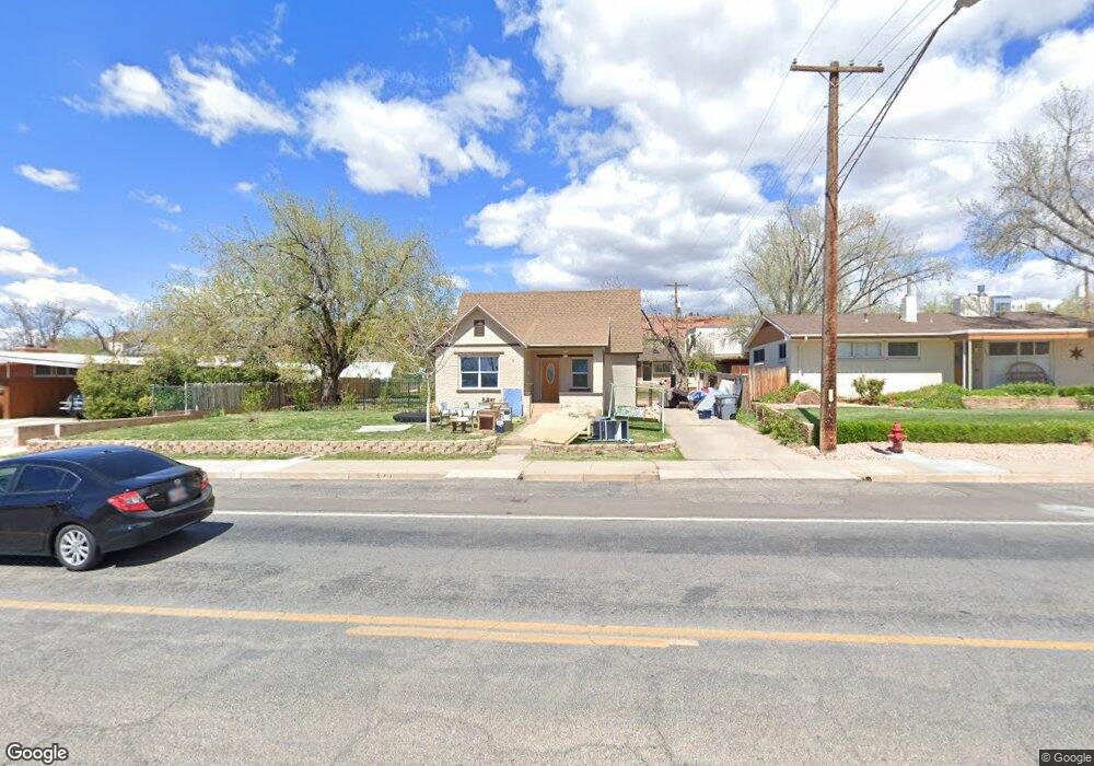
547 E 100 S Saint George, UT 84770
Estimated Value: $416,000 - $497,000
3
Beds
2
Baths
1,906
Sq Ft
$243/Sq Ft
Est. Value
About This Home
This home is located at 547 E 100 S, Saint George, UT 84770 and is currently estimated at $463,911, approximately $243 per square foot. 547 E 100 S is a home located in Washington County with nearby schools including Legacy School, Dixie Middle School, and Tonaquint Intermediate School.
Ownership History
Date
Name
Owned For
Owner Type
Purchase Details
Closed on
Nov 14, 2019
Sold by
Waseskuk Clayton W and Browne Weseskuk Angela
Bought by
Benson Glayds M
Current Estimated Value
Home Financials for this Owner
Home Financials are based on the most recent Mortgage that was taken out on this home.
Original Mortgage
$250,381
Outstanding Balance
$220,490
Interest Rate
3.65%
Mortgage Type
FHA
Estimated Equity
$243,421
Purchase Details
Closed on
Feb 6, 2017
Sold by
Waseskuk Clayto Nw
Bought by
Waseskuk Clayto Nw and Browne Waseskuk Angela
Create a Home Valuation Report for This Property
The Home Valuation Report is an in-depth analysis detailing your home's value as well as a comparison with similar homes in the area
Purchase History
| Date | Buyer | Sale Price | Title Company |
|---|---|---|---|
| Benson Glayds M | -- | Southern Utah Title Company | |
| Waseskuk Clayto Nw | -- | None Available |
Source: Public Records
Mortgage History
| Date | Status | Borrower | Loan Amount |
|---|---|---|---|
| Open | Benson Glayds M | $250,381 |
Source: Public Records
Tax History
| Year | Tax Paid | Tax Assessment Tax Assessment Total Assessment is a certain percentage of the fair market value that is determined by local assessors to be the total taxable value of land and additions on the property. | Land | Improvement |
|---|---|---|---|---|
| 2025 | $1,505 | $259,985 | $75,625 | $184,360 |
| 2023 | $1,507 | $225,170 | $57,475 | $167,695 |
| 2022 | $1,604 | $225,335 | $57,475 | $167,860 |
| 2021 | $1,421 | $297,800 | $82,500 | $215,300 |
| 2020 | $1,268 | $250,200 | $60,000 | $190,200 |
| 2019 | $1,015 | $195,600 | $55,000 | $140,600 |
| 2018 | $1,047 | $101,200 | $0 | $0 |
| 2017 | $1,026 | $99,165 | $0 | $0 |
| 2016 | $997 | $89,155 | $0 | $0 |
| 2015 | $922 | $79,035 | $0 | $0 |
| 2014 | $886 | $76,450 | $0 | $0 |
Source: Public Records
Map
Nearby Homes
- 197 S 600 E
- 376 E 300 S Unit 2
- 380 S 500 E
- 255 S 200 E Unit 13
- 96 S 200 E
- 459 S 500 E
- 295 S 200 E
- 233 S 1000 E
- 58 250 North St
- 453 S 100 E Unit 8
- 433 S 100 E
- 375 S Main St Unit 4
- 665 S 500 E
- 1109 E 400 S
- 454 S 100 E Unit 10
- 660 S 400 E Unit 4
- 443 E 700 S
- 1050 E 500 S Unit 15
- 134 S 100 W Unit 6
- 50 W 400 S Unit 6
Your Personal Tour Guide
Ask me questions while you tour the home.