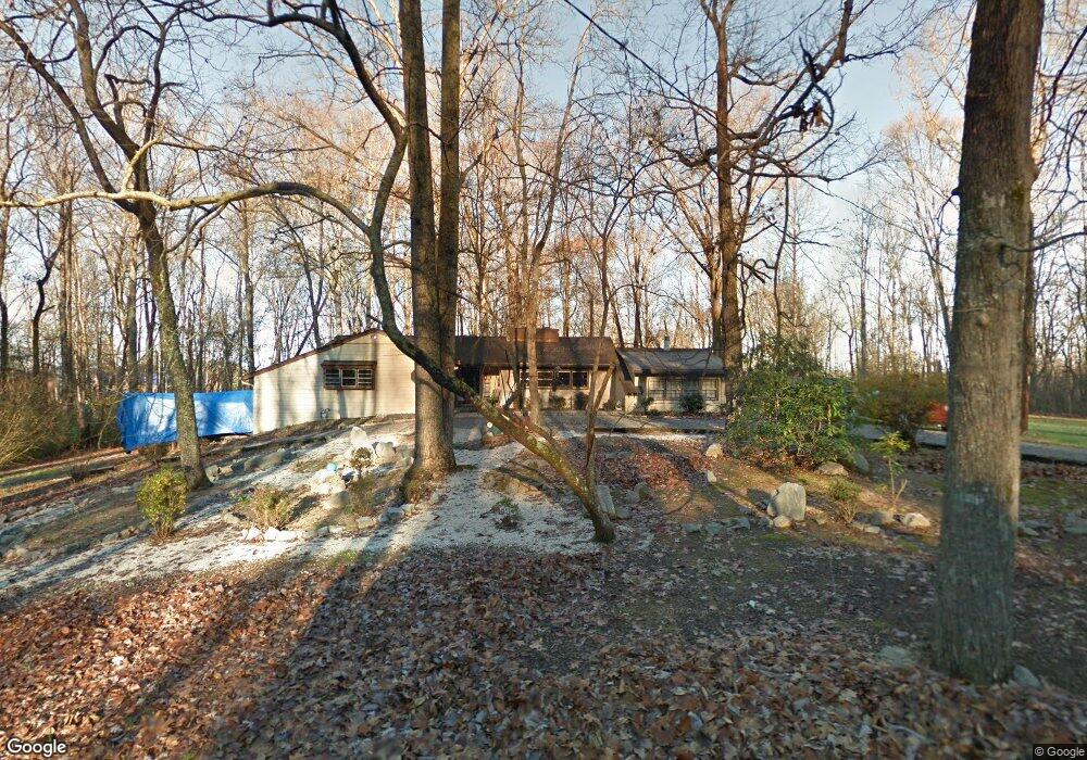
547 S David Ln Knoxville, TN 37922
Concord NeighborhoodEstimated Value: $500,000 - $587,000
3
Beds
3
Baths
2,106
Sq Ft
$259/Sq Ft
Est. Value
About This Home
This home is located at 547 S David Ln, Knoxville, TN 37922 and is currently estimated at $545,422, approximately $258 per square foot. 547 S David Ln is a home located in Knox County with nearby schools including Farragut Primary School, Farragut Intermediate School, and Farragut Middle School.
Ownership History
Date
Name
Owned For
Owner Type
Purchase Details
Closed on
Sep 19, 2021
Sold by
Rhodes Michael C and Rhodes Michael E
Bought by
Bailey Michael T
Current Estimated Value
Purchase Details
Closed on
Jul 29, 2011
Sold by
Rhodes Michael C and Rhodes Kathy
Bought by
Bailey Michael T
Purchase Details
Closed on
Sep 27, 2006
Sold by
Ogg Neil Justin and Gilmartin Alice Elaine
Bought by
Rhodes Michael E and Bailey Michael
Purchase Details
Closed on
Jun 19, 2006
Sold by
Ogg Neil Justin
Bought by
Ogg Neil Justin and Gilmartin Alice Elaine
Purchase Details
Closed on
Jan 26, 2001
Sold by
Ogg Wendall W and Ogg Marjorie Alice
Bought by
Ogg Marjorie Alice and Ogg Trust
Create a Home Valuation Report for This Property
The Home Valuation Report is an in-depth analysis detailing your home's value as well as a comparison with similar homes in the area
Home Values in the Area
Average Home Value in this Area
Purchase History
| Date | Buyer | Sale Price | Title Company |
|---|---|---|---|
| Bailey Michael T | -- | None Available | |
| Bailey Michael T | $446,500 | None Available | |
| Rhodes Michael E | $259,900 | None Available | |
| Ogg Neil Justin | -- | None Available | |
| Ogg Marjorie Alice | -- | -- |
Source: Public Records
Tax History Compared to Growth
Tax History
| Year | Tax Paid | Tax Assessment Tax Assessment Total Assessment is a certain percentage of the fair market value that is determined by local assessors to be the total taxable value of land and additions on the property. | Land | Improvement |
|---|---|---|---|---|
| 2024 | $1,379 | $88,750 | $0 | $0 |
| 2023 | $1,379 | $88,750 | $0 | $0 |
| 2022 | $1,379 | $88,750 | $0 | $0 |
| 2021 | $816 | $38,475 | $0 | $0 |
| 2020 | $816 | $38,475 | $0 | $0 |
| 2019 | $816 | $38,475 | $0 | $0 |
| 2018 | $816 | $38,475 | $0 | $0 |
| 2017 | $816 | $38,475 | $0 | $0 |
| 2016 | $976 | $0 | $0 | $0 |
| 2015 | $976 | $0 | $0 | $0 |
| 2014 | $976 | $0 | $0 | $0 |
Source: Public Records
Map
Nearby Homes
- 520 S David Ln
- 320 Queen Victoria Way
- 10921 Sallings Rd
- 10737 Prince Albert Way Unit 4
- 10504 Blakewood Dr
- 10605 Summit Mountain Ct
- 201 Farlow Dr
- 10820 Parkgate Ln
- 10900 Lookout Point
- 325 Laurel Ridge Ln
- 431 Laurel Ridge Ln
- 10655 Forest Crest Rd
- 624 Valley Hill Ln
- 437 Laurel Ridge Ln
- 140 Wakefield Rd
- 10316 Autumn Valley Ln
- 121 Durwood Rd Unit A
- 481 Laurel Ridge Ln
- 480 Laurel Ridge Ln
- 710 Canton Hollow Rd