5471 209th Ln NE Wyoming, MN 55092
Estimated Value: $372,157 - $411,000
2
Beds
1
Bath
962
Sq Ft
$410/Sq Ft
Est. Value
About This Home
This home is located at 5471 209th Ln NE, Wyoming, MN 55092 and is currently estimated at $394,789, approximately $410 per square foot. 5471 209th Ln NE is a home located in Anoka County with nearby schools including Linwood Elementary School and Forest Lake Area High School.
Ownership History
Date
Name
Owned For
Owner Type
Purchase Details
Closed on
Jul 31, 2012
Sold by
Secretary Of Housing & Urban Development
Bought by
Stone Marvin H
Current Estimated Value
Home Financials for this Owner
Home Financials are based on the most recent Mortgage that was taken out on this home.
Original Mortgage
$102,564
Outstanding Balance
$71,318
Interest Rate
3.75%
Mortgage Type
FHA
Estimated Equity
$323,471
Create a Home Valuation Report for This Property
The Home Valuation Report is an in-depth analysis detailing your home's value as well as a comparison with similar homes in the area
Home Values in the Area
Average Home Value in this Area
Purchase History
| Date | Buyer | Sale Price | Title Company |
|---|---|---|---|
| Stone Marvin H | $112,000 | -- |
Source: Public Records
Mortgage History
| Date | Status | Borrower | Loan Amount |
|---|---|---|---|
| Open | Stone Marvin H | $102,564 |
Source: Public Records
Tax History Compared to Growth
Tax History
| Year | Tax Paid | Tax Assessment Tax Assessment Total Assessment is a certain percentage of the fair market value that is determined by local assessors to be the total taxable value of land and additions on the property. | Land | Improvement |
|---|---|---|---|---|
| 2025 | $2,848 | $342,000 | $120,300 | $221,700 |
| 2024 | $2,848 | $324,100 | $112,100 | $212,000 |
| 2023 | $2,431 | $311,500 | $93,300 | $218,200 |
| 2022 | $2,284 | $301,200 | $74,500 | $226,700 |
| 2021 | $2,232 | $248,800 | $60,400 | $188,400 |
| 2020 | $2,222 | $232,000 | $57,300 | $174,700 |
| 2019 | $2,219 | $223,800 | $53,400 | $170,400 |
| 2018 | $1,846 | $215,400 | $0 | $0 |
| 2017 | $1,842 | $188,900 | $0 | $0 |
| 2016 | $1,833 | $179,100 | $0 | $0 |
| 2015 | $1,538 | $179,100 | $41,500 | $137,600 |
| 2014 | -- | $149,800 | $35,400 | $114,400 |
Source: Public Records
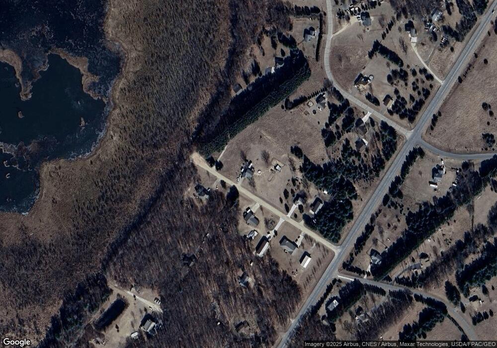
Map
Nearby Homes
- 20715 Minnie B Grant Ln NE
- 21205 Viking Blvd NE
- 21087 National St NE
- lot 3 217th Ave NE
- 5160 202nd Ln NE
- LOT 2 217th Ave NE
- lot 1 217th Ave NE
- 6226 213th Ln NE
- 21061 Kissel St NE
- L2,4XXX 217th Ave NE
- 21795 Willys St NE
- L1, XXXX 217th Ave NE
- XXXX 80th St N
- 20136 Erskine St NE
- 20826 Austin St NE
- 21207 Tippecanoe St NE
- 21727 Unser St NE
- 21057 Tippecanoe St NE
- 20852 Okinawa St NE
- 4061 226th Ln NE
- 5430 209th Ln NE
- 5440 209th Ln NE
- 5515 209th Ln NE
- 5480 209th Ln NE
- 5436 209th Ln NE
- 20890 Viking Blvd NE
- 5425 209th Ln NE
- 21030 W Linwood Dr NE
- 21043 W Linwood Dr NE
- 21070 W Linwood Dr NE
- 20925 Minnie B Grant Ln NE
- 20830 Viking Blvd NE
- 20880 Minnie B Grant Ln NE
- 5420 209th Ln NE
- 20800 Viking Blvd NE
- 5618 S Linwood Dr NE
- 21130 W Linwood Dr NE
- 21125 W Linwood Dr NE
- 20917 Minnie B Grant Ln NE
- 21127 W Linwood Dr NE