5471 Lackender Ave SW Riverside, IA 52327
Estimated Value: $446,000 - $809,000
4
Beds
2
Baths
2,162
Sq Ft
$269/Sq Ft
Est. Value
About This Home
This home is located at 5471 Lackender Ave SW, Riverside, IA 52327 and is currently estimated at $581,990, approximately $269 per square foot. 5471 Lackender Ave SW is a home located in Johnson County with nearby schools including Mid-Prairie High School.
Ownership History
Date
Name
Owned For
Owner Type
Purchase Details
Closed on
Nov 23, 2010
Sold by
Michel Richard A and Michel Maureen G
Bought by
Salow Adam and Salow Candice
Current Estimated Value
Home Financials for this Owner
Home Financials are based on the most recent Mortgage that was taken out on this home.
Original Mortgage
$17,950
Interest Rate
4.19%
Mortgage Type
Stand Alone Second
Create a Home Valuation Report for This Property
The Home Valuation Report is an in-depth analysis detailing your home's value as well as a comparison with similar homes in the area
Home Values in the Area
Average Home Value in this Area
Purchase History
| Date | Buyer | Sale Price | Title Company |
|---|---|---|---|
| Salow Adam | $253,000 | None Available |
Source: Public Records
Mortgage History
| Date | Status | Borrower | Loan Amount |
|---|---|---|---|
| Closed | Salow Adam | $17,950 | |
| Open | Salow Adam | $215,050 |
Source: Public Records
Tax History Compared to Growth
Tax History
| Year | Tax Paid | Tax Assessment Tax Assessment Total Assessment is a certain percentage of the fair market value that is determined by local assessors to be the total taxable value of land and additions on the property. | Land | Improvement |
|---|---|---|---|---|
| 2024 | $5,666 | $485,900 | $128,800 | $357,100 |
| 2023 | $5,274 | $485,300 | $128,800 | $356,500 |
| 2022 | $5,214 | $385,500 | $120,400 | $265,100 |
| 2021 | $4,702 | $385,500 | $120,400 | $265,100 |
| 2020 | $4,702 | $331,100 | $94,100 | $237,000 |
| 2019 | $3,848 | $331,100 | $94,100 | $237,000 |
| 2018 | $3,680 | $266,700 | $0 | $0 |
| 2017 | $3,792 | $257,900 | $82,400 | $175,500 |
| 2016 | $3,632 | $252,800 | $82,400 | $170,400 |
| 2015 | $3,632 | $252,800 | $82,400 | $170,400 |
| 2014 | $3,276 | $228,400 | $72,400 | $156,000 |
Source: Public Records
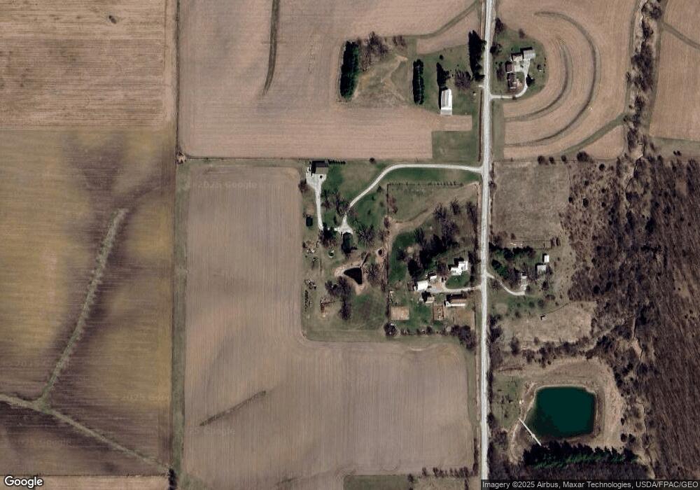
Map
Nearby Homes
- 1122 Pelican Dr
- Tbd Maier Ave SW
- 0 Windmill Ct Unit 2501943
- 5317 Oak Crest Hill Rd SE
- 251 Vine St Unit 102
- 702 Ash St
- 0.64 Acres M/L Boise St
- 114 Cherry Ln
- 83 Boise St
- 445 Galileo Dr
- 433 Galileo Dr
- Lot 78 Stone Ridge Estates
- Kleopfer Kleopfer Ave Unit 45 HIGHLAND HGTS ADD
- 321 Sycamore St
- 311 4th St E
- 61 Washburn St
- 5319 Oak Crest Hill Rd SE
- 5241 Oak Crest Hill Rd SE
- 5239 Oak Crest Hill Rd SE
- 5211 Oak Crest Hill Rd SE
- 5469 Lackender Ave SW
- 5464 Lackender Ave SW
- 5430 Lackender Ave SW
- 5511 Lackender Ave SW
- 5510 Lackender Ave SW
- 5508 Kansas Ave SW
- 5542 Lackender Ave SW
- 3027 540th St SW
- 5564 Lackender Ave SW
- 3239 540th St SW
- 3118 Bayertown Rd SW
- 3040 Bayertown Rd SW
- 3060 Bayertown Rd SW
- 5423 Kansas Ave SW
- 3197 Bayertown Rd SW
- 3289 540th St SW
- 5541 Kansas Ave SW
- 5353 Kansas Ave SW
- 3294 540th St SW
- 5335 Kansas Ave SW