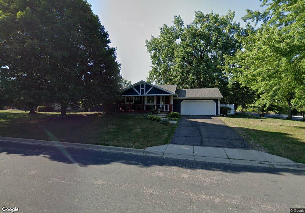
5473 W 132nd St Savage, MN 55378
Estimated Value: $365,949 - $399,000
3
Beds
2
Baths
1,202
Sq Ft
$320/Sq Ft
Est. Value
About This Home
This home is located at 5473 W 132nd St, Savage, MN 55378 and is currently estimated at $384,737, approximately $320 per square foot. 5473 W 132nd St is a home located in Scott County with nearby schools including Eagle Ridge Middle School, Burnsville High School, and St. John the Baptist Catholic School and Preschool.
Ownership History
Date
Name
Owned For
Owner Type
Purchase Details
Closed on
Jul 5, 2017
Sold by
Malsom Jesse J and Malsom Rachel V
Bought by
Tinebra Matthew P and Tinebra Amanda Lp
Current Estimated Value
Home Financials for this Owner
Home Financials are based on the most recent Mortgage that was taken out on this home.
Original Mortgage
$218,320
Outstanding Balance
$181,685
Interest Rate
3.95%
Mortgage Type
New Conventional
Estimated Equity
$203,052
Purchase Details
Closed on
Aug 28, 2003
Sold by
Rippberger John H and Rippberger Maryangela
Bought by
Malsom Jesse and Malsom Rachel C
Purchase Details
Closed on
Apr 28, 2000
Sold by
Randol Jeffrey S and Randol Mary H
Bought by
Rippberger John H and Rippberger Maryangela
Create a Home Valuation Report for This Property
The Home Valuation Report is an in-depth analysis detailing your home's value as well as a comparison with similar homes in the area
Home Values in the Area
Average Home Value in this Area
Purchase History
| Date | Buyer | Sale Price | Title Company |
|---|---|---|---|
| Tinebra Matthew P | $272,900 | Midland Title | |
| Malsom Jesse | $222,900 | -- | |
| Rippberger John H | $169,900 | -- |
Source: Public Records
Mortgage History
| Date | Status | Borrower | Loan Amount |
|---|---|---|---|
| Open | Tinebra Matthew P | $218,320 |
Source: Public Records
Tax History Compared to Growth
Tax History
| Year | Tax Paid | Tax Assessment Tax Assessment Total Assessment is a certain percentage of the fair market value that is determined by local assessors to be the total taxable value of land and additions on the property. | Land | Improvement |
|---|---|---|---|---|
| 2025 | $4,322 | $325,300 | $149,900 | $175,400 |
| 2024 | $4,216 | $331,600 | $156,200 | $175,400 |
| 2023 | $3,652 | $323,100 | $151,600 | $171,500 |
| 2022 | $3,018 | $339,700 | $151,600 | $188,100 |
| 2021 | $3,166 | $271,200 | $120,600 | $150,600 |
| 2020 | $3,314 | $266,900 | $115,400 | $151,500 |
| 2019 | $3,246 | $268,400 | $106,900 | $161,500 |
| 2018 | $2,978 | $0 | $0 | $0 |
| 2016 | $3,366 | $0 | $0 | $0 |
| 2014 | -- | $0 | $0 | $0 |
Source: Public Records
Map
Nearby Homes
- 5606 W 132nd St
- 5420 Riverwood Ln
- 5900 W 134th St
- 13471 Yosemite Ave S
- 13437 Zarthan Ave S
- 13270 Brunswick Ave S
- 6200 134th Ln
- 5502 137th Ln
- 13342 Natchez Ave
- 6512 133rd St
- 6514 134th Ln
- 4419 W 132nd St
- 4525 W 129th St
- 4430 McColl Dr
- 6627 133rd St
- 4318 McColl Dr
- xxxx Sumter Ave
- 13016 Glenhurst Ave
- 13960 Zarthan Ave S
- 5235 W 139th St
- 5447 W 132nd St
- 5446 132nd Ln
- 5425 W 132nd St
- 5468 W 132nd St
- 13250 Vernon Ave
- 13250 Vernon Ave
- 5418 132nd Ln
- 5438 W 132nd St
- 5395 W 132nd St
- 5412 W 132nd St
- 5535 Riverwood Ln
- 5559 W 132nd St
- 5396 132nd Ln
- 5469 132nd Ln
- 5575 W 132nd St
- 5371 W 132nd St
- 5443 132nd Ln
- 5443 132nd Ln W
- 13190 Utica Ave
- 5366 132nd Ln